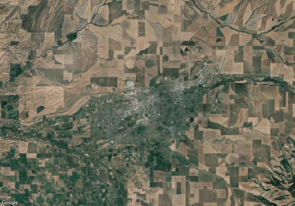
85411 Reynolds Rd Walla Walla, OR 97862
Estimated Value: $196,000 - $357,000
2
Beds
1
Bath
1,792
Sq Ft
$142/Sq Ft
Est. Value
About This Home
This home is located at 85411 Reynolds Rd, Walla Walla, OR 97862 and is currently estimated at $253,862, approximately $141 per square foot. 85411 Reynolds Rd is a home with nearby schools including Gib Olinger Elementary School and McLoughlin High School.
Ownership History
Date
Name
Owned For
Owner Type
Purchase Details
Closed on
Nov 21, 2023
Sold by
Palmer John D and Palmer Mary Ann
Bought by
Lfic Llc
Current Estimated Value
Purchase Details
Closed on
Jul 24, 2006
Sold by
Griffin Lance and Mills Erika
Bought by
Palmer John D and Palmer Mary Ann
Home Financials for this Owner
Home Financials are based on the most recent Mortgage that was taken out on this home.
Original Mortgage
$151,000
Interest Rate
6.69%
Mortgage Type
New Conventional
Create a Home Valuation Report for This Property
The Home Valuation Report is an in-depth analysis detailing your home's value as well as a comparison with similar homes in the area
Home Values in the Area
Average Home Value in this Area
Purchase History
| Date | Buyer | Sale Price | Title Company |
|---|---|---|---|
| Lfic Llc | $161,871 | Amerititle | |
| Palmer John D | -- | Amerititle |
Source: Public Records
Mortgage History
| Date | Status | Borrower | Loan Amount |
|---|---|---|---|
| Previous Owner | Palmer John D | $151,000 |
Source: Public Records
Tax History Compared to Growth
Tax History
| Year | Tax Paid | Tax Assessment Tax Assessment Total Assessment is a certain percentage of the fair market value that is determined by local assessors to be the total taxable value of land and additions on the property. | Land | Improvement |
|---|---|---|---|---|
| 2024 | $1,167 | $101,820 | $37,410 | $64,410 |
| 2023 | $1,141 | $98,860 | $36,320 | $62,540 |
| 2022 | $1,074 | $95,990 | $0 | $0 |
| 2021 | $1,080 | $93,200 | $34,234 | $58,966 |
| 2020 | $1,058 | $90,490 | $14,750 | $75,740 |
| 2018 | $1,001 | $85,310 | $13,900 | $71,410 |
| 2017 | $972 | $82,830 | $13,490 | $69,340 |
| 2016 | $947 | $80,420 | $13,090 | $67,330 |
| 2015 | $902 | $73,610 | $11,980 | $61,630 |
| 2014 | $818 | $73,610 | $11,980 | $61,630 |
Source: Public Records
Map
Nearby Homes
- 48 Blue Jay Loop
- 7345 Mill Creek Rd
- 430 Klicker Mountain Rd
- 18 Blue Creek Rd
- 469 Tag Ln
- 0 Foster Rd Unit 8471470
- 373 Tracy Rd
- 0 Lot 3 Biscuit Ridge Rd
- 0 Lot 2 Biscuit Ridge Rd
- 0 Lot 1 Biscuit Ridge Rd
- 9400 Lewis Peak Rd
- 9305 Lewis Peak Rd
- 0 Low Mountain Cabin Property Unit NWM2398047
- 0 S Fork Coppei Rd Unit NWM2316443
- 0 Seaman Rd Unit NWM2319564
- 6379 Lewis Peak Rd
- 135 Burnt Fork Ln
- 1629 Wheatcrest Rd
- 1853 Pike Place
- 1836 Pike Place
- 86398 Reynolds Dr
- 85402 Reynolds Rd
- 85451 Reynolds Dr
- 61028 Mill Creek Rd
- 85513 Reynolds Dr
- 85513 Reynolds Dr
- 61012 Mill Creek Rd
- 61160 Mill Creek Rd
- 3 Mill Creek Rd
- 60940 Mill Creek Rd
- 60926 Mill Creek Rd
- 60908 Mill Creek Rd
- 60834 Mill Creek Rd
- 60894 Mill Creek Rd
- 60868 Mill Creek Rd
- 60818 Mill Creek Rd
- 60926 Mill Creek Rd
- 60846 Mill Creek Rd
- 60974 Mill Creek Rd
