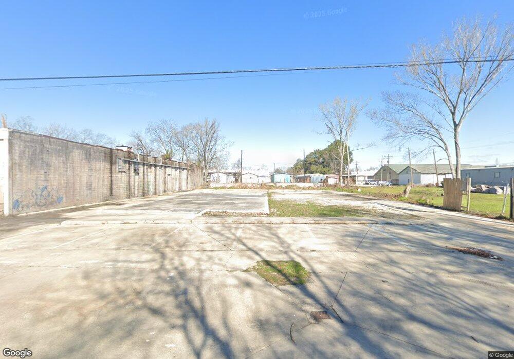
8545 Harry Dr Baton Rouge, LA 70815
Park Forest/LA North NeighborhoodEstimated Value: $84,671 - $86,000
--
Bed
--
Bath
4,303
Sq Ft
$20/Sq Ft
Est. Value
About This Home
This home is located at 8545 Harry Dr, Baton Rouge, LA 70815 and is currently estimated at $85,336, approximately $19 per square foot. 8545 Harry Dr is a home located in East Baton Rouge Parish with nearby schools including Broadmoor Elementary School, Park Forest Middle School, and Broadmoor Senior High School.
Ownership History
Date
Name
Owned For
Owner Type
Purchase Details
Closed on
Dec 20, 2024
Sold by
Weatherly Holdings Llc
Bought by
Ebenezer International Ministries
Current Estimated Value
Purchase Details
Closed on
Nov 3, 2005
Sold by
A And L Energy
Bought by
Tom Drive Self Storage 23
Purchase Details
Closed on
Feb 25, 2005
Sold by
Cumbo Joseph L
Bought by
A And L Energy
Create a Home Valuation Report for This Property
The Home Valuation Report is an in-depth analysis detailing your home's value as well as a comparison with similar homes in the area
Home Values in the Area
Average Home Value in this Area
Purchase History
| Date | Buyer | Sale Price | Title Company |
|---|---|---|---|
| Ebenezer International Ministries | $84,000 | Cypress Title | |
| Tom Drive Self Storage 23 | $22,500 | -- | |
| A And L Energy | $585,000 | -- |
Source: Public Records
Tax History Compared to Growth
Tax History
| Year | Tax Paid | Tax Assessment Tax Assessment Total Assessment is a certain percentage of the fair market value that is determined by local assessors to be the total taxable value of land and additions on the property. | Land | Improvement |
|---|---|---|---|---|
| 2024 | $217 | $1,850 | $1,850 | $0 |
| 2023 | $220 | $1,850 | $1,850 | $0 |
| 2022 | $221 | $1,850 | $1,850 | $0 |
| 2021 | $216 | $1,850 | $1,850 | $0 |
| 2020 | $214 | $1,850 | $1,850 | $0 |
| 2019 | $224 | $1,850 | $1,850 | $0 |
| 2018 | $1,393 | $11,650 | $1,850 | $9,800 |
| 2017 | $1,393 | $11,650 | $1,850 | $9,800 |
| 2016 | $1,359 | $11,650 | $1,850 | $9,800 |
| 2015 | $1,325 | $11,350 | $1,550 | $9,800 |
| 2014 | $1,320 | $11,350 | $1,550 | $9,800 |
| 2013 | -- | $11,350 | $1,550 | $9,800 |
Source: Public Records
Map
Nearby Homes
- 8345 Airline Hwy
- 8320 Airline Hwy
- 966 Landwood Dr
- 8221 Queenswood Ct
- 8067 Queenswood Ct
- 535 Thornwood Dr
- 466 Landwood Dr
- 2075 Monterrey Blvd
- 2921 Charlotte Dr
- 8763 Airline Hwy
- 9317 Ventura Dr
- 8954 Wynnewood St
- 9375 Cuyhanga Pkwy
- 9370 W Tams Dr
- 9141 Woodbine St
- 9076 Woodbine St
- 644 Monet Dr
- 1340 Hermosa Dr
- 3265 Charlotte Dr
- 6918 Goya Ave
- TBD Harry Dr Unit Lot C
- TBD Harry Dr
- 8465 Harry Dr
- 8118 Tom Dr Unit 800
- 8118 Tom Dr Unit 600
- 1450 N Airway Dr
- TBO Harry Dr
- 8486 Harry Dr
- 8181 Airline Hwy
- 8261 Airline Hwy
- 8329 Airline Hwy
- 1717 N Airway Dr
- 8367 Airline Hwy
- 8367 1/2 Airline Hwy
- 8308 Airline Hwy
- 8282 Airline Hwy
- 8383 Airline Hwy
- 8383 Airline Hwy
- 8384 Airline Hwy
- 8431 Airline Hwy