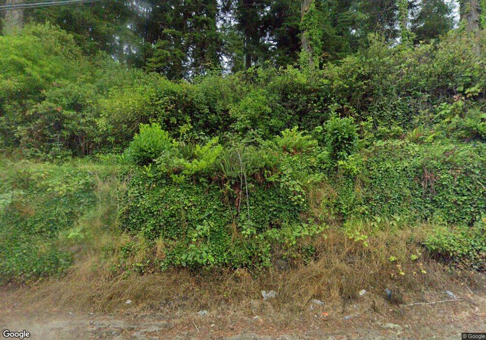
85465 Highway 101 Florence, OR 97439
Oregon Dunes NeighborhoodEstimated Value: $314,089 - $384,000
2
Beds
1
Bath
1,068
Sq Ft
$329/Sq Ft
Est. Value
About This Home
This home is located at 85465 Highway 101, Florence, OR 97439 and is currently estimated at $351,272, approximately $328 per square foot. 85465 Highway 101 is a home with nearby schools including Siuslaw Elementary School, Siuslaw Middle School, and Siuslaw High School.
Ownership History
Date
Name
Owned For
Owner Type
Purchase Details
Closed on
Sep 16, 2024
Sold by
Wynn James E and Wynn Tressie S
Bought by
James & Tressie Wynn Living Trust and Wynn
Current Estimated Value
Purchase Details
Closed on
Jan 6, 2014
Sold by
Wynn James and Wynn Tressie
Bought by
Wynn James and Wynn Tressie
Home Financials for this Owner
Home Financials are based on the most recent Mortgage that was taken out on this home.
Original Mortgage
$258,000
Interest Rate
4.26%
Mortgage Type
New Conventional
Create a Home Valuation Report for This Property
The Home Valuation Report is an in-depth analysis detailing your home's value as well as a comparison with similar homes in the area
Home Values in the Area
Average Home Value in this Area
Purchase History
| Date | Buyer | Sale Price | Title Company |
|---|---|---|---|
| James & Tressie Wynn Living Trust | -- | Cascade Title | |
| Wynn James | -- | First American Title |
Source: Public Records
Mortgage History
| Date | Status | Borrower | Loan Amount |
|---|---|---|---|
| Previous Owner | Wynn James | $258,000 |
Source: Public Records
Tax History Compared to Growth
Tax History
| Year | Tax Paid | Tax Assessment Tax Assessment Total Assessment is a certain percentage of the fair market value that is determined by local assessors to be the total taxable value of land and additions on the property. | Land | Improvement |
|---|---|---|---|---|
| 2024 | $1,523 | $135,076 | -- | -- |
| 2023 | $1,523 | $131,142 | $0 | $0 |
| 2022 | $1,422 | $127,323 | $0 | $0 |
| 2021 | $1,383 | $123,615 | $0 | $0 |
| 2020 | $1,344 | $120,015 | $0 | $0 |
| 2019 | $1,293 | $116,520 | $0 | $0 |
| 2018 | $1,306 | $109,832 | $0 | $0 |
| 2017 | $1,259 | $109,832 | $0 | $0 |
| 2016 | $1,225 | $106,633 | $0 | $0 |
| 2015 | $1,203 | $103,527 | $0 | $0 |
| 2014 | $1,184 | $100,512 | $0 | $0 |
Source: Public Records
Map
Nearby Homes
- 0 Hwy 101 Unit 659685850
- 85339 Glenada Rd
- 85287 Hemlock St
- 5170 Grand Ave Unit 19
- 01113 N Loftus Rd
- 4990 N Loftus Rd
- 5004 N Loftus Rd
- 4884 N Loftus Rd
- 75 Harbor St Unit 304
- 4898 S Loftus Rd
- 211 Harbor St Unit 31
- 1080 Bay St Unit 18
- 1080 Bay St Unit 19
- 289 Harbor St
- 1040 Bay St Unit 14
- 1695947 4th St
- 4990 Mitchell Loop Rd
- 0 Hemlock St Unit 24176357
- 0 Hemlock St Unit 23650308
- 0 Maple St Unit 7600 24079224
- 85411 Lake St
- 85415 Lake St
- 5242 Fisk St
- 85545 Pine St
- 85440 Lake St
- 85407 Lake St
- 85400 Lake St
- 5252 Fisk St
- 5270 Fisk St
- 85416 Armstrong Way
- 0 Fisk St Unit 1900 22171837
- 1900 Fisk St
- 0 Fisk St
- 5263 Harvard St
- 85556 Maple St
- 85550 Maple St
- 85356 Armstrong Way
- 85566 Maple St
- 85405 Armstrong Way
- 85557 Pine St
