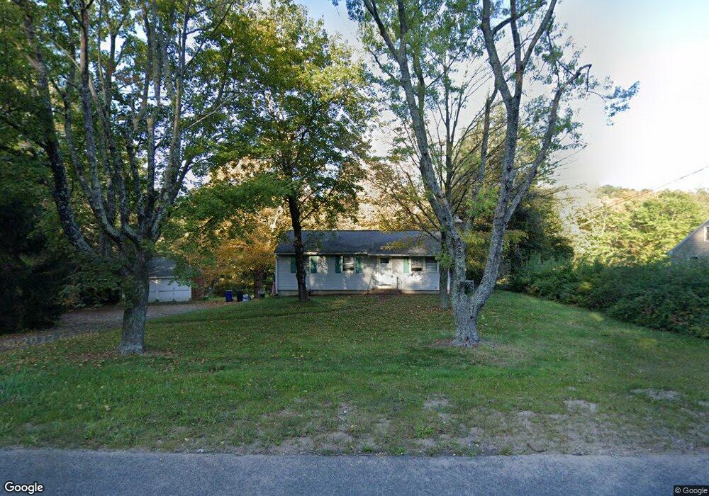
854R Hopriver Rd Bolton, CT 06043
Estimated Value: $336,000 - $364,948
3
Beds
2
Baths
1,316
Sq Ft
$264/Sq Ft
Est. Value
About This Home
This home is located at 854R Hopriver Rd, Bolton, CT 06043 and is currently estimated at $347,487, approximately $264 per square foot. 854R Hopriver Rd is a home located in Tolland County with nearby schools including Bolton Center School, Bolton High School, and Holy Seed Christian Academy.
Ownership History
Date
Name
Owned For
Owner Type
Purchase Details
Closed on
Feb 19, 2015
Sold by
Buckson William
Bought by
Mathewson Scott
Current Estimated Value
Home Financials for this Owner
Home Financials are based on the most recent Mortgage that was taken out on this home.
Original Mortgage
$163,975
Outstanding Balance
$124,376
Interest Rate
3.5%
Mortgage Type
FHA
Estimated Equity
$223,111
Create a Home Valuation Report for This Property
The Home Valuation Report is an in-depth analysis detailing your home's value as well as a comparison with similar homes in the area
Home Values in the Area
Average Home Value in this Area
Purchase History
| Date | Buyer | Sale Price | Title Company |
|---|---|---|---|
| Mathewson Scott | $163,975 | -- | |
| Mathewson Scott | $163,975 | -- |
Source: Public Records
Mortgage History
| Date | Status | Borrower | Loan Amount |
|---|---|---|---|
| Open | Mathewson Scott | $163,975 | |
| Closed | Mathewson Scott | $163,975 | |
| Previous Owner | Mathewson Scott | $10,000 |
Source: Public Records
Tax History Compared to Growth
Tax History
| Year | Tax Paid | Tax Assessment Tax Assessment Total Assessment is a certain percentage of the fair market value that is determined by local assessors to be the total taxable value of land and additions on the property. | Land | Improvement |
|---|---|---|---|---|
| 2024 | $6,293 | $192,200 | $51,900 | $140,300 |
| 2023 | $5,293 | $120,800 | $43,800 | $77,000 |
| 2022 | $4,763 | $120,800 | $43,800 | $77,000 |
| 2021 | $4,694 | $120,800 | $43,800 | $77,000 |
| 2020 | $4,694 | $120,800 | $43,800 | $77,000 |
| 2019 | $4,490 | $120,800 | $43,800 | $77,000 |
| 2015 | $4,365 | $118,700 | $0 | $0 |
| 2014 | -- | $118,700 | $0 | $0 |
Source: Public Records
Map
Nearby Homes
- 0 Rr 6 Route Unit 24064143
- 38 John Paul Ln
- 34 Hanover Farms Rd
- 16 Pine Ridge Dr
- 31 Clark Rd
- 1230 Boston Turnpike
- 7 Aspinall Dr
- 38 Aspinall Dr
- 105 School Rd
- 3224 South St
- 30 Tolland Rd
- 10 Lakeside Ln
- 0 Boston Turnpike Unit 24128587
- 49 Vernon Rd
- 80 Mount Sumner Dr
- 0 Skinner Hill Rd Unit 24077239
- 22 Tunxis Trail
- 5 Laurelwood Ln Unit lot 16
- 44 Enrico Rd
- 54 Wolf Hill Rd Unit TBB
- 854 Hopriver Rd
- 874 Hopriver Rd
- 836R Hopriver Rd
- 836 Hopriver Rd
- 882 Hopriver Rd
- 822 Hopriver Rd
- 841 Hopriver Rd
- 833 Hopriver Rd
- 861 Hopriver Rd
- 827 Hopriver Rd
- 792 Hopriver Rd
- 280 Route 6
- 811 Hopriver Rd
- 788 Hopriver Rd
- 777 Hopriver Rd
- 766 Hopriver Rd
- 49 Steel Crossing Rd
- 46 Watrous Rd
- 52 Steel Crossing Rd
- 50 Watrous Rd