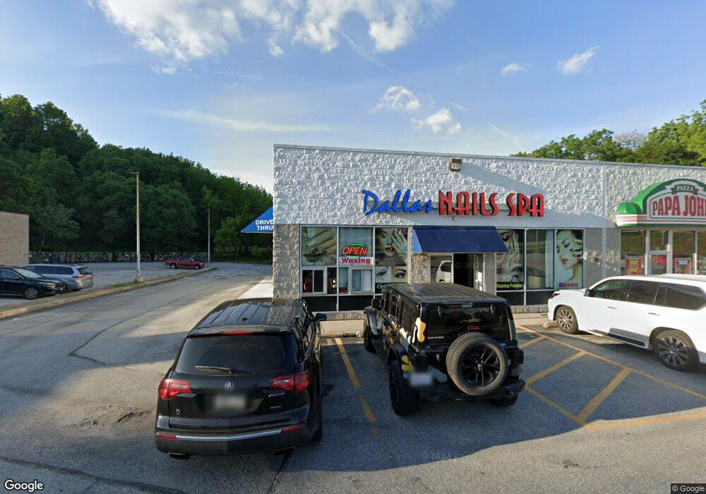
855 E Main St Unit LEASE UNIT 1 Dallastown, PA 17313
--
Bed
--
Bath
12,660
Sq Ft
1.42
Acres
About This Home
This home is located at 855 E Main St Unit LEASE UNIT 1, Dallastown, PA 17313. 855 E Main St Unit LEASE UNIT 1 is a home located in York County with nearby schools including York Township Elementary School, Dallastown Area Middle School, and Dallastown Area High School.
Ownership History
Date
Name
Owned For
Owner Type
Purchase Details
Closed on
Dec 16, 2015
Sold by
Keech David E and Keech Kimberly K
Bought by
Space Leasing Inc
Purchase Details
Closed on
Dec 5, 2006
Sold by
Partnership Eleven
Bought by
Partnership Eleven
Home Financials for this Owner
Home Financials are based on the most recent Mortgage that was taken out on this home.
Original Mortgage
$350,000
Interest Rate
6.36%
Mortgage Type
Commercial
Purchase Details
Closed on
May 1, 1984
Bought by
Partnership Eleven
Create a Home Valuation Report for This Property
The Home Valuation Report is an in-depth analysis detailing your home's value as well as a comparison with similar homes in the area
Home Values in the Area
Average Home Value in this Area
Purchase History
| Date | Buyer | Sale Price | Title Company |
|---|---|---|---|
| Space Leasing Inc | $1,950,000 | None Available | |
| Partnership Eleven | -- | None Available | |
| Partnership Eleven | $260,000 | -- |
Source: Public Records
Mortgage History
| Date | Status | Borrower | Loan Amount |
|---|---|---|---|
| Previous Owner | Partnership Eleven | $350,000 |
Source: Public Records
Tax History Compared to Growth
Tax History
| Year | Tax Paid | Tax Assessment Tax Assessment Total Assessment is a certain percentage of the fair market value that is determined by local assessors to be the total taxable value of land and additions on the property. | Land | Improvement |
|---|---|---|---|---|
| 2025 | $27,073 | $788,700 | $274,080 | $514,620 |
| 2024 | $26,679 | $788,700 | $274,080 | $514,620 |
| 2023 | $26,679 | $788,700 | $274,080 | $514,620 |
| 2022 | $25,806 | $788,700 | $274,080 | $514,620 |
| 2021 | $24,584 | $788,700 | $274,080 | $514,620 |
| 2020 | $24,584 | $788,700 | $274,080 | $514,620 |
| 2019 | $24,505 | $788,700 | $274,080 | $514,620 |
| 2018 | $24,339 | $788,700 | $274,080 | $514,620 |
| 2017 | $23,369 | $788,700 | $274,080 | $514,620 |
| 2016 | $0 | $788,700 | $274,080 | $514,620 |
| 2015 | -- | $788,700 | $274,080 | $514,620 |
| 2014 | -- | $788,700 | $274,080 | $514,620 |
Source: Public Records
Map
Nearby Homes
- 630 Woodland Ave
- 126 Country Ridge Dr
- 175 Country Ridge Dr
- 250 Country Ridge Dr
- 260 Country Ridge Dr
- 620 Boundary Ave
- 400 Carriage Ln Unit 400
- 1 N Duke St
- 503 W Broadway
- 116 S Franklin St
- 430 E Maple St
- 117 S Park St
- 118 Keener Ave
- 28 Pleasant Ave
- 214 Equine Cove Unit 214
- 227 Jutland Way
- 314 Boundary Ave
- 121 Furlong Way Unit 121
- 705 Summit Dr
- 81 1st Ave Unit E