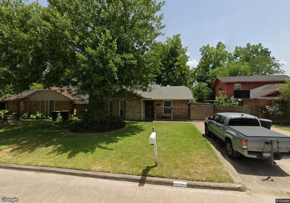
855 Grenshaw St Houston, TX 77088
Acres Homes NeighborhoodEstimated Value: $170,000 - $186,000
4
Beds
2
Baths
1,062
Sq Ft
$166/Sq Ft
Est. Value
About This Home
This home is located at 855 Grenshaw St, Houston, TX 77088 and is currently estimated at $176,346, approximately $166 per square foot. 855 Grenshaw St is a home located in Harris County with nearby schools including Osborne Elementary School, Williams Middle, and Booker T Washington Sr High.
Ownership History
Date
Name
Owned For
Owner Type
Purchase Details
Closed on
Mar 25, 2014
Sold by
Ponder Maria Jessica
Bought by
Vega Esperanza E
Current Estimated Value
Home Financials for this Owner
Home Financials are based on the most recent Mortgage that was taken out on this home.
Original Mortgage
$66,500
Outstanding Balance
$50,366
Interest Rate
4.32%
Mortgage Type
New Conventional
Estimated Equity
$125,980
Purchase Details
Closed on
Aug 4, 2006
Sold by
Morrison Loretta Gladys and Davis Adolph Henry
Bought by
Ponder Maria Jessica
Create a Home Valuation Report for This Property
The Home Valuation Report is an in-depth analysis detailing your home's value as well as a comparison with similar homes in the area
Home Values in the Area
Average Home Value in this Area
Purchase History
| Date | Buyer | Sale Price | Title Company |
|---|---|---|---|
| Vega Esperanza E | -- | None Available | |
| Ponder Maria Jessica | -- | None Available |
Source: Public Records
Mortgage History
| Date | Status | Borrower | Loan Amount |
|---|---|---|---|
| Open | Vega Esperanza E | $66,500 |
Source: Public Records
Tax History Compared to Growth
Tax History
| Year | Tax Paid | Tax Assessment Tax Assessment Total Assessment is a certain percentage of the fair market value that is determined by local assessors to be the total taxable value of land and additions on the property. | Land | Improvement |
|---|---|---|---|---|
| 2025 | $1,161 | $167,458 | $58,344 | $109,114 |
| 2024 | $1,161 | $153,814 | $58,344 | $95,470 |
| 2023 | $1,161 | $126,326 | $58,344 | $67,982 |
| 2022 | $2,151 | $124,551 | $45,084 | $79,467 |
| 2021 | $2,070 | $105,809 | $26,520 | $79,289 |
| 2020 | $1,955 | $94,367 | $23,868 | $70,499 |
| 2019 | $1,857 | $88,049 | $23,868 | $64,181 |
| 2018 | $1,056 | $66,728 | $11,934 | $54,794 |
| 2017 | $1,687 | $66,728 | $11,934 | $54,794 |
| 2016 | $1,687 | $66,728 | $11,934 | $54,794 |
| 2015 | $1,091 | $63,971 | $11,934 | $52,037 |
| 2014 | $1,091 | $42,443 | $11,934 | $30,509 |
Source: Public Records
Map
Nearby Homes
- 8602 De Priest St
- 0 Marcolin St
- 905 Ferguson Way
- 0 Grenshaw
- 907 Ferguson Way
- 8314 De Priest St
- 854 Junell St
- 1314 Tarberry Rd
- 0 Marjorie
- 769 Marjorie St
- 958 Conklin St
- 8324 Williamsdell St
- 8322 Williamsdell St
- 8320 Williamsdell St
- 8310 Williamsdell St
- 934 South Ln
- 936 - A&B South Ln
- 954A Junell St
- 954 W Bertrand St
- 830 Ringold St
- 851 Grenshaw St
- 859 Grenshaw St
- 863 Grenshaw St
- 847 Grenshaw St
- 866 Marcolin St
- 870 Marcolin St
- 862 Marcolin St
- 874 Marcolin St
- 858 Marcolin St
- 867 Grenshaw St
- 843 Grenshaw St
- 854 Grenshaw St
- 858 Grenshaw St
- 850 Grenshaw St
- 878 Marcolin St
- 854 Marcolin St
- 862 Grenshaw St
- 846 Grenshaw St
- 839 Grenshaw St
- 871 Grenshaw St