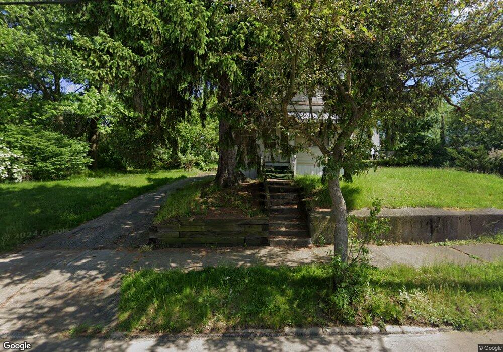
855 Kenyon St Akron, OH 44311
Summit Lake NeighborhoodEstimated Value: $65,151 - $87,000
3
Beds
1
Bath
1,238
Sq Ft
$62/Sq Ft
Est. Value
About This Home
This home is located at 855 Kenyon St, Akron, OH 44311 and is currently estimated at $77,288, approximately $62 per square foot. 855 Kenyon St is a home located in Summit County with nearby schools including North High School and St. Bernard-St. Mary Elementary School.
Ownership History
Date
Name
Owned For
Owner Type
Purchase Details
Closed on
Oct 17, 1996
Sold by
Est Florence G Walter
Bought by
Williams Darnell L and Williams Georgia L
Current Estimated Value
Home Financials for this Owner
Home Financials are based on the most recent Mortgage that was taken out on this home.
Original Mortgage
$32,000
Outstanding Balance
$3,030
Interest Rate
8.44%
Mortgage Type
New Conventional
Estimated Equity
$74,258
Create a Home Valuation Report for This Property
The Home Valuation Report is an in-depth analysis detailing your home's value as well as a comparison with similar homes in the area
Home Values in the Area
Average Home Value in this Area
Purchase History
| Date | Buyer | Sale Price | Title Company |
|---|---|---|---|
| Williams Darnell L | $33,000 | -- |
Source: Public Records
Mortgage History
| Date | Status | Borrower | Loan Amount |
|---|---|---|---|
| Open | Williams Darnell L | $32,000 |
Source: Public Records
Tax History
| Year | Tax Paid | Tax Assessment Tax Assessment Total Assessment is a certain percentage of the fair market value that is determined by local assessors to be the total taxable value of land and additions on the property. | Land | Improvement |
|---|---|---|---|---|
| 2025 | $905 | $12,044 | $3,595 | $8,449 |
| 2024 | $905 | $12,044 | $3,595 | $8,449 |
| 2023 | $905 | $12,044 | $3,595 | $8,449 |
| 2022 | $746 | $7,084 | $2,114 | $4,970 |
| 2021 | $625 | $7,084 | $2,114 | $4,970 |
| 2020 | $618 | $7,080 | $2,110 | $4,970 |
| 2019 | $1,006 | $11,780 | $4,790 | $6,990 |
| 2018 | $994 | $11,780 | $4,790 | $6,990 |
| 2017 | $378 | $11,780 | $4,790 | $6,990 |
| 2016 | $379 | $11,960 | $4,790 | $7,170 |
| 2015 | $378 | $11,960 | $4,790 | $7,170 |
| 2014 | $377 | $11,960 | $4,790 | $7,170 |
| 2013 | $427 | $12,760 | $4,790 | $7,970 |
Source: Public Records
Map
Nearby Homes
- 258 Oberlin Ct
- 834 Kenyon St
- 810 Amherst St
- 163 Russell Ave
- 849 Amherst St
- 963 Morningstar Dr
- 837 Yale St
- 829 Yale St
- 443 W Thornton St
- 994 Moeller Ave
- 108 Furnace Run Dr Unit 14108
- 924 Lane St
- 121 Lake St
- 89 Furnace Run Dr Unit 89
- 1011 Laurel Ave
- 198 Lake St
- 817 Raymond St
- 1021 La Croix Ave
- 333 Lloyd St
- 1132 Bristol Terrace
Your Personal Tour Guide
Ask me questions while you tour the home.