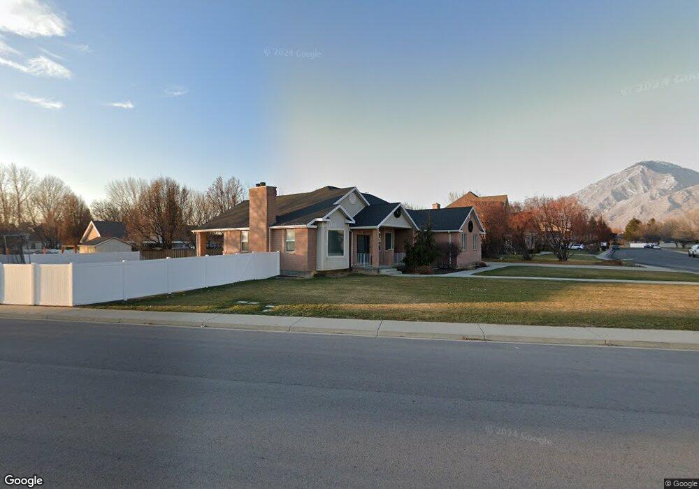
855 N 1040 W Mapleton, UT 84664
Estimated Value: $738,000 - $854,189
6
Beds
3
Baths
4,150
Sq Ft
$191/Sq Ft
Est. Value
About This Home
This home is located at 855 N 1040 W, Mapleton, UT 84664 and is currently estimated at $794,047, approximately $191 per square foot. 855 N 1040 W is a home located in Utah County with nearby schools including Mapleton School, Mapleton Junior High School, and Maple Mountain High School.
Ownership History
Date
Name
Owned For
Owner Type
Purchase Details
Closed on
Nov 25, 2014
Sold by
Tippets Michael K and Tippets Angela B
Bought by
M A T Trust
Current Estimated Value
Purchase Details
Closed on
Aug 20, 2007
Sold by
Tippets Michael and Tippets Angie
Bought by
Tippets Michael K and Tippets Angela B
Purchase Details
Closed on
May 26, 1999
Sold by
Kinghorn Franklin G and Kinghorn Alice
Bought by
Tippets Michael and Tippetts Angie
Home Financials for this Owner
Home Financials are based on the most recent Mortgage that was taken out on this home.
Original Mortgage
$239,000
Outstanding Balance
$62,046
Interest Rate
6.86%
Estimated Equity
$732,001
Create a Home Valuation Report for This Property
The Home Valuation Report is an in-depth analysis detailing your home's value as well as a comparison with similar homes in the area
Home Values in the Area
Average Home Value in this Area
Purchase History
| Date | Buyer | Sale Price | Title Company |
|---|---|---|---|
| M A T Trust | -- | Pro Title And Escrow Inc | |
| Tippets Michael K | -- | Pro Title & Escrow Inc | |
| Tippets Michael K | -- | None Available | |
| Tippets Michael | -- | Pro Title & Escrow Inc |
Source: Public Records
Mortgage History
| Date | Status | Borrower | Loan Amount |
|---|---|---|---|
| Open | Tippets Michael | $239,000 |
Source: Public Records
Tax History
| Year | Tax Paid | Tax Assessment Tax Assessment Total Assessment is a certain percentage of the fair market value that is determined by local assessors to be the total taxable value of land and additions on the property. | Land | Improvement |
|---|---|---|---|---|
| 2025 | $3,707 | $388,465 | -- | -- |
| 2024 | $3,707 | $363,110 | $0 | $0 |
| 2023 | $3,926 | $387,035 | $0 | $0 |
| 2022 | $4,163 | $405,790 | $0 | $0 |
| 2021 | $3,527 | $527,900 | $171,900 | $356,000 |
| 2020 | $3,510 | $508,100 | $152,100 | $356,000 |
| 2019 | $3,293 | $486,500 | $145,900 | $340,600 |
| 2018 | $3,046 | $428,500 | $122,900 | $305,600 |
| 2017 | $2,828 | $211,090 | $0 | $0 |
| 2016 | $2,618 | $194,260 | $0 | $0 |
| 2015 | $2,458 | $181,280 | $0 | $0 |
| 2014 | -- | $179,190 | $0 | $0 |
Source: Public Records
Map
Nearby Homes
- 405 W 1200 N Unit 4
- 487 W 1200 N Unit 1
- 1446 W 600 N Unit 5
- 1512 W 600 N Unit 4
- 754 W 400 N Unit 29
- 667 N 550 W
- 1410 W 1200 N
- 572 W 500 N
- 648 W 400 N
- 1142 W 220 N
- 1272 W 220 N
- 1631 W Century Ln Unit B
- 1222 W 190 N
- 1836 W 800 N
- 126 N 800 W
- 581 N Heritage St Unit 5
- 599 N Heritage St Unit 6
- 641 N Heritage St Unit 8
- 657 N Heritage St Unit 9
- 683 N Heritage St
Your Personal Tour Guide
Ask me questions while you tour the home.