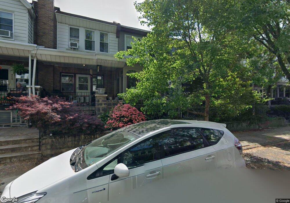
855 N Woodstock St Philadelphia, PA 19130
Fairmount NeighborhoodEstimated Value: $476,000 - $516,610
3
Beds
1
Bath
1,200
Sq Ft
$414/Sq Ft
Est. Value
About This Home
This home is located at 855 N Woodstock St, Philadelphia, PA 19130 and is currently estimated at $497,153, approximately $414 per square foot. 855 N Woodstock St is a home located in Philadelphia County with nearby schools including Bache-Martin School, Benjamin Franklin High School, and The City School-Fairmount Campus.
Ownership History
Date
Name
Owned For
Owner Type
Purchase Details
Closed on
Oct 31, 2002
Sold by
Bernard Daniel R
Bought by
Wadlinger Edward J and Cohen Diane C
Current Estimated Value
Home Financials for this Owner
Home Financials are based on the most recent Mortgage that was taken out on this home.
Original Mortgage
$164,000
Outstanding Balance
$68,793
Interest Rate
6.04%
Estimated Equity
$428,360
Purchase Details
Closed on
Jul 28, 1999
Sold by
Hurley Dale P and Hurley Elizabeth
Bought by
Bernard Daniel R
Purchase Details
Closed on
Sep 6, 1994
Sold by
Bergman Peter J and Bergman Carol A
Bought by
Hurley Dale P and Hurley Elizabeth
Create a Home Valuation Report for This Property
The Home Valuation Report is an in-depth analysis detailing your home's value as well as a comparison with similar homes in the area
Home Values in the Area
Average Home Value in this Area
Purchase History
| Date | Buyer | Sale Price | Title Company |
|---|---|---|---|
| Wadlinger Edward J | $205,000 | Commonwealth Land Title Ins | |
| Bernard Daniel R | $81,000 | -- | |
| Hurley Dale P | $77,000 | -- |
Source: Public Records
Mortgage History
| Date | Status | Borrower | Loan Amount |
|---|---|---|---|
| Open | Wadlinger Edward J | $164,000 |
Source: Public Records
Tax History Compared to Growth
Tax History
| Year | Tax Paid | Tax Assessment Tax Assessment Total Assessment is a certain percentage of the fair market value that is determined by local assessors to be the total taxable value of land and additions on the property. | Land | Improvement |
|---|---|---|---|---|
| 2025 | $5,790 | $492,500 | $98,500 | $394,000 |
| 2024 | $5,790 | $492,500 | $98,500 | $394,000 |
| 2023 | $5,790 | $413,600 | $82,720 | $330,880 |
| 2022 | $4,855 | $368,600 | $82,720 | $285,880 |
| 2021 | $5,484 | $0 | $0 | $0 |
| 2020 | $5,484 | $0 | $0 | $0 |
| 2019 | $5,308 | $0 | $0 | $0 |
| 2018 | $4,164 | $0 | $0 | $0 |
| 2017 | $4,584 | $0 | $0 | $0 |
| 2016 | $4,164 | $0 | $0 | $0 |
| 2015 | $3,987 | $0 | $0 | $0 |
| 2014 | -- | $327,500 | $55,488 | $272,012 |
| 2012 | -- | $38,400 | $9,792 | $28,608 |
Source: Public Records
Map
Nearby Homes
- 882 N Woodstock St
- 2022 Ogden St
- 881 N Beechwood St
- 2010 Ogden St
- 827 Corinthian Ave
- 835 N Capitol St
- 871 N 20th St Unit 1
- 1929 W George St
- 2007 Cambridge St
- 1926 Poplar St Unit 1
- 1932 Cambridge St Unit A
- 2019 W Girard Ave
- 864 N 19th St
- 755 N Capitol St
- 1902 Poplar St Unit A
- 1919 Brown St Unit 2
- 747 N Capitol St
- 753 55 N 20th St Unit 1
- 739 N Capitol St
- 879 N Judson St
- 853 N Woodstock St
- 851 N Woodstock St
- 857 N Woodstock St
- 849 N Woodstock St
- 859 N Woodstock St
- 847 N Woodstock St
- 845 N Woodstock St
- 861 N Woodstock St
- 863 N Woodstock St
- 852 Corinthian Ave
- 854 Corinthian Ave
- 856 Corinthian Ave
- 865 N Woodstock St
- 850 Corinthian Ave
- 858 Corinthian Ave
- 848 Corinthian Ave
- 846 Corinthian Ave
- 846 Corinthian Ave Unit 1
- 846 Corinthian Ave Unit 2
- 860 Corinthian Ave