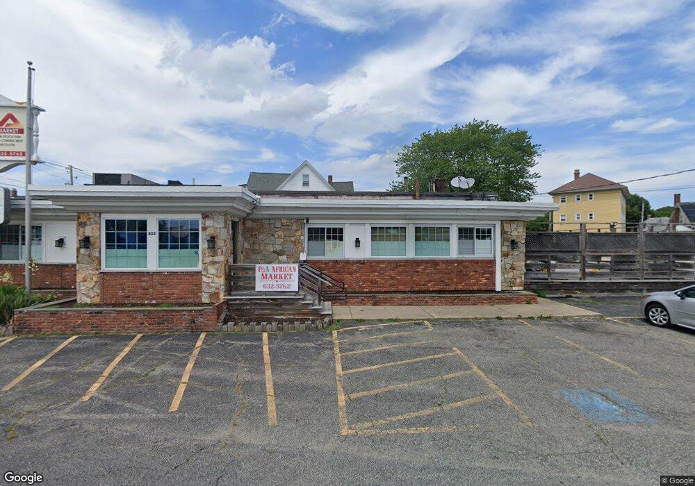
855 Newport Ave Pawtucket, RI 02861
Darlington Neighborhood
Studio
--
Bath
3,120
Sq Ft
17,293
Sq Ft Lot
About This Home
This home is located at 855 Newport Ave, Pawtucket, RI 02861. 855 Newport Ave is a home located in Providence County with nearby schools including St Cecilia School and Saint Teresa Catholic Elementary School.
Ownership History
Date
Name
Owned For
Owner Type
Purchase Details
Closed on
Dec 20, 2017
Sold by
Freedom National Bank
Bought by
Divine Grace Llc
Home Financials for this Owner
Home Financials are based on the most recent Mortgage that was taken out on this home.
Original Mortgage
$166,000
Outstanding Balance
$139,283
Interest Rate
3.9%
Mortgage Type
New Conventional
Purchase Details
Closed on
Jun 20, 2017
Sold by
Jm Hldg Co Llc
Bought by
Freedom National Bank
Purchase Details
Closed on
Jul 27, 2004
Sold by
Wetherbee John
Bought by
J M Holding Co Inc
Home Financials for this Owner
Home Financials are based on the most recent Mortgage that was taken out on this home.
Original Mortgage
$325,000
Interest Rate
6.28%
Mortgage Type
Commercial
Create a Home Valuation Report for This Property
The Home Valuation Report is an in-depth analysis detailing your home's value as well as a comparison with similar homes in the area
Home Values in the Area
Average Home Value in this Area
Purchase History
| Date | Buyer | Sale Price | Title Company |
|---|---|---|---|
| Divine Grace Llc | $332,000 | -- | |
| Freedom National Bank | $1,260,000 | -- | |
| J M Holding Co Inc | $275,006 | -- |
Source: Public Records
Mortgage History
| Date | Status | Borrower | Loan Amount |
|---|---|---|---|
| Open | Divine Grace Llc | $166,000 | |
| Previous Owner | J M Holding Co Inc | $1,260,000 | |
| Previous Owner | J M Holding Co Inc | $325,000 |
Source: Public Records
Tax History
| Year | Tax Paid | Tax Assessment Tax Assessment Total Assessment is a certain percentage of the fair market value that is determined by local assessors to be the total taxable value of land and additions on the property. | Land | Improvement |
|---|---|---|---|---|
| 2025 | $9,904 | $430,400 | $297,300 | $133,100 |
| 2024 | $9,297 | $430,400 | $297,300 | $133,100 |
| 2023 | $10,822 | $365,000 | $247,500 | $117,500 |
| 2022 | $10,592 | $365,000 | $247,500 | $117,500 |
| 2021 | $10,592 | $365,000 | $247,500 | $117,500 |
| 2020 | $13,226 | $383,700 | $247,500 | $136,200 |
| 2019 | $13,226 | $383,700 | $247,500 | $136,200 |
| 2018 | $12,743 | $383,700 | $247,500 | $136,200 |
| 2017 | $13,596 | $389,800 | $190,900 | $198,900 |
| 2016 | $13,101 | $389,800 | $190,900 | $198,900 |
Source: Public Records
Map
Nearby Homes
- 0 Whittier Rd
- 863 Newport Ave
- 852 Newport Ave
- 846 Newport Ave
- 872 Newport Ave
- 841 Newport Ave
- 875 Newport Ave
- 878 Newport Ave
- 879 Newport Ave
- 11 Crescent Rd
- 72 Littlefield St
- 66 Littlefield St
- 78 Littlefield St
- 20 Whittier Rd
- 516 Armistice Blvd
- 84 Littlefield St
- 15 Crescent Rd
- 56 Littlefield St
- 7 Crescent Rd
- 884 Newport Ave
Your Personal Tour Guide
Ask me questions while you tour the home.