855 Normandy Trace Rd Unit 6855 Tampa, FL 33602
Harbour Island NeighborhoodEstimated Value: $341,173 - $375,000
1
Bed
1
Bath
815
Sq Ft
$442/Sq Ft
Est. Value
About This Home
This home is located at 855 Normandy Trace Rd Unit 6855, Tampa, FL 33602 and is currently estimated at $360,043, approximately $441 per square foot. 855 Normandy Trace Rd Unit 6855 is a home located in Hillsborough County with nearby schools including Gorrie Elementary School, Wilson Middle School, and Plant High School.
Ownership History
Date
Name
Owned For
Owner Type
Purchase Details
Closed on
May 1, 2015
Sold by
Cox Austin B
Bought by
Mashburn Kenneth D and Mashburn Jacqueine M
Current Estimated Value
Purchase Details
Closed on
Jul 29, 2004
Sold by
Lake Joseph Gavin and Peterman Joel L
Bought by
Cox Austin B
Home Financials for this Owner
Home Financials are based on the most recent Mortgage that was taken out on this home.
Original Mortgage
$140,000
Interest Rate
5.25%
Mortgage Type
Unknown
Purchase Details
Closed on
May 31, 2002
Sold by
Harbour Place Dev Ltd
Bought by
Lake Joseph G and Peterman Joel L
Home Financials for this Owner
Home Financials are based on the most recent Mortgage that was taken out on this home.
Original Mortgage
$127,170
Interest Rate
6.92%
Mortgage Type
New Conventional
Create a Home Valuation Report for This Property
The Home Valuation Report is an in-depth analysis detailing your home's value as well as a comparison with similar homes in the area
Home Values in the Area
Average Home Value in this Area
Purchase History
| Date | Buyer | Sale Price | Title Company |
|---|---|---|---|
| Mashburn Kenneth D | $161,000 | Bayshore Title Ins Agency | |
| Cox Austin B | $175,000 | National Title Co | |
| Lake Joseph G | -- | -- |
Source: Public Records
Mortgage History
| Date | Status | Borrower | Loan Amount |
|---|---|---|---|
| Previous Owner | Cox Austin B | $140,000 | |
| Previous Owner | Lake Joseph G | $127,170 |
Source: Public Records
Tax History Compared to Growth
Tax History
| Year | Tax Paid | Tax Assessment Tax Assessment Total Assessment is a certain percentage of the fair market value that is determined by local assessors to be the total taxable value of land and additions on the property. | Land | Improvement |
|---|---|---|---|---|
| 2024 | $5,373 | $304,737 | $100 | $304,637 |
| 2023 | $5,034 | $297,483 | $100 | $297,383 |
| 2022 | $4,622 | $273,250 | $100 | $273,150 |
| 2021 | $4,058 | $207,171 | $100 | $207,071 |
| 2020 | $3,705 | $186,637 | $100 | $186,537 |
| 2019 | $3,662 | $184,702 | $100 | $184,602 |
| 2018 | $3,436 | $176,501 | $0 | $0 |
| 2017 | $3,188 | $153,662 | $0 | $0 |
| 2016 | $2,864 | $136,721 | $0 | $0 |
| 2015 | $2,324 | $119,789 | $0 | $0 |
| 2014 | $2,120 | $94,631 | $0 | $0 |
| 2013 | -- | $86,028 | $0 | $0 |
Source: Public Records
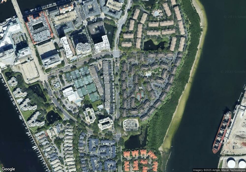
Map
Nearby Homes
- 820 Normandy Trace Rd Unit 820
- 501 Knights Run Ave Unit 5102
- 501 Knights Run Ave Unit 1317
- 501 Knights Run Ave Unit 2119
- 501 Knights Run Ave Unit 6104
- 501 Knights Run Ave Unit 1335
- 501 Knights Run Ave Unit 2106
- 501 Knights Run Ave Unit 1203
- 501 Knights Run Ave Unit 1215
- 611 Arbor Lake Ln
- 612 Arbor Lake Ln
- 775 Mainsail Dr Unit 775
- 773 Mainsail Dr
- 603 Fathom Ct
- 450 Knights Run Ave Unit 705
- 450 Knights Run Ave Unit 407
- 450 Knights Run Ave Unit 502
- 450 Knights Run Ave Unit 704
- 450 Knights Run Ave Unit 401
- 450 Knights Run Ave Unit 2004
- 863 Normandy Trace Rd Unit 6863
- 859 Normandy Trace Rd Unit 859
- 859 Normandy Trace Rd Unit 6859
- 861 Normandy Trace Rd Unit 6861
- 859 Normandy Trace Rd
- 853 Normandy Trace Rd Unit 853
- 853 Normandy Trace Rd Unit 6853
- 853 Normandy Trace Rd
- 851 Normandy Trace Rd Unit 6851
- 857 Normandy Trace Rd Unit 6857
- 857 Normandy Trace Rd Unit 857
- 849 Normandy Trace Rd Unit 6849
- 849 Normandy Trace Rd
- 849 Normandy Trace Rd Unit 849
- 867 Normandy Trace Rd
- 867 Normandy Trace Rd
- 867 Normandy Trace Rd Unit 867
- 869 Normandy Trace Rd
- 871 Normandy Trace Rd Unit 871
- 871 Normandy Trace Rd