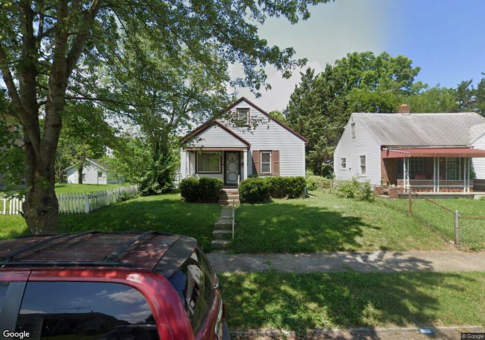
855 Osmond Ave Dayton, OH 45402
Westwood NeighborhoodEstimated Value: $61,000 - $106,000
3
Beds
1
Bath
1,075
Sq Ft
$75/Sq Ft
Est. Value
About This Home
This home is located at 855 Osmond Ave, Dayton, OH 45402 and is currently estimated at $80,171, approximately $74 per square foot. 855 Osmond Ave is a home located in Montgomery County with nearby schools including International School at Residence Park, Westwood Elementary, and Louise Troy Elementary.
Ownership History
Date
Name
Owned For
Owner Type
Purchase Details
Closed on
Jan 31, 2013
Sold by
Estell Sharon V
Bought by
Estell Sharon and Wells Vikki L
Current Estimated Value
Purchase Details
Closed on
Dec 13, 2001
Sold by
Estell Sharon V and Estell Dillard R
Bought by
Estell Dillard R and Estell Sharon
Purchase Details
Closed on
Mar 15, 2000
Sold by
Hubbard Sharon V and Hubbard Sharon V
Bought by
Estell Sharon and Estell Dillard R
Create a Home Valuation Report for This Property
The Home Valuation Report is an in-depth analysis detailing your home's value as well as a comparison with similar homes in the area
Home Values in the Area
Average Home Value in this Area
Purchase History
| Date | Buyer | Sale Price | Title Company |
|---|---|---|---|
| Estell Sharon | -- | None Available | |
| Estell Dillard R | -- | -- | |
| Estell Sharon | -- | -- |
Source: Public Records
Tax History Compared to Growth
Tax History
| Year | Tax Paid | Tax Assessment Tax Assessment Total Assessment is a certain percentage of the fair market value that is determined by local assessors to be the total taxable value of land and additions on the property. | Land | Improvement |
|---|---|---|---|---|
| 2024 | $402 | $16,010 | $1,970 | $14,040 |
| 2023 | $402 | $16,010 | $1,970 | $14,040 |
| 2022 | $394 | $13,930 | $1,720 | $12,210 |
| 2021 | $392 | $13,930 | $1,720 | $12,210 |
| 2020 | $392 | $13,930 | $1,720 | $12,210 |
| 2019 | $377 | $13,060 | $1,720 | $11,340 |
| 2018 | $378 | $13,060 | $1,720 | $11,340 |
| 2017 | $375 | $13,060 | $1,720 | $11,340 |
| 2016 | $399 | $13,140 | $1,720 | $11,420 |
| 2015 | $379 | $13,140 | $1,720 | $11,420 |
| 2014 | $379 | $13,140 | $1,720 | $11,420 |
| 2012 | -- | $14,380 | $2,800 | $11,580 |
Source: Public Records
Map
Nearby Homes
- 830 Bedford Ave
- 3602 Hoover Ave Unit 3600
- 733 Leland Ave
- 728 Leland Ave
- 532 Crestmore Ave
- 524 Crestmore Ave
- 936 Walton Ave
- 911 N Gettysburg Ave
- 4059 Kammer Ave
- 24 Edith St
- 548 Huron Ave
- 712 N Gettysburg Ave
- 4126 Kammer Ave
- 4126 Sylvan Dr
- 4157 Kammer Ave
- 314 N Upland Ave Unit 312
- 550 Brooklyn Ave
- 605 N Gettysburg Ave
- 222 N Decker Ave
- 320 Huron Ave
- 859 Osmond Ave
- 849 Osmond Ave
- 845 Osmond Ave
- 867 Osmond Ave
- 854 Clarkson Ave
- 850 Clarkson Ave
- 848 Clarkson Ave
- 868 Clarkson Ave
- 839 Osmond Ave
- 854 Osmond Ave
- 860 Osmond Ave
- 850 Osmond Ave
- 864 Osmond Ave
- 848 Osmond Ave
- 837 Osmond Ave
- 3719 Fairbanks Ave
- 868 Osmond Ave
- 844 Osmond Ave
- 840 Clarkson Ave
- 833 Osmond Ave