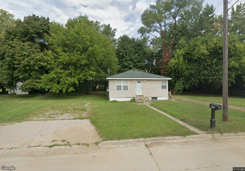
855 Pitkins Ave Benton Harbor, MI 49022
Estimated Value: $78,000 - $106,000
2
Beds
1
Bath
729
Sq Ft
$132/Sq Ft
Est. Value
About This Home
This home is located at 855 Pitkins Ave, Benton Harbor, MI 49022 and is currently estimated at $96,577, approximately $132 per square foot. 855 Pitkins Ave is a home located in Berrien County with nearby schools including Fair Plain Middle School, Benton Harbor High School, and Benton Harbor Charter School Academy.
Ownership History
Date
Name
Owned For
Owner Type
Purchase Details
Closed on
May 14, 2021
Sold by
Sams John C
Bought by
Jenkins Brian
Current Estimated Value
Purchase Details
Closed on
Jul 3, 2018
Sold by
Sanh John Clabom and Harbor Benton
Bought by
Sams John Claboun
Purchase Details
Closed on
Sep 6, 2017
Sold by
Witkowski Bret
Bought by
Sams John
Purchase Details
Closed on
Oct 17, 2005
Sold by
Taylor Bennie
Bought by
Taylor Cora Lee
Purchase Details
Closed on
Jun 6, 2001
Create a Home Valuation Report for This Property
The Home Valuation Report is an in-depth analysis detailing your home's value as well as a comparison with similar homes in the area
Home Values in the Area
Average Home Value in this Area
Purchase History
| Date | Buyer | Sale Price | Title Company |
|---|---|---|---|
| Jenkins Brian | -- | None Available | |
| Jenkins Brian | -- | None Listed On Document | |
| Sams John Claboun | -- | None Available | |
| Sams John | $8,500 | Attorney | |
| Taylor Cora Lee | $200 | -- | |
| -- | $500 | -- |
Source: Public Records
Tax History Compared to Growth
Tax History
| Year | Tax Paid | Tax Assessment Tax Assessment Total Assessment is a certain percentage of the fair market value that is determined by local assessors to be the total taxable value of land and additions on the property. | Land | Improvement |
|---|---|---|---|---|
| 2025 | $988 | $34,400 | $0 | $0 |
| 2024 | $934 | $30,100 | $0 | $0 |
| 2023 | $685 | $21,100 | $0 | $0 |
| 2022 | $654 | $15,500 | $0 | $0 |
| 2021 | $657 | $15,200 | $700 | $14,500 |
| 2020 | $649 | $11,400 | $0 | $0 |
| 2019 | $637 | $10,300 | $0 | $0 |
| 2018 | $1,422 | $9,900 | $0 | $0 |
| 2017 | $1,365 | $12,900 | $0 | $0 |
| 2016 | $555 | $13,000 | $0 | $0 |
| 2015 | $554 | $12,500 | $0 | $0 |
| 2014 | $523 | $15,200 | $0 | $0 |
Source: Public Records
Map
Nearby Homes
- 806 Pitkins Ave
- 419 Packard St
- 688 S Fair Ave
- 710 Buss Ave
- 0 V/L E Empire Ave
- 416 E Britain Ave
- 992 Highland Ave
- 696 Highland Ave
- 730 Superior St
- 137 Cornelia St
- 391 Pipestone St
- 960 Jennings Ave
- 378 Pipestone St
- 833 Pearl St
- 1069 E Main St
- 960 Union Ave
- 238 Pine St
- 363 Brunson Ave
- 349 E Empire Ave
- 1045 Broadway
- 861 Pitkins Ave
- 843 Pitkins Ave
- 869 Pitkins Ave
- 854 E Britain Ave
- 860 Pitkins Ave
- 828 Pitkins Ave
- 870 Pitkins Ave
- 854 Pitkins Ave
- 844 Pitkins Ave
- 846 E Britain Ave
- 834 E Britain Ave
- 834 E Britain Ave
- 878 Pitkins Ave
- 876 E Britain Ave
- 828 Pitkins Ave
- 540 S Fair Ave
- 884 E Britain Ave
- 812 E Britain Ave
- 812 Pitkins Ave
- 581 S Seeley St