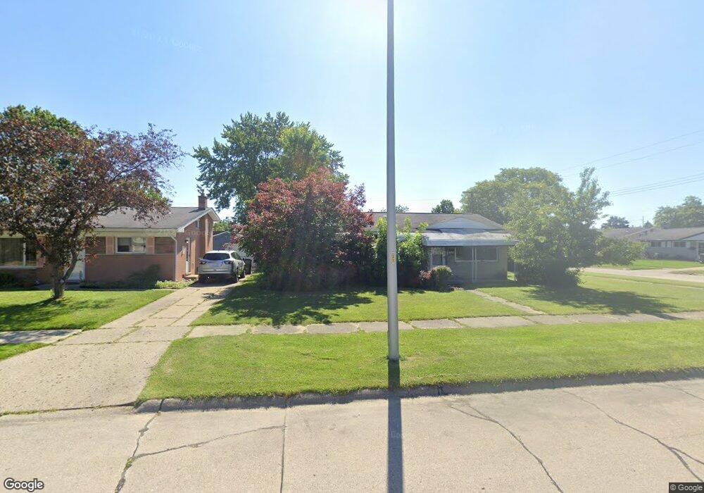
855 Rahn St Westland, MI 48186
Estimated Value: $184,000 - $194,000
--
Bed
1
Bath
958
Sq Ft
$195/Sq Ft
Est. Value
About This Home
This home is located at 855 Rahn St, Westland, MI 48186 and is currently estimated at $187,170, approximately $195 per square foot. 855 Rahn St is a home located in Wayne County with nearby schools including Alexander Hamilton Elementary School, Marshall Upper Elementary School, and John Glenn High School.
Ownership History
Date
Name
Owned For
Owner Type
Purchase Details
Closed on
Nov 17, 2018
Sold by
Doktor Michael J
Bought by
Doktor Michael J
Current Estimated Value
Home Financials for this Owner
Home Financials are based on the most recent Mortgage that was taken out on this home.
Original Mortgage
$33,435
Outstanding Balance
$29,399
Interest Rate
4.8%
Mortgage Type
FHA
Estimated Equity
$157,771
Purchase Details
Closed on
Nov 8, 2006
Sold by
Verhines Jamie C
Bought by
American Home Mortgage Servicing
Purchase Details
Closed on
Oct 26, 2004
Sold by
Homer Dawn S and Aitken Dawn S
Bought by
Verhines Jamie C
Purchase Details
Closed on
Jun 11, 1998
Sold by
Rebecc Patrick J Corby
Bought by
Aitken Cameron
Purchase Details
Closed on
May 24, 1995
Sold by
Jackie L Watson Est
Bought by
Patrick J Corby
Create a Home Valuation Report for This Property
The Home Valuation Report is an in-depth analysis detailing your home's value as well as a comparison with similar homes in the area
Home Values in the Area
Average Home Value in this Area
Purchase History
| Date | Buyer | Sale Price | Title Company |
|---|---|---|---|
| Doktor Michael J | -- | Carrington Title Services Ll | |
| American Home Mortgage Servicing | $97,404 | None Available | |
| Verhines Jamie C | $121,500 | H & H Title Inc | |
| Aitken Cameron | $101,500 | -- | |
| Patrick J Corby | $74,000 | -- |
Source: Public Records
Mortgage History
| Date | Status | Borrower | Loan Amount |
|---|---|---|---|
| Open | Doktor Michael J | $33,435 |
Source: Public Records
Tax History Compared to Growth
Tax History
| Year | Tax Paid | Tax Assessment Tax Assessment Total Assessment is a certain percentage of the fair market value that is determined by local assessors to be the total taxable value of land and additions on the property. | Land | Improvement |
|---|---|---|---|---|
| 2025 | $1,935 | $80,300 | $0 | $0 |
| 2024 | $1,935 | $76,700 | $0 | $0 |
| 2023 | $2,000 | $68,100 | $0 | $0 |
| 2022 | $2,714 | $59,900 | $0 | $0 |
| 2021 | $2,686 | $57,400 | $0 | $0 |
| 2020 | $2,129 | $52,100 | $0 | $0 |
| 2019 | $1,705 | $53,200 | $0 | $0 |
| 2018 | $1,686 | $45,200 | $0 | $0 |
| 2017 | $652 | $42,500 | $0 | $0 |
| 2016 | $1,655 | $42,300 | $0 | $0 |
| 2015 | $3,162 | $37,880 | $0 | $0 |
| 2013 | $3,063 | $31,870 | $0 | $0 |
| 2012 | $1,464 | $30,820 | $0 | $0 |
Source: Public Records
Map
Nearby Homes
- 1163 Denice St
- 32732 Glen St
- 754 Alvin St
- 32508 Avondale St
- 32411 Grandview Ave
- 535 S Hubbard St
- 0000 Barrington Ave
- 183 Daniel Ave Unit 6
- 00000 Cherry Hill Rd
- 32111 Birchwood Ave
- 711 S Hawthorne St
- 32154 Melton St
- 32025 Birchwood St
- 32155 Melton St
- 34114 Avondale St
- 33532 Leona St
- 32140 Palmer Rd
- 451 Darwin St
- 32116 Palmer Rd
- 2075 Alanson St