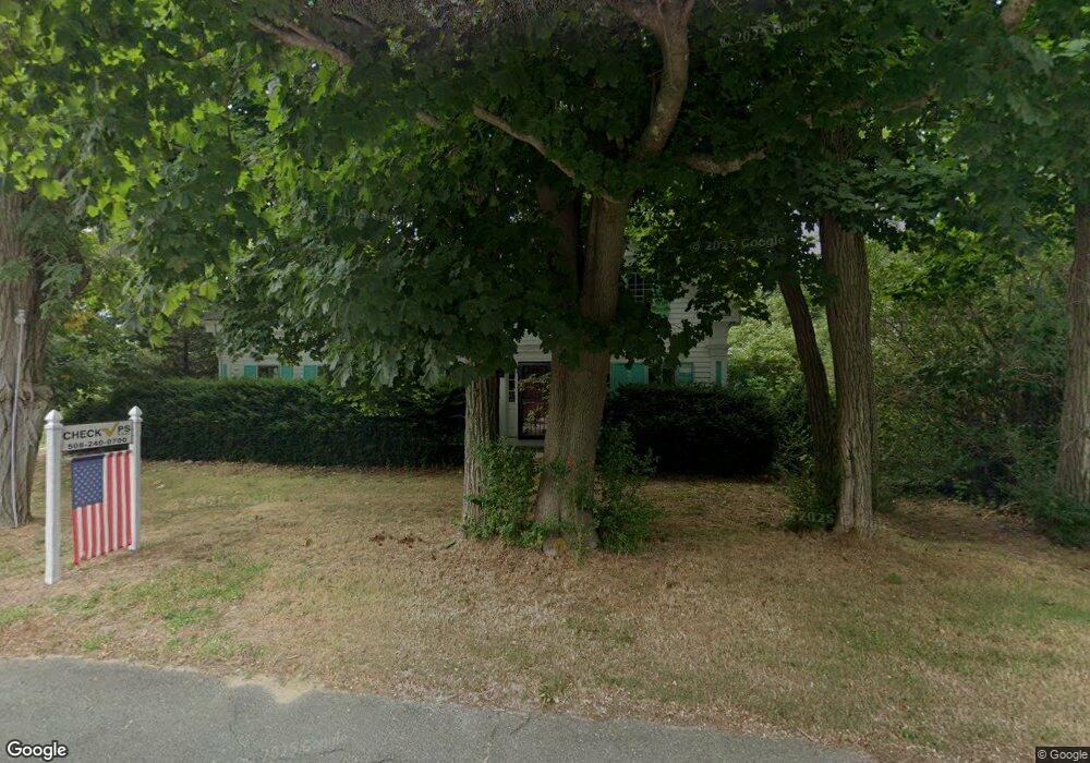
855 State Hwy Eastham, MA 02642
Estimated Value: $406,354
4
Beds
4
Baths
2,369
Sq Ft
$172/Sq Ft
Est. Value
About This Home
This home is located at 855 State Hwy, Eastham, MA 02642 and is currently priced at $406,354, approximately $171 per square foot. 855 State Hwy is a home located in Barnstable County with nearby schools including Eastham Elementary School, Nauset Regional Middle School, and Nauset Regional High School.
Ownership History
Date
Name
Owned For
Owner Type
Purchase Details
Closed on
Feb 10, 2004
Sold by
Paula J Sperry Nt and Sperry
Bought by
Sperry Paula J
Current Estimated Value
Purchase Details
Closed on
Nov 12, 1993
Sold by
Est Hamilton Walter M and Straiton Deane A
Bought by
Sperry Paula J
Home Financials for this Owner
Home Financials are based on the most recent Mortgage that was taken out on this home.
Original Mortgage
$97,350
Interest Rate
6.79%
Mortgage Type
Commercial
Create a Home Valuation Report for This Property
The Home Valuation Report is an in-depth analysis detailing your home's value as well as a comparison with similar homes in the area
Home Values in the Area
Average Home Value in this Area
Purchase History
| Date | Buyer | Sale Price | Title Company |
|---|---|---|---|
| Sperry Paula J | -- | -- | |
| Sperry Paula J | $97,850 | -- | |
| Sperry Paula J | $97,850 | -- |
Source: Public Records
Mortgage History
| Date | Status | Borrower | Loan Amount |
|---|---|---|---|
| Previous Owner | Sperry Paula J | $184,000 | |
| Previous Owner | Sperry Paula J | $97,350 |
Source: Public Records
Tax History
| Year | Tax Paid | Tax Assessment Tax Assessment Total Assessment is a certain percentage of the fair market value that is determined by local assessors to be the total taxable value of land and additions on the property. | Land | Improvement |
|---|---|---|---|---|
| 2025 | $4,594 | $595,800 | $175,000 | $420,800 |
| 2024 | $4,052 | $578,100 | $169,900 | $408,200 |
| 2023 | $3,725 | $514,500 | $157,300 | $357,200 |
| 2022 | $3,903 | $454,900 | $140,400 | $314,500 |
| 2021 | $1,897 | $414,400 | $127,700 | $286,700 |
| 2020 | $3,481 | $399,200 | $130,300 | $268,900 |
| 2019 | $1,891 | $398,000 | $126,500 | $271,500 |
| 2018 | $3,229 | $386,700 | $122,800 | $263,900 |
| 2017 | $2,996 | $379,300 | $120,400 | $258,900 |
| 2016 | $2,945 | $395,900 | $120,400 | $275,500 |
| 2015 | $2,741 | $386,000 | $118,000 | $268,000 |
Source: Public Records
Map
Nearby Homes
- 20 Kittiwake Ln
- 1061 State Hwy Unit 4
- 1061 State Hwy Unit 1061
- 25 Twin Rocks Dr
- 330 Hay Rd
- 320 State Hwy
- 55 Grandfathers Way
- 46 Freeman Ln
- 343 Tonset Rd
- 2 Reilly Run
- 3 Reilly Run
- 10 Cartway N
- 40 Bayview Rd
- 13 S Orleans Rd Unit 28
- 188 Rock Harbor Rd
- 181 Rock Harbor Rd
- 32 Locust Rd
- 339 Dyer Prince Rd
- 22 Karen Way
- 6 Penny Ln
- 3 Eastwind Dr
- 885 State 6
- 5 Perkins Glen
- 15 Cedar Ln
- 60 Cedar Ln
- 820 State Hwy
- 785 State Hwy Unit 16
- 785 State Hwy Unit 14
- 785 State Hwy Unit 13
- 785 State Hwy Unit 12
- 785 State Hwy Unit 11
- 785 State Hwy Unit 10
- 785 State Hwy Unit 9
- 785 State Hwy Unit 2
- 785 State Hwy Unit 1
- 785 State Hwy Unit MAIN
- 785 State Hwy Unit 7
- 785 State Hwy
- 785 State Hwy Unit 8
- 785 State Hwy Unit 5
Your Personal Tour Guide
Ask me questions while you tour the home.