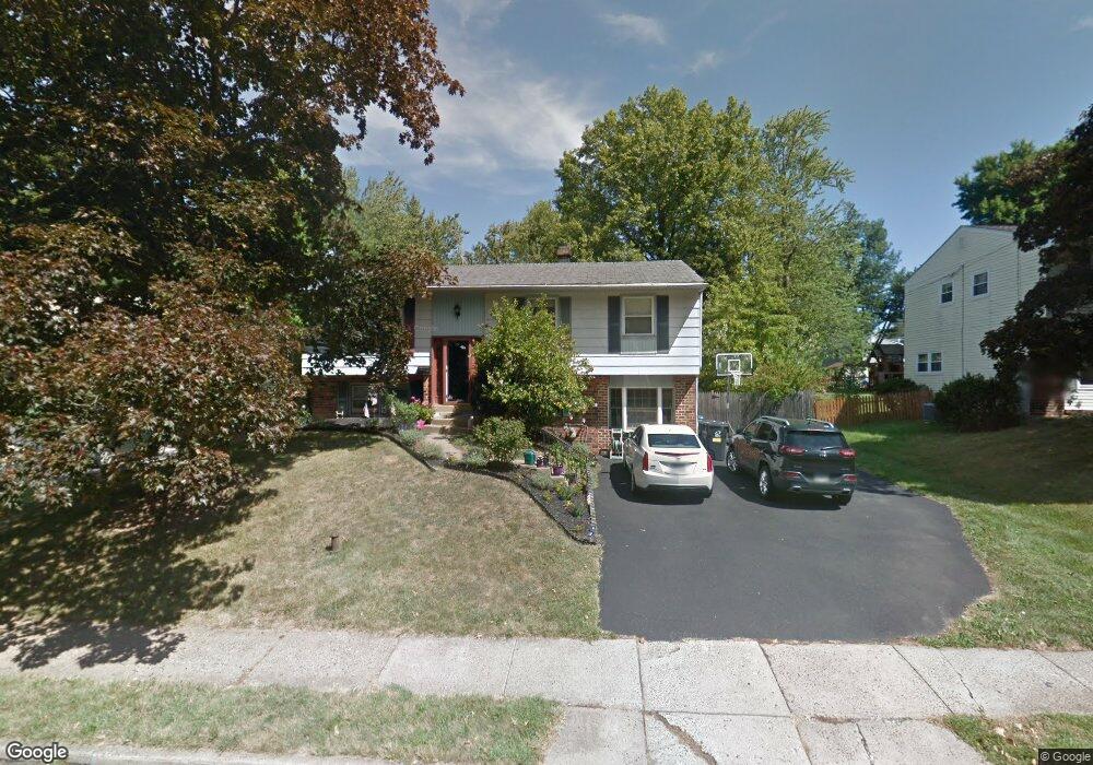
855 Yorktown St Lansdale, PA 19446
Estimated Value: $474,000 - $506,000
3
Beds
3
Baths
2,016
Sq Ft
$242/Sq Ft
Est. Value
About This Home
This home is located at 855 Yorktown St, Lansdale, PA 19446 and is currently estimated at $487,215, approximately $241 per square foot. 855 Yorktown St is a home located in Montgomery County with nearby schools including Knapp Elementary School, Penndale Middle School, and North Penn Senior High School.
Ownership History
Date
Name
Owned For
Owner Type
Purchase Details
Closed on
May 25, 2005
Sold by
Flowers Hugh J and Flowers Denise Pierce
Bought by
Flowers Hugh J and Flowers Denise Pierce
Current Estimated Value
Home Financials for this Owner
Home Financials are based on the most recent Mortgage that was taken out on this home.
Original Mortgage
$125,600
Interest Rate
5.79%
Mortgage Type
New Conventional
Create a Home Valuation Report for This Property
The Home Valuation Report is an in-depth analysis detailing your home's value as well as a comparison with similar homes in the area
Home Values in the Area
Average Home Value in this Area
Purchase History
| Date | Buyer | Sale Price | Title Company |
|---|---|---|---|
| Flowers Hugh J | -- | -- |
Source: Public Records
Mortgage History
| Date | Status | Borrower | Loan Amount |
|---|---|---|---|
| Closed | Flowers Hugh J | $125,600 |
Source: Public Records
Tax History Compared to Growth
Tax History
| Year | Tax Paid | Tax Assessment Tax Assessment Total Assessment is a certain percentage of the fair market value that is determined by local assessors to be the total taxable value of land and additions on the property. | Land | Improvement |
|---|---|---|---|---|
| 2025 | $5,611 | $133,370 | -- | -- |
| 2024 | $5,611 | $133,370 | -- | -- |
| 2023 | $5,248 | $133,370 | $0 | $0 |
| 2022 | $5,081 | $133,370 | $0 | $0 |
| 2021 | $4,874 | $133,370 | $0 | $0 |
| 2020 | $4,727 | $133,370 | $0 | $0 |
| 2019 | $4,649 | $133,370 | $0 | $0 |
| 2018 | $1,247 | $133,370 | $0 | $0 |
| 2017 | $4,340 | $133,370 | $0 | $0 |
| 2016 | $4,287 | $133,370 | $0 | $0 |
| 2015 | $3,979 | $133,370 | $0 | $0 |
| 2014 | $3,979 | $138,570 | $48,790 | $89,780 |
Source: Public Records
Map
Nearby Homes
- 825 Monticello Place
- 502 Williamsburg Rd
- 873 Lombardy Dr
- 964 Knapp Rd
- 3103 Hemmingway Dr
- 3406 Elizabeths Ct
- 1506 Naomis Ct
- 1101 Barbaras Ct
- 220 Hampton Green Dr
- 19 Wexford Dr
- 220 Pennbrook Ave
- 316 Pennbrook Ave
- 115 Castle Dr
- 37 Shannon Rd
- 323 Edgewood Ave
- 1114 W Thomas Rd
- 1014 Lansdale Ave
- 102 Gwynmont Dr
- 1103 Lansdale Ave
- 1107 Lansdale Ave
- 849 Yorktown St
- 861 Yorktown St
- 850 Monticello Place
- 843 Yorktown St
- 856 Monticello Place
- 867 Yorktown St
- 844 Monticello Place
- 862 Monticello Place
- 856 Yorktown St
- 850 Yorktown St
- 862 Yorktown St
- 837 Yorktown St
- 838 Monticello Place
- 873 Yorktown St
- 844 Yorktown St
- 868 Monticello Place
- 868 Yorktown St
- 838 Yorktown St
- 832 Monticello Place
- 831 Yorktown St