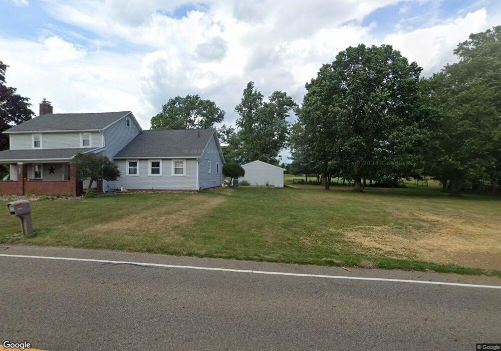
8555 Easton St Louisville, OH 44641
Estimated Value: $313,000 - $391,886
3
Beds
2
Baths
2,076
Sq Ft
$166/Sq Ft
Est. Value
About This Home
This home is located at 8555 Easton St, Louisville, OH 44641 and is currently estimated at $343,722, approximately $165 per square foot. 8555 Easton St is a home located in Stark County with nearby schools including Louisville High School and St. Thomas Aquinas High School & Middle School.
Ownership History
Date
Name
Owned For
Owner Type
Purchase Details
Closed on
Aug 11, 2006
Sold by
Conner William R and Conner Barbara A
Bought by
Scanlon Donald E and Windemuth Wendy Y
Current Estimated Value
Home Financials for this Owner
Home Financials are based on the most recent Mortgage that was taken out on this home.
Original Mortgage
$147,600
Outstanding Balance
$89,049
Interest Rate
6.85%
Mortgage Type
Purchase Money Mortgage
Estimated Equity
$254,673
Purchase Details
Closed on
Feb 27, 2003
Sold by
Brewer David S and Brewer Sandra K
Bought by
Conner William R
Home Financials for this Owner
Home Financials are based on the most recent Mortgage that was taken out on this home.
Original Mortgage
$125,600
Interest Rate
6.07%
Create a Home Valuation Report for This Property
The Home Valuation Report is an in-depth analysis detailing your home's value as well as a comparison with similar homes in the area
Home Values in the Area
Average Home Value in this Area
Purchase History
| Date | Buyer | Sale Price | Title Company |
|---|---|---|---|
| Scanlon Donald E | $184,500 | Monroe Title Agency | |
| Conner William R | $157,000 | -- |
Source: Public Records
Mortgage History
| Date | Status | Borrower | Loan Amount |
|---|---|---|---|
| Open | Scanlon Donald E | $147,600 | |
| Closed | Conner William R | $125,600 | |
| Closed | Conner William R | $15,700 |
Source: Public Records
Tax History Compared to Growth
Tax History
| Year | Tax Paid | Tax Assessment Tax Assessment Total Assessment is a certain percentage of the fair market value that is determined by local assessors to be the total taxable value of land and additions on the property. | Land | Improvement |
|---|---|---|---|---|
| 2025 | -- | $113,410 | $51,070 | $62,340 |
| 2024 | -- | $113,410 | $51,070 | $62,340 |
| 2023 | $3,744 | $76,380 | $31,050 | $45,330 |
| 2022 | $3,751 | $76,380 | $31,050 | $45,330 |
| 2021 | $3,712 | $76,380 | $31,050 | $45,330 |
| 2020 | $3,067 | $64,650 | $26,640 | $38,010 |
| 2019 | $3,082 | $63,710 | $26,640 | $37,070 |
| 2018 | $3,028 | $63,710 | $26,640 | $37,070 |
| 2017 | $2,822 | $56,680 | $22,970 | $33,710 |
| 2016 | $2,844 | $58,360 | $24,610 | $33,750 |
| 2015 | $2,852 | $58,360 | $24,610 | $33,750 |
| 2014 | $836 | $53,710 | $22,610 | $31,100 |
| 2013 | $1,422 | $53,710 | $22,610 | $31,100 |
Source: Public Records
Map
Nearby Homes
- 6052 N Nickelplate St
- 7844 Morningstar Dr
- 5495 Meese Rd NE
- 5474 Ravenna Ave
- 5765 Maplegrove St
- 316 E Reno Dr
- 910 Crosswyck Cir
- 1170 Winding Ridge Ave
- 3580 Brookridge Ave Lot 15
- 524 Glenbar St
- 0 Glenbar St
- 614 Reno Dr
- 428 Honeycrisp Dr NE
- 3047 Mcintosh Dr NE
- 432 Honeycrisp Dr NE
- 2962 Mcintosh Dr NE
- 2963 Mcintosh Dr NE
- 430 Honeycrisp Dr NE
- 2957 Mcintosh Dr NE
- 0 Brookridge Ave
- 6808 Schilling Ave
- 8605 Easton St
- 8635 Easton St
- 8635 Easton St
- 8666 Easton St
- 8436 Easton St
- 8711 Easton St
- 8710 Easton St
- 8669 Easton St
- 6700 Schilling Ave
- 8730 Easton St
- 8717 Easton St
- 8780 Easton St
- 0 Easton St NE
- 6650 Schilling Ave
- 8818 Easton St
- 6610 Schilling Ave
- 6575 Schilling Ave
- 6601 Schilling Ave
- 6535 Schilling Ave