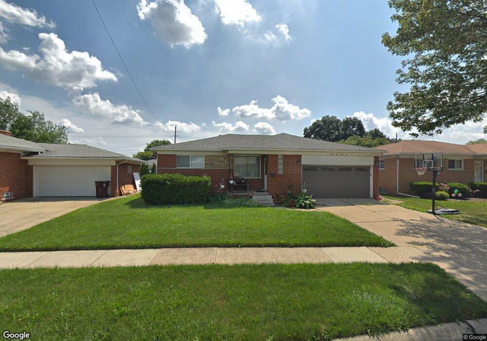
8556 Potomac Center Line, MI 48015
Estimated Value: $153,000 - $225,000
--
Bed
2
Baths
1,258
Sq Ft
$154/Sq Ft
Est. Value
About This Home
This home is located at 8556 Potomac, Center Line, MI 48015 and is currently estimated at $194,029, approximately $154 per square foot. 8556 Potomac is a home located in Macomb County with nearby schools including Crothers Elementary School, Wolfe Middle School, and Center Line High School.
Ownership History
Date
Name
Owned For
Owner Type
Purchase Details
Closed on
Jun 15, 2010
Sold by
Klein Marie
Bought by
Hornyak Robert and Hornyak Karen
Current Estimated Value
Home Financials for this Owner
Home Financials are based on the most recent Mortgage that was taken out on this home.
Original Mortgage
$40,000
Outstanding Balance
$26,663
Interest Rate
4.86%
Mortgage Type
Purchase Money Mortgage
Estimated Equity
$167,366
Purchase Details
Closed on
Feb 14, 2008
Sold by
Klein Marie and Dziuda Irene T
Bought by
Klein Marie and Stress Michelle
Create a Home Valuation Report for This Property
The Home Valuation Report is an in-depth analysis detailing your home's value as well as a comparison with similar homes in the area
Home Values in the Area
Average Home Value in this Area
Purchase History
| Date | Buyer | Sale Price | Title Company |
|---|---|---|---|
| Hornyak Robert | $45,000 | Philip R Seaver Title Co Inc | |
| Klein Marie | -- | None Available |
Source: Public Records
Mortgage History
| Date | Status | Borrower | Loan Amount |
|---|---|---|---|
| Open | Hornyak Robert | $40,000 |
Source: Public Records
Tax History Compared to Growth
Tax History
| Year | Tax Paid | Tax Assessment Tax Assessment Total Assessment is a certain percentage of the fair market value that is determined by local assessors to be the total taxable value of land and additions on the property. | Land | Improvement |
|---|---|---|---|---|
| 2025 | $2,431 | $93,400 | $0 | $0 |
| 2024 | $1,920 | $86,800 | $0 | $0 |
| 2023 | $1,852 | $78,600 | $0 | $0 |
| 2022 | $2,295 | $68,900 | $0 | $0 |
| 2021 | $2,388 | $63,500 | $0 | $0 |
| 2020 | $1,949 | $58,700 | $0 | $0 |
| 2019 | $2,280 | $52,000 | $0 | $0 |
| 2018 | $0 | $42,140 | $0 | $0 |
| 2017 | $2,319 | $37,730 | $6,820 | $30,910 |
| 2016 | $2,280 | $37,730 | $0 | $0 |
| 2015 | -- | $33,690 | $0 | $0 |
| 2011 | -- | $40,820 | $5,340 | $35,480 |
Source: Public Records
Map
Nearby Homes
- 8457 Potomac
- 26704 Potomac Ct
- 8386 Potomac
- 8434 Virginia Park
- 8150 Menge
- 8475 Stout Ave
- 27263 Arsenal Ave
- 27524 Gail Dr
- 27506 Lorraine Ave
- 11011 Garbor Dr
- 8330 Sunburst
- 27125 Gilbert Dr
- 11085 Busch Ave
- 8475 Farnum Ave
- 11175 Sunburst Ave
- 8586 Helen
- 8115 Busch
- 27116 Seyburn Ave
- 11455 E 11 Mile Rd
- 8210 Hettenberger Ave