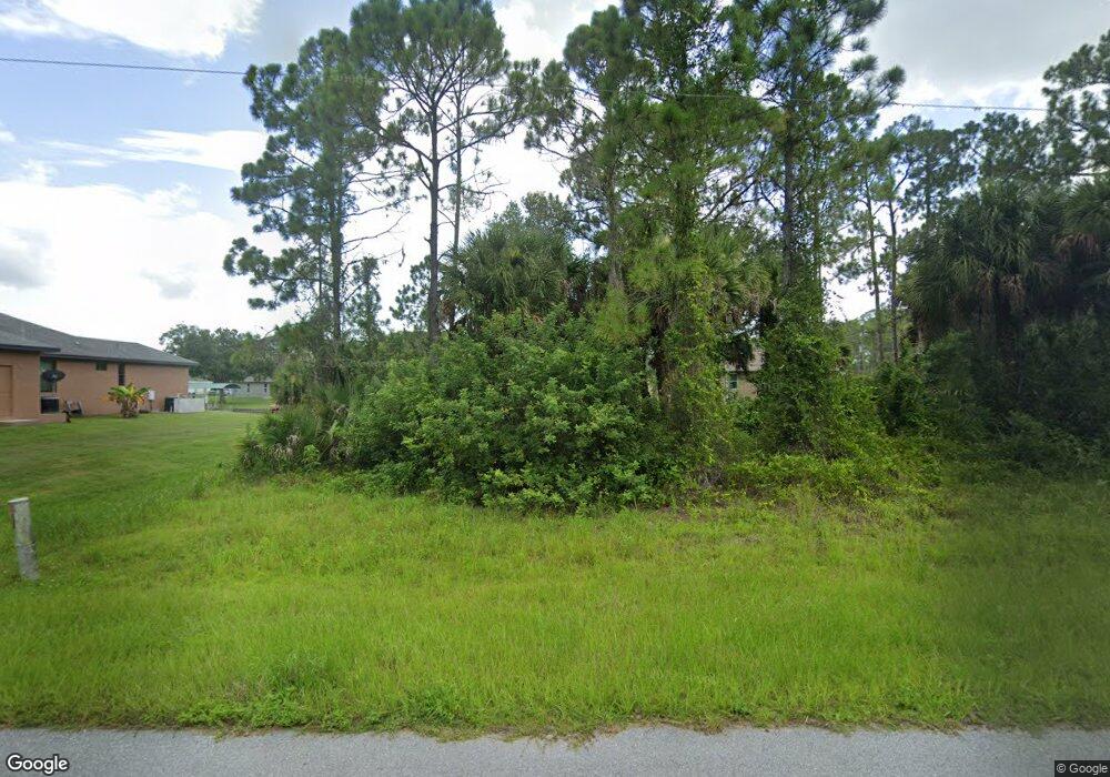
856 McDill Dr Port Charlotte, FL 33953
Northwest Port Charlotte NeighborhoodEstimated Value: $43,000 - $78,000
--
Bed
--
Bath
--
Sq Ft
10,019
Sq Ft Lot
About This Home
This home is located at 856 McDill Dr, Port Charlotte, FL 33953 and is currently estimated at $60,500. 856 McDill Dr is a home located in Charlotte County with nearby schools including Liberty Elementary School, Murdock Middle School, and Port Charlotte High School.
Ownership History
Date
Name
Owned For
Owner Type
Purchase Details
Closed on
Jan 18, 2023
Sold by
Logan Dean F and Logan Donna R
Bought by
Dean & Donna Logan Trust
Current Estimated Value
Purchase Details
Closed on
Apr 9, 2019
Sold by
Hedden Michelle and Diehl Greg
Bought by
Logan Dean and Logan Donna
Purchase Details
Closed on
Apr 20, 2016
Sold by
Sherman Roberta I
Bought by
Diehl Greg and Hedden Michelle
Purchase Details
Closed on
Feb 22, 2010
Sold by
Reiff Robert R and Reiff Judith A
Bought by
Sherman Roberta L
Create a Home Valuation Report for This Property
The Home Valuation Report is an in-depth analysis detailing your home's value as well as a comparison with similar homes in the area
Home Values in the Area
Average Home Value in this Area
Purchase History
| Date | Buyer | Sale Price | Title Company |
|---|---|---|---|
| Dean & Donna Logan Trust | $100 | -- | |
| Logan Dean | $42,000 | Stewart Title Company | |
| Diehl Greg | $25,000 | Stewart Title Co | |
| Sherman Roberta L | $18,800 | Florida Abstract & Security |
Source: Public Records
Tax History Compared to Growth
Tax History
| Year | Tax Paid | Tax Assessment Tax Assessment Total Assessment is a certain percentage of the fair market value that is determined by local assessors to be the total taxable value of land and additions on the property. | Land | Improvement |
|---|---|---|---|---|
| 2023 | $886 | $20,689 | $0 | $0 |
| 2022 | $826 | $34,166 | $34,166 | $0 |
| 2021 | $709 | $17,098 | $17,098 | $0 |
| 2020 | $682 | $15,899 | $15,899 | $0 |
| 2019 | $673 | $15,500 | $15,500 | $0 |
| 2018 | $634 | $13,824 | $13,824 | $0 |
| 2017 | $666 | $15,740 | $15,740 | $0 |
| 2016 | $647 | $14,446 | $0 | $0 |
| 2015 | $651 | $13,341 | $0 | $0 |
| 2014 | $539 | $12,128 | $0 | $0 |
Source: Public Records
Map
Nearby Homes
- 12196 Kraft Ave
- 12042 Kraft Ave
- 12090 Kraft Ave
- 12147 Kraft Ave
- 12107 Judson Ave
- 12048 Judson Ave
- 12241 Judson Ave
- 12189 Judson Ave
- 12040 Judson Ave
- 12133 Judson Ave
- 12073 Judson Ave
- 12065 Judson Ave
- 1100 March Dr
- 1108 March Dr
- 12152 Judson Ave
- 1114 March Dr
- 12160 Judson Ave
- 12259 Cassino Ave
- 12095 Cassino Ave
- 427 Hanscom St
- 848 McDill Dr
- 864 & 856 McDill Dr
- 12107 Kraft Ave
- 12095 Kraft Ave
- 840 McDill Dr
- 12122 Kraft Ave
- 12139 Kraft Ave
- 12189 Kraft Ave
- 12212 Kraft Ave
- 12213 Kraft Ave
- 12188 Kraft Ave
- 12204 Kraft Ave
- 1054 General St
- 12081 Kraft Ave
- 1062 General St
- 824 McDill Dr
- 12140 Federal Ave
- 1078 General St
- 12140 & 12 Kraft Ave
- 12140 & 12148 Kraft Ave