856 Shade Tree Ln Maple Park, IL 60151
Estimated Value: $350,804 - $404,000
Studio
--
Bath
1,428
Sq Ft
$269/Sq Ft
Est. Value
About This Home
This home is located at 856 Shade Tree Ln, Maple Park, IL 60151 and is currently estimated at $383,951, approximately $268 per square foot. 856 Shade Tree Ln is a home with nearby schools including Kaneland John Stewart Elementary School, Harter Middle School, and Kaneland High School.
Ownership History
Date
Name
Owned For
Owner Type
Purchase Details
Closed on
Sep 19, 2022
Sold by
Camaioni Joseph
Bought by
Camaioni Joseph and Konyaole Denise
Current Estimated Value
Purchase Details
Closed on
Jul 27, 2001
Sold by
Johnson Gordon L and Johnson Kathleen M
Bought by
Camaioni Joseph and Camaioni Emily E
Home Financials for this Owner
Home Financials are based on the most recent Mortgage that was taken out on this home.
Original Mortgage
$174,000
Interest Rate
7.16%
Create a Home Valuation Report for This Property
The Home Valuation Report is an in-depth analysis detailing your home's value as well as a comparison with similar homes in the area
Home Values in the Area
Average Home Value in this Area
Purchase History
| Date | Buyer | Sale Price | Title Company |
|---|---|---|---|
| Camaioni Joseph | -- | None Listed On Document | |
| Camaioni Joseph | $217,500 | Chicago Title Insurance Co |
Source: Public Records
Mortgage History
| Date | Status | Borrower | Loan Amount |
|---|---|---|---|
| Previous Owner | Camaioni Joseph | $174,000 |
Source: Public Records
Tax History
| Year | Tax Paid | Tax Assessment Tax Assessment Total Assessment is a certain percentage of the fair market value that is determined by local assessors to be the total taxable value of land and additions on the property. | Land | Improvement |
|---|---|---|---|---|
| 2024 | $6,560 | $114,485 | $32,664 | $81,821 |
| 2023 | $7,030 | $106,656 | $30,430 | $76,226 |
| 2022 | $7,661 | $97,796 | $27,902 | $69,894 |
| 2021 | $7,403 | $93,719 | $26,739 | $66,980 |
| 2020 | $7,195 | $90,488 | $25,817 | $64,671 |
| 2019 | $7,022 | $86,874 | $24,786 | $62,088 |
| 2018 | $6,511 | $79,185 | $22,592 | $56,593 |
| 2017 | $6,007 | $72,441 | $20,668 | $51,773 |
| 2016 | $5,541 | $65,988 | $18,827 | $47,161 |
| 2015 | -- | $61,614 | $17,579 | $44,035 |
| 2014 | -- | $61,614 | $17,579 | $44,035 |
| 2013 | -- | $66,437 | $18,955 | $47,482 |
Source: Public Records
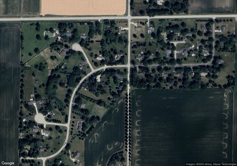
Map
Nearby Homes
- 48W201 Keslinger Rd
- 429 E Dekalb Dr
- 688 S Elizabeth St Unit 688
- 205 Center St
- 328 W Chester Dr
- 247 W Dekalb Dr
- 756 W Ashton Dr
- 646 W Ashton Dr
- 752 W Ashton Dr
- 754 W Ashton Dr
- Starling Plan at Heritage Hill Estates
- Wren Plan at Heritage Hill Estates
- Townsend Plan at Heritage Hill Estates
- Meadowlark Plan at Heritage Hill Estates
- Siena II Plan at Heritage Hill Estates
- 00 Rt 38 Rd
- 425 Cambridge Ave
- 540 Parkside Dr
- 000 Winters Rd
- 410 W Reader St
- 853 Country Life Dr
- 48W223 Country Life Dr
- 0N890 Country Life Dr
- 888 N Countrylife Dr
- 48W195 Country Life Dr
- 48W216 Country Life Dr
- 0N900 Probst Ct
- n 805 Country Life Dr
- N805 Country Life Dr
- 0N805 Country Life Dr
- 48W200 Country Life Dr
- 48W165 Country Life Dr
- 0N972 Shade Tree Ln
- 832 N Countrylife Dr
- 48W291 Keslinger Rd
- 48W229 Keslinger Rd
- 48W323 Keslinger Rd
- 0N922 Country Life Ct
- 0N953 Probst Ct
- 48W131 Country Life Dr
Your Personal Tour Guide
Ask me questions while you tour the home.