856 SW State Route 13 Leeton, MO 64761
Estimated Value: $270,000 - $438,000
--
Bed
--
Bath
1,572
Sq Ft
$225/Sq Ft
Est. Value
About This Home
This home is located at 856 SW State Route 13, Leeton, MO 64761 and is currently estimated at $354,000, approximately $225 per square foot. 856 SW State Route 13 is a home located in Johnson County with nearby schools including Leeton Elementary School, Leeton Middle School, and Leeton High School.
Ownership History
Date
Name
Owned For
Owner Type
Purchase Details
Closed on
Sep 19, 2025
Sold by
Schooley Michelle L and Schooley Phillip R
Bought by
Phenix Steven
Current Estimated Value
Purchase Details
Closed on
Jun 10, 2022
Sold by
Stone Iii Edwin B and Stone Angelique M
Bought by
Rankin Richard and Rankin Sheila
Purchase Details
Closed on
Jun 16, 2008
Sold by
Mcclure Robert D
Bought by
Stone Edwin B and Stone Angelique M
Home Financials for this Owner
Home Financials are based on the most recent Mortgage that was taken out on this home.
Original Mortgage
$138,902
Interest Rate
6.07%
Mortgage Type
FHA
Create a Home Valuation Report for This Property
The Home Valuation Report is an in-depth analysis detailing your home's value as well as a comparison with similar homes in the area
Home Values in the Area
Average Home Value in this Area
Purchase History
| Date | Buyer | Sale Price | Title Company |
|---|---|---|---|
| Phenix Steven | -- | Alliance Nationwide Title | |
| Rankin Richard | -- | Western Missouri Title | |
| Stone Edwin B | -- | -- |
Source: Public Records
Mortgage History
| Date | Status | Borrower | Loan Amount |
|---|---|---|---|
| Previous Owner | Stone Edwin B | $138,902 |
Source: Public Records
Tax History Compared to Growth
Tax History
| Year | Tax Paid | Tax Assessment Tax Assessment Total Assessment is a certain percentage of the fair market value that is determined by local assessors to be the total taxable value of land and additions on the property. | Land | Improvement |
|---|---|---|---|---|
| 2024 | $814 | $11,125 | $0 | $0 |
| 2023 | $767 | $11,125 | $0 | $0 |
| 2022 | $739 | $10,703 | $0 | $0 |
| 2021 | $737 | $10,703 | $0 | $0 |
| 2020 | $725 | $10,470 | $0 | $0 |
| 2019 | $724 | $10,470 | $0 | $0 |
| 2017 | $676 | $10,478 | $0 | $0 |
| 2016 | $663 | $10,358 | $0 | $0 |
| 2015 | $722 | $10,358 | $0 | $0 |
| 2014 | -- | $10,628 | $0 | $0 |
Source: Public Records
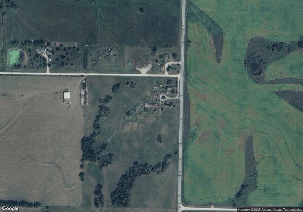
Map
Nearby Homes
- 938 SW 13 Hwy
- TBD SE Hwy Pp N A
- 161 SW 11th Rd
- 711 SE 251st Rd
- 169 SW 800th Rd
- 25 SW 600th Rd
- 363 SE Pp Hwy
- 871 SW 301st Rd
- TBD SW 101st Rd
- 504 N Lee St
- 117 S Main St
- 422 S Graham St
- 1246 Missouri 13
- 1244 SW 101st Rd
- 710 SE State Highway Pp
- 1287 SE State Route 13 N A
- 1287 SE State Route 13
- 1091 SE 13 Hwy
- 7 SW 400th Rd
- 26 SW 365th Rd
- 9 SW 850th Rd
- 11 SW 850th Rd
- 13 SW 850th Rd
- 844 SW State Route 13
- 845 SE State Route 13
- 53 SE 860 Rd
- 874 SW State Route 13
- 53 SE 860th Rd
- 73 SE 860th Rd
- 865 SW 21st Rd
- 889 SW State Route 13
- 825 SE Highway Ee
- 971 SE State Route 13
- 975 SE State Route 13
- 5 SW 910th Rd
- 60 SE 900th Rd
- 810 SW 13 Hwy
- 4 SW 910th Rd
- 916 SW State Route 13
- 900 SW 21st Rd