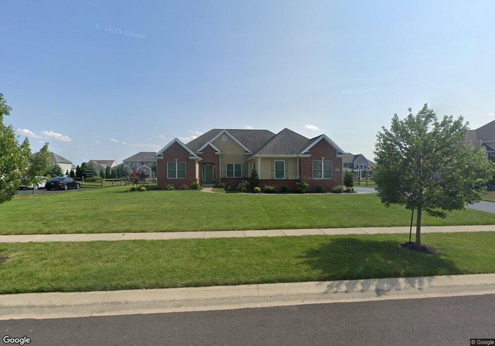
8561 Snapdragon Ln Monclova, OH 43542
Estimated Value: $477,000 - $597,000
3
Beds
4
Baths
2,530
Sq Ft
$208/Sq Ft
Est. Value
About This Home
This home is located at 8561 Snapdragon Ln, Monclova, OH 43542 and is currently estimated at $526,238, approximately $207 per square foot. 8561 Snapdragon Ln is a home located in Lucas County with nearby schools including Anthony Wayne High School, Lial Catholic School, and Monclova Christian Academy.
Ownership History
Date
Name
Owned For
Owner Type
Purchase Details
Closed on
Jan 15, 2013
Sold by
Louisville Title Agency For Nw Ohio Inc
Bought by
Dilorenzo Nicholas W and Dilorenzo Erin S
Current Estimated Value
Home Financials for this Owner
Home Financials are based on the most recent Mortgage that was taken out on this home.
Original Mortgage
$250,000
Outstanding Balance
$173,337
Interest Rate
3.31%
Mortgage Type
Future Advance Clause Open End Mortgage
Estimated Equity
$352,901
Purchase Details
Closed on
Feb 23, 2009
Sold by
Louisville Title Agency For Nw Ohio Inc
Bought by
Doyle Joshua A and Doyle Amy L
Home Financials for this Owner
Home Financials are based on the most recent Mortgage that was taken out on this home.
Original Mortgage
$150,000
Interest Rate
5.06%
Mortgage Type
Purchase Money Mortgage
Create a Home Valuation Report for This Property
The Home Valuation Report is an in-depth analysis detailing your home's value as well as a comparison with similar homes in the area
Home Values in the Area
Average Home Value in this Area
Purchase History
| Date | Buyer | Sale Price | Title Company |
|---|---|---|---|
| Dilorenzo Nicholas W | $315,000 | None Available | |
| Doyle Joshua A | $50,700 | Louisville Title Agency For |
Source: Public Records
Mortgage History
| Date | Status | Borrower | Loan Amount |
|---|---|---|---|
| Open | Dilorenzo Nicholas W | $250,000 | |
| Previous Owner | Doyle Joshua A | $150,000 |
Source: Public Records
Tax History Compared to Growth
Tax History
| Year | Tax Paid | Tax Assessment Tax Assessment Total Assessment is a certain percentage of the fair market value that is determined by local assessors to be the total taxable value of land and additions on the property. | Land | Improvement |
|---|---|---|---|---|
| 2024 | $3,589 | $137,725 | $18,970 | $118,755 |
| 2023 | $6,259 | $105,805 | $16,765 | $89,040 |
| 2022 | $6,220 | $105,805 | $16,765 | $89,040 |
| 2021 | $6,174 | $105,805 | $16,765 | $89,040 |
| 2020 | $6,176 | $95,340 | $14,875 | $80,465 |
| 2019 | $6,053 | $95,340 | $14,875 | $80,465 |
| 2018 | $5,585 | $95,340 | $14,875 | $80,465 |
| 2017 | $5,467 | $80,850 | $12,530 | $68,320 |
| 2016 | $5,416 | $231,000 | $35,800 | $195,200 |
| 2015 | $5,142 | $231,000 | $35,800 | $195,200 |
| 2014 | $4,852 | $78,510 | $12,180 | $66,330 |
| 2013 | $4,852 | $78,510 | $12,180 | $66,330 |
Source: Public Records
Map
Nearby Homes
- 5821 Sweetgum Dr
- 8470 Alyssa Way
- 8342 Kacie Ln
- 8520 Hocking Cove
- 5801 Hamptons Dr
- 8453 Misty Gorge Rd
- 5731 Hamptons Dr
- 8251 Stitt Rd
- 8447 Misty Gorge Rd
- 8763 Layla Ln
- 8773 Layla Ln
- 8025 Stitt Rd
- 1355 Roberts Cir
- 5925 Waterville Monclova Rd
- 8346 Dutch Rd
- 1924 Caleb Ct
- 9412 Newbury Ln
- 1800 Caleb Ct
- 9425 Newbury Ln
- 6250 Pimlico Rd
- 8549 Snapdragon Ln
- 8613 Snapdragon Ln
- 8602 Kacie Ln
- 8554 Kacie Ln
- 8614 Kacie Ln
- 8562 Snapdragon Ln
- 8537 Snapdragon Ln
- 8625 Snapdragon Ln
- 8550 Snapdragon Ln
- 8542 Kacie Ln
- 8624 Snapdragon Ln
- 8626 Kacie Ln
- 8538 Snapdragon Ln
- 8637 Snapdragon Ln
- 8525 Snapdragon Ln
- 8636 Snapdragon Ln
- 8530 Kacie Ln
- 8601 Kacie Ln
- 5850 Thornberry Ln
- 8553 Kacie Ln