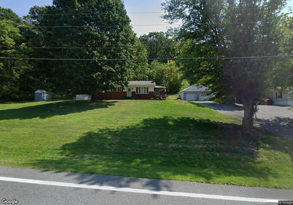
8562 Tomstown Rd Waynesboro, PA 17268
Estimated Value: $97,780 - $335,000
--
Bed
--
Bath
1,016
Sq Ft
$245/Sq Ft
Est. Value
About This Home
This home is located at 8562 Tomstown Rd, Waynesboro, PA 17268 and is currently estimated at $248,445, approximately $244 per square foot. 8562 Tomstown Rd is a home located in Franklin County with nearby schools including Waynesboro Area Senior High School.
Ownership History
Date
Name
Owned For
Owner Type
Purchase Details
Closed on
Mar 14, 2024
Sold by
Martin Jody A
Bought by
Martin Jody A and Martin Pamela S
Current Estimated Value
Purchase Details
Closed on
Dec 8, 2016
Sold by
Martin Scott E
Bought by
Martin Jody A
Home Financials for this Owner
Home Financials are based on the most recent Mortgage that was taken out on this home.
Original Mortgage
$71,000
Interest Rate
3.54%
Mortgage Type
Seller Take Back
Create a Home Valuation Report for This Property
The Home Valuation Report is an in-depth analysis detailing your home's value as well as a comparison with similar homes in the area
Home Values in the Area
Average Home Value in this Area
Purchase History
| Date | Buyer | Sale Price | Title Company |
|---|---|---|---|
| Martin Jody A | -- | None Listed On Document | |
| Martin Jody A | -- | None Available |
Source: Public Records
Mortgage History
| Date | Status | Borrower | Loan Amount |
|---|---|---|---|
| Previous Owner | Martin Jody A | $71,000 |
Source: Public Records
Tax History Compared to Growth
Tax History
| Year | Tax Paid | Tax Assessment Tax Assessment Total Assessment is a certain percentage of the fair market value that is determined by local assessors to be the total taxable value of land and additions on the property. | Land | Improvement |
|---|---|---|---|---|
| 2025 | $4,107 | $28,150 | $1,250 | $26,900 |
| 2024 | $3,808 | $26,930 | $1,250 | $25,680 |
| 2023 | $3,703 | $26,930 | $1,250 | $25,680 |
| 2022 | $3,596 | $26,930 | $1,250 | $25,680 |
| 2021 | $3,488 | $26,930 | $1,250 | $25,680 |
| 2020 | $3,488 | $26,930 | $1,250 | $25,680 |
| 2019 | $3,407 | $26,930 | $1,250 | $25,680 |
| 2018 | $3,293 | $26,930 | $1,250 | $25,680 |
| 2017 | $3,219 | $26,930 | $1,250 | $25,680 |
| 2016 | $720 | $25,130 | $1,250 | $23,880 |
| 2015 | $671 | $25,130 | $1,250 | $23,880 |
| 2014 | $671 | $25,130 | $1,250 | $23,880 |
Source: Public Records
Map
Nearby Homes
- 8620 Monns Gap Rd
- 8652 Mormon Church Rd
- 7468 Anthony Hwy
- 6159 Orphanage Rd
- 5434 Manheim Rd
- 207 University Dr
- 111 Poplar St
- 286 Verdier St
- 0 Unit PAFL2024598
- 0 Unit PAFL2024596
- 0 Unit PAFL2024594
- 0 Unit PAFL2024618
- 0 Unit PAFL2024616
- 0 Unit PAFL2024592
- 0 Unit PAFL2024590
- 0 Juliet Plan at Hickory Pointe Unit PAFL2029240
- Beacon Pointe Plan at Hickory Pointe
- Juliet Plan at Hickory Pointe
- Revere Plan at Hickory Pointe
- Copper Beech Plan at Hickory Pointe
- 8650 Tomstown Rd
- 8669 Tomstown Rd
- 8564 Tomstown Rd
- 8686 Tomstown Rd
- 8687 Tomstown Rd
- 8687 Tomstown Rd
- 8694 Tomstown Rd
- 8560 Tomstown Rd
- 8711 Tomstown Rd
- 8552 Tomstown Rd
- 8540 Tomstown Rd
- 8540 Tomstown Rd
- 8754 Tomstown Rd
- 8737 Tomstown Rd
- 8518 Fox Hill Rd
- 8775 Tomstown Rd
- 8521 Fox Hill Rd
- 8800 Tomstown Rd
- 8515 Fox Hill Rd
- 8495 Tomstown Rd