8562 Wind Sail Ct NE Leland, NC 28451
Estimated Value: $682,482 - $860,000
4
Beds
4
Baths
2,460
Sq Ft
$304/Sq Ft
Est. Value
About This Home
This home is located at 8562 Wind Sail Ct NE, Leland, NC 28451 and is currently estimated at $748,871, approximately $304 per square foot. 8562 Wind Sail Ct NE is a home with nearby schools including Lincoln Elementary School, Leland Middle School, and North Brunswick High School.
Ownership History
Date
Name
Owned For
Owner Type
Purchase Details
Closed on
May 29, 2025
Sold by
Mcmanus Steven G and Mcmanus Maryann R
Bought by
Steven G Mcmanus And Maryann R Mcmanus Revoca and Mcmanus
Current Estimated Value
Purchase Details
Closed on
Jan 23, 2017
Sold by
Cp Brunswick Llc
Bought by
Mcmanus Steven G and Mcmanus Maryann R
Home Financials for this Owner
Home Financials are based on the most recent Mortgage that was taken out on this home.
Original Mortgage
$325,001
Interest Rate
3.5%
Mortgage Type
Construction
Create a Home Valuation Report for This Property
The Home Valuation Report is an in-depth analysis detailing your home's value as well as a comparison with similar homes in the area
Home Values in the Area
Average Home Value in this Area
Purchase History
| Date | Buyer | Sale Price | Title Company |
|---|---|---|---|
| Steven G Mcmanus And Maryann R Mcmanus Revoca | -- | None Listed On Document | |
| Mcmanus Steven G | $105,000 | None Available |
Source: Public Records
Mortgage History
| Date | Status | Borrower | Loan Amount |
|---|---|---|---|
| Previous Owner | Mcmanus Steven G | $325,001 |
Source: Public Records
Tax History Compared to Growth
Tax History
| Year | Tax Paid | Tax Assessment Tax Assessment Total Assessment is a certain percentage of the fair market value that is determined by local assessors to be the total taxable value of land and additions on the property. | Land | Improvement |
|---|---|---|---|---|
| 2025 | $2,246 | $548,220 | $140,000 | $408,220 |
| 2024 | $2,246 | $548,220 | $140,000 | $408,220 |
| 2023 | $2,424 | $548,220 | $140,000 | $408,220 |
| 2022 | $2,424 | $427,710 | $115,500 | $312,210 |
| 2021 | $2,424 | $427,710 | $115,500 | $312,210 |
| 2020 | $2,424 | $427,710 | $115,500 | $312,210 |
| 2019 | $2,387 | $118,360 | $115,500 | $2,860 |
| 2018 | $2,222 | $103,050 | $100,000 | $3,050 |
| 2017 | $498 | $100,000 | $100,000 | $0 |
Source: Public Records
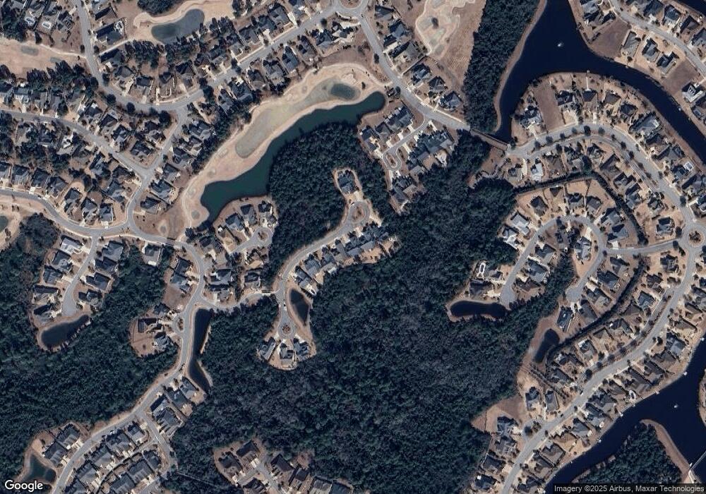
Map
Nearby Homes
- 2289 Compass Pointe South Wynd
- 8586 Oak Abbey Trail NE
- 8462 Forest Crest Ct
- 8448 Forest Crest Ct
- 8560 Oak Abbey Trail NE
- 2314 Red Birch Trail NE
- 8476 Compass Pointe East Wynd NE
- 2328 Sugargrove Trail NE
- 2255 Tansy Ct
- 8269 Crest Top Ct NE
- 2438 W Oak Bridge Way NE
- 8416 Forest Crest Ct
- 8313 Compass Pointe East Wynd NE
- 2347 Sugargrove Trail NE
- 8257 Egret Pointe Dr
- 2484 Meridian Rd NE
- 8241 Egret Pointe Dr
- 2318 Pine Mill Trail NE
- 2369 Red Birch Trail NE
- 8388 S Shoreside Way NE
- 8566 Wind Sail Ct NE
- 8558 Wind Sail Ct NE
- 8570 Wind Sail Ct NE
- 8554 Wind Sail Ct NE
- 8550 Wind Sail Ct NE
- 8569 Wind Sail Ct NE
- 8546 Wind Sail Ct NE
- 2261 Cross Pointe Ct NE
- 2257 Cross Pointe Ct NE
- 2352 Soundside Ct NE
- 2361 Soundside Ct NE
- 2253 Cross Pointe Ct NE
- 2358 Reef Ln NE
- 2356 Soundside Ct NE
- 2356 Soundside Ct NE
- 8534 Wind Sail Ct NE
- 2249 Cross Pointe Ct NE
- 2254 Cross Pointe Ct NE
- 2360 Soundside Ct NE
- 2360 Soundside Ct NE