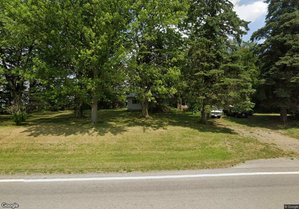
8564 State Route 613 Mc Comb, OH 45858
McComb NeighborhoodEstimated Value: $117,000 - $168,000
3
Beds
1
Bath
1,172
Sq Ft
$118/Sq Ft
Est. Value
About This Home
This home is located at 8564 State Route 613, Mc Comb, OH 45858 and is currently estimated at $138,185, approximately $117 per square foot. 8564 State Route 613 is a home located in Hancock County with nearby schools including Van Buren Elementary School, Van Buren Middle School, and Van Buren High School.
Ownership History
Date
Name
Owned For
Owner Type
Purchase Details
Closed on
Sep 18, 2001
Sold by
Letso Stephen
Bought by
Roether Michael E
Current Estimated Value
Home Financials for this Owner
Home Financials are based on the most recent Mortgage that was taken out on this home.
Original Mortgage
$42,760
Outstanding Balance
$17,895
Interest Rate
8%
Mortgage Type
New Conventional
Estimated Equity
$120,290
Create a Home Valuation Report for This Property
The Home Valuation Report is an in-depth analysis detailing your home's value as well as a comparison with similar homes in the area
Home Values in the Area
Average Home Value in this Area
Purchase History
| Date | Buyer | Sale Price | Title Company |
|---|---|---|---|
| Roether Michael E | $47,400 | -- |
Source: Public Records
Mortgage History
| Date | Status | Borrower | Loan Amount |
|---|---|---|---|
| Open | Roether Michael E | $42,760 |
Source: Public Records
Tax History
| Year | Tax Paid | Tax Assessment Tax Assessment Total Assessment is a certain percentage of the fair market value that is determined by local assessors to be the total taxable value of land and additions on the property. | Land | Improvement |
|---|---|---|---|---|
| 2024 | $1,233 | $34,880 | $7,490 | $27,390 |
| 2023 | $1,228 | $34,880 | $7,490 | $27,390 |
| 2022 | $1,244 | $34,880 | $7,490 | $27,390 |
| 2021 | $959 | $24,960 | $7,000 | $17,960 |
| 2020 | $955 | $24,960 | $7,000 | $17,960 |
| 2019 | $986 | $24,960 | $7,000 | $17,960 |
| 2018 | $862 | $21,760 | $6,090 | $15,670 |
| 2017 | $397 | $21,760 | $6,090 | $15,670 |
| 2016 | $1,245 | $21,760 | $6,090 | $15,670 |
| 2015 | $812 | $21,740 | $6,090 | $15,650 |
| 2014 | $819 | $21,740 | $6,090 | $15,650 |
| 2012 | $889 | $21,740 | $6,090 | $15,650 |
Source: Public Records
Map
Nearby Homes
- 4014 County Road 139
- 11755 State Route 613
- 0 Bearcat Way Or Rock Candy Rd Unit Lot 167
- 0 Rock Candy Rd Unit Lot 159
- 0 Rock Candy Rd Unit Lot 170
- 0 Rock Candy Rd Unit Lot 172 206819
- 0 Rock Candy Rd Unit Lot 162
- 0 Rock Candy Rd Unit Lot 171
- 0 Rock Candy Rd Unit Lot 168
- 0 Rock Candy Rd Or Bushwillow Dr Unit Lot 173
- 0 Bushwillow Dr Or Rock Candy Rd Unit Lot 157
- 3815 Forest Trail Dr
- 205 1/2 W Market St
- 9894 Smokies Way
- 0 Allen Township 142
- 117 S Main St
- 205 E Walnut St
- 3470 Ohio 235
- 7514 Township Road 95
- 3206 Turnberry Dr
- 8618 Ohio 613
- 8618 State Route 613
- 8727 Ohio 613
- 8727 State Route 613
- 8738 State Route 613
- 8318 Ohio 613
- 8866 State Route 613
- 8908 Ohio 613
- 8908 State Route 613
- 2690 County Road 139
- 2920 County Road 139
- 8125 State Route 613
- 0 State Route 613 Unit 6008450
- 0 State Route 613 Unit 6008443
- 0 State Route 613 Unit 136168
- 0 State Rt 613 0 Market St
- 0 State Route 613 Unit 6056163
- 3360 Township Road 19
- 9043 State Route 613
- 9043 Township Road 109
Your Personal Tour Guide
Ask me questions while you tour the home.