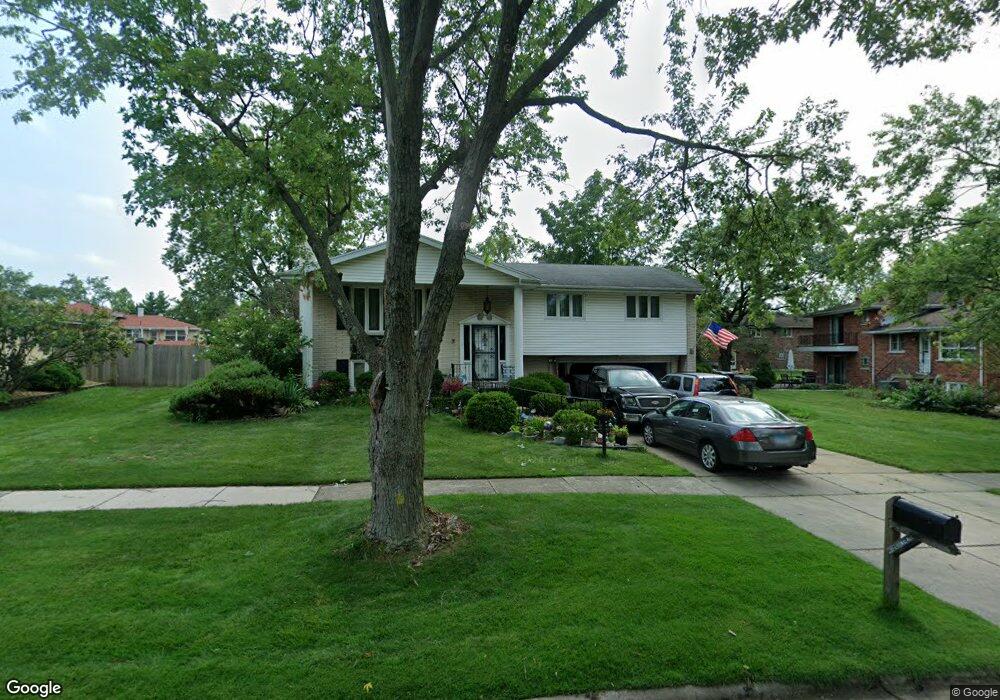
8569 Walnut Ave Orland Park, IL 60462
Silver Lake North NeighborhoodEstimated Value: $354,787 - $407,000
3
Beds
2
Baths
1,361
Sq Ft
$284/Sq Ft
Est. Value
About This Home
This home is located at 8569 Walnut Ave, Orland Park, IL 60462 and is currently estimated at $386,447, approximately $283 per square foot. 8569 Walnut Ave is a home located in Cook County with nearby schools including Prairie Elementary School, Liberty Elementary School, and Jerling Junior High School.
Ownership History
Date
Name
Owned For
Owner Type
Purchase Details
Closed on
Jul 1, 1998
Sold by
Calderon Maria Rosa and Calderon Rosa
Bought by
Nolan Joseph E and Nolan Karen A
Current Estimated Value
Home Financials for this Owner
Home Financials are based on the most recent Mortgage that was taken out on this home.
Original Mortgage
$100,000
Outstanding Balance
$20,696
Interest Rate
7.13%
Estimated Equity
$365,751
Purchase Details
Closed on
Aug 30, 1994
Sold by
Schubert Eleanore A
Bought by
Calderon Antonio and Calderon Maria Rosa
Create a Home Valuation Report for This Property
The Home Valuation Report is an in-depth analysis detailing your home's value as well as a comparison with similar homes in the area
Home Values in the Area
Average Home Value in this Area
Purchase History
| Date | Buyer | Sale Price | Title Company |
|---|---|---|---|
| Nolan Joseph E | $185,000 | -- | |
| Calderon Antonio | $170,000 | -- |
Source: Public Records
Mortgage History
| Date | Status | Borrower | Loan Amount |
|---|---|---|---|
| Open | Nolan Joseph E | $100,000 |
Source: Public Records
Tax History Compared to Growth
Tax History
| Year | Tax Paid | Tax Assessment Tax Assessment Total Assessment is a certain percentage of the fair market value that is determined by local assessors to be the total taxable value of land and additions on the property. | Land | Improvement |
|---|---|---|---|---|
| 2024 | $5,764 | $29,000 | $5,854 | $23,146 |
| 2023 | $4,340 | $29,000 | $5,854 | $23,146 |
| 2022 | $4,340 | $20,644 | $5,055 | $15,589 |
| 2021 | $4,238 | $20,643 | $5,055 | $15,588 |
| 2020 | $4,193 | $20,643 | $5,055 | $15,588 |
| 2019 | $4,105 | $21,128 | $4,523 | $16,605 |
| 2018 | $3,989 | $21,128 | $4,523 | $16,605 |
| 2017 | $3,928 | $21,128 | $4,523 | $16,605 |
| 2016 | $4,337 | $18,041 | $3,991 | $14,050 |
| 2015 | $4,261 | $18,041 | $3,991 | $14,050 |
| 2014 | $4,212 | $18,041 | $3,991 | $14,050 |
| 2013 | $4,581 | $20,503 | $3,991 | $16,512 |
Source: Public Records
Map
Nearby Homes
- 13550 86th Ave
- 13623 S 84th Ave
- 8841 Briarwood Ln
- 13315 Strawberry Ln
- 8756 Butterfield Ln
- 13411 Westgate Ct
- 8932 Pebble Beach Ln
- 8820 W 140th St Unit 2A
- 13520 Idlewild Dr
- 14040 Boxwood Ln
- 8132 Pickens Dr
- 8309 W 132nd St
- 8115 Pluskota Dr
- Richmond Plan at Misty Meadow
- Dartmore Plan at Misty Meadow
- Compton Plan at Misty Meadow
- Beaumont Plan at Misty Meadow
- Barrington Plan at Misty Meadow
- 14111 Tod William Dr
- 14023 Chelsea Dr