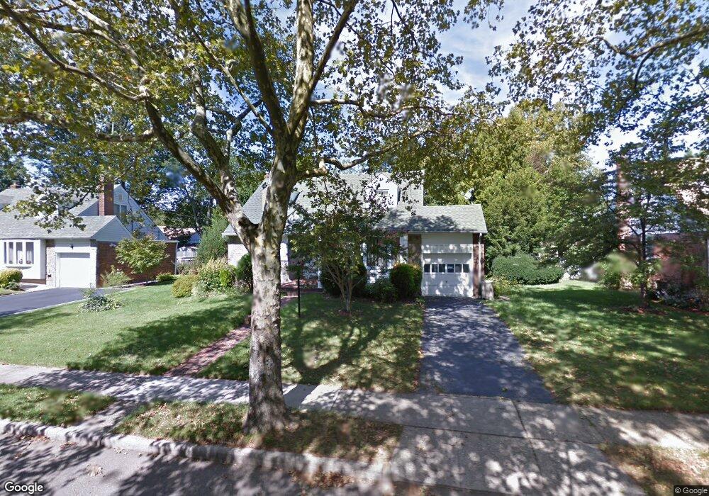
857 Duncan Dr Westbury, NY 11590
Estimated Value: $682,000 - $836,671
4
Beds
2
Baths
1,618
Sq Ft
$469/Sq Ft
Est. Value
About This Home
This home is located at 857 Duncan Dr, Westbury, NY 11590 and is currently estimated at $759,336, approximately $469 per square foot. 857 Duncan Dr is a home located in Nassau County with nearby schools including Westbury High School, Westbury Middle School, and Westbury Friends School.
Ownership History
Date
Name
Owned For
Owner Type
Purchase Details
Closed on
Oct 11, 2024
Sold by
Uppal Mohinder S
Bought by
Uppal Narinderjit Singh
Current Estimated Value
Purchase Details
Closed on
Dec 5, 2013
Sold by
Us Bank Na As Trustee In Trust For The R
Bought by
Uppal Mohinder S and Singh Uppal Narinderjit
Purchase Details
Closed on
Oct 17, 2005
Sold by
Singleton Herbert
Bought by
Ashby James
Create a Home Valuation Report for This Property
The Home Valuation Report is an in-depth analysis detailing your home's value as well as a comparison with similar homes in the area
Home Values in the Area
Average Home Value in this Area
Purchase History
| Date | Buyer | Sale Price | Title Company |
|---|---|---|---|
| Uppal Narinderjit Singh | -- | Judicial Title | |
| Uppal Narinderjit Singh | -- | Judicial Title | |
| Uppal Mohinder S | $325,000 | Chicago Title Insurance Comp | |
| Uppal Mohinder S | $325,000 | Chicago Title Insurance Comp | |
| Ashby James | $459,000 | -- | |
| Ashby James | $459,000 | -- |
Source: Public Records
Tax History Compared to Growth
Tax History
| Year | Tax Paid | Tax Assessment Tax Assessment Total Assessment is a certain percentage of the fair market value that is determined by local assessors to be the total taxable value of land and additions on the property. | Land | Improvement |
|---|---|---|---|---|
| 2025 | $14,007 | $524 | $205 | $319 |
| 2024 | $2,622 | $503 | $197 | $306 |
| 2023 | $13,495 | $524 | $205 | $319 |
| 2022 | $13,495 | $522 | $205 | $317 |
| 2021 | $13,300 | $429 | $244 | $185 |
| 2020 | $11,149 | $626 | $512 | $114 |
| 2019 | $10,303 | $626 | $512 | $114 |
| 2018 | $9,485 | $626 | $0 | $0 |
| 2017 | $8,039 | $703 | $512 | $191 |
| 2016 | $10,195 | $703 | $512 | $191 |
| 2015 | $2,068 | $703 | $512 | $191 |
| 2014 | $2,068 | $703 | $512 | $191 |
| 2013 | $2,009 | $703 | $512 | $191 |
Source: Public Records
Map
Nearby Homes
- 64 Jane Ct
- 830 Jericho Turnpike
- 827 Eastfield Rd
- 58 Sudbury Ln
- 49 Middlecamp Rd
- 806 Pepperidge Rd
- 809 Eastfield Rd
- 101 Hillary Ln
- 11 Parkwood Rd
- 922 Brush Hollow Rd
- 23 Glen Rd
- 5 Orient Ct
- 7 Mindy Ln
- 39 4th Ave
- 43 Briarcliff Rd
- 26 Saint Andrews Ct
- 508 Alicia Dr
- 635 Rockland St
- 360 Grand St E
- 523 Cambridge Ave