A
Seller's Agent in 2025
Amber Nefzger
REALTY XPERTS
(701) 799-4104
119 Total Sales
Estimated Value: $40,000 - $97,000
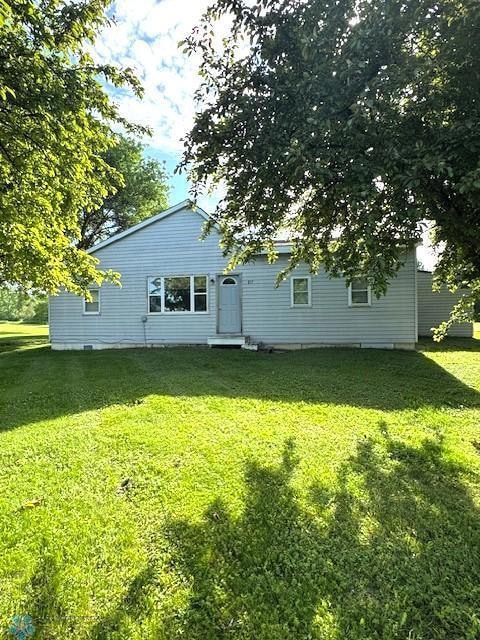
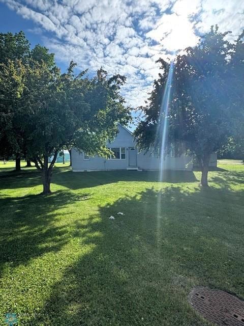
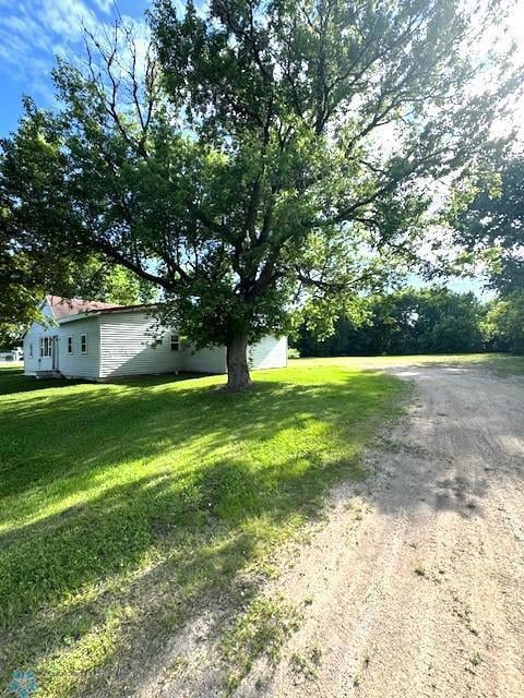
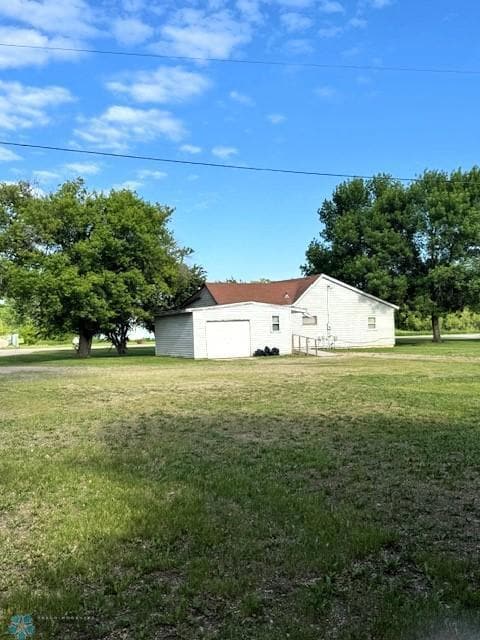
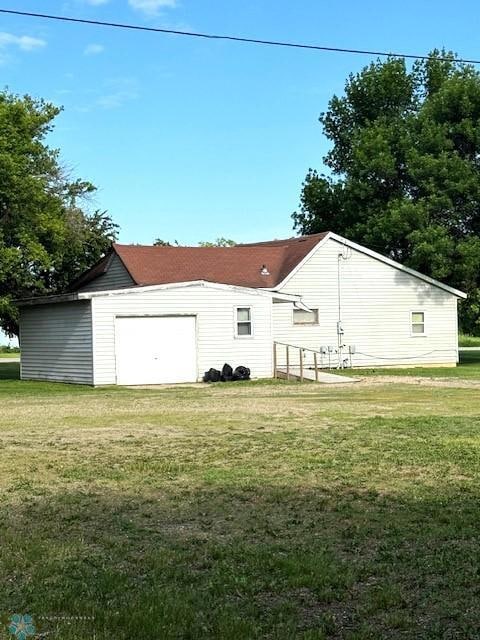
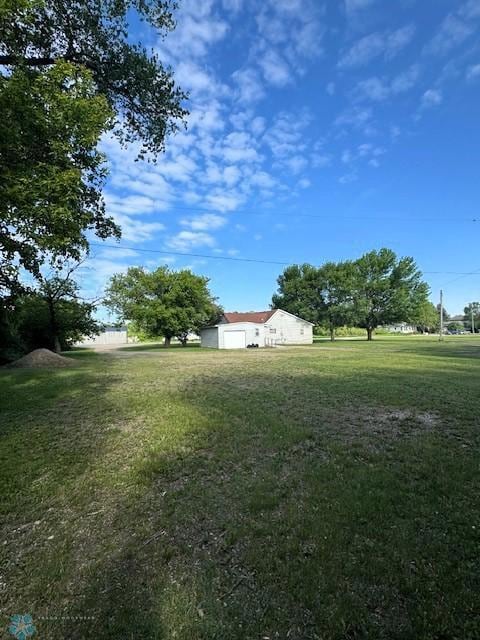
Unlock the potential of this 2-bedroom, 1-bath home located in the heart of small-town living. Situated on a spacious lot, this property is being sold as-is, making it the perfect opportunity for investors, flippers, or those looking to build new.
We collect this data history from publicly available records. To have your information removed, we recommend requesting removal directly through your county’s website.
| Date | Buyer | Sale Price | Title Company |
|---|---|---|---|
| Pritchard Andrew | $40,000 | -- | |
| -- | $470,000 | -- | |
| Agnews Properties Trust | $500 | Attorney Only |
We collect this data history from publicly available records. To have your information removed, we recommend requesting removal directly through your county’s website.
| Date | Status | Borrower | Loan Amount |
|---|---|---|---|
| Previous Owner | -- | $465,000 |
| Date | Event | Price | List to Sale | Price per Sq Ft |
|---|---|---|---|---|
| 12/03/2025 12/03/25 | Sold | $40,000 | -9.1% | $36 / Sq Ft |
| 11/18/2025 11/18/25 | Pending | -- | -- | -- |
| 09/02/2025 09/02/25 | Price Changed | $44,000 | -12.0% | $39 / Sq Ft |
| 07/21/2025 07/21/25 | Price Changed | $50,000 | -9.1% | $44 / Sq Ft |
| 06/15/2025 06/15/25 | For Sale | $55,000 | -- | $49 / Sq Ft |
| Year | Tax Paid | Tax Assessment Tax Assessment Total Assessment is a certain percentage of the fair market value that is determined by local assessors to be the total taxable value of land and additions on the property. | Land | Improvement |
|---|---|---|---|---|
| 2025 | $1,120 | $55,700 | $18,000 | $37,700 |
| 2024 | $1,104 | $55,800 | $18,000 | $37,800 |
| 2023 | $1,104 | $55,900 | $18,000 | $37,900 |
| 2022 | $944 | $42,000 | $14,400 | $27,600 |
| 2021 | $852 | $31,400 | $8,600 | $22,800 |
| 2020 | $832 | $32,900 | $8,600 | $24,300 |
| 2019 | $854 | $30,800 | $6,500 | $24,300 |
| 2018 | $742 | $30,800 | $6,500 | $24,300 |
| 2017 | $780 | $23,200 | $6,500 | $16,700 |
| 2016 | $822 | $26,200 | $6,500 | $19,700 |
| 2015 | $828 | $29,500 | $6,500 | $23,000 |
| 2013 | $818 | $29,500 | $6,500 | $6,500 |
A
Seller's Agent in 2025
Amber Nefzger
REALTY XPERTS
(701) 799-4104
119 Total Sales
Source: NorthstarMLS
MLS Number: 6738896
APN: 18.002.2110
Disclaimer: Certain information contained herein is derived from information provided by parties other than Homes.com. All information provided is deemed reliable, but is not guaranteed to be accurate and should be independently verified.
![]() All data is obtained from various sources and may not have been verified by broker or MLS GRID. Supplied Open House Information is subject to change without notice. All information should be independently reviewed and verified for accuracy. Properties may or may not be listed by the office/agent presenting the information. Some IDX listings have been excluded from this website.
All data is obtained from various sources and may not have been verified by broker or MLS GRID. Supplied Open House Information is subject to change without notice. All information should be independently reviewed and verified for accuracy. Properties may or may not be listed by the office/agent presenting the information. Some IDX listings have been excluded from this website.
Listings courtesy of NorthstarMLS as distributed by MLS GRID.
Based on information submitted to the MLS GRID
Ask me questions while you tour the home.
