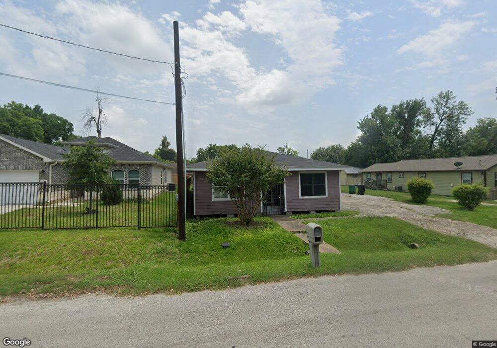
857 Ringold St Houston, TX 77088
Acres Homes NeighborhoodEstimated Value: $187,000 - $274,000
4
Beds
1
Bath
1,950
Sq Ft
$111/Sq Ft
Est. Value
About This Home
This home is located at 857 Ringold St, Houston, TX 77088 and is currently estimated at $217,003, approximately $111 per square foot. 857 Ringold St is a home located in Harris County with nearby schools including Osborne Elementary School, Williams Middle, and Booker T Washington Sr High.
Ownership History
Date
Name
Owned For
Owner Type
Purchase Details
Closed on
Aug 8, 2020
Sold by
Jacqueline Taylor
Bought by
Taylor Onesiana
Current Estimated Value
Purchase Details
Closed on
Jan 11, 2020
Sold by
Taylor Deandra E
Bought by
Taylor Onesiana
Purchase Details
Closed on
Jan 5, 2020
Sold by
Taylor Jerel Lee
Bought by
Taylor Onesiana
Purchase Details
Closed on
Mar 29, 1996
Sold by
Denson Margaret and Mccrary Carolyn Monique
Bought by
Taylor Gloria Dean
Create a Home Valuation Report for This Property
The Home Valuation Report is an in-depth analysis detailing your home's value as well as a comparison with similar homes in the area
Home Values in the Area
Average Home Value in this Area
Purchase History
| Date | Buyer | Sale Price | Title Company |
|---|---|---|---|
| Taylor Onesiana | -- | Fair Law Group Pllc | |
| Taylor Onegsiana | -- | None Available | |
| Taylor Onesiana | -- | None Available | |
| Taylor Onesiana | -- | None Available | |
| Taylor Gloria Dean | -- | American Title Company |
Source: Public Records
Tax History Compared to Growth
Tax History
| Year | Tax Paid | Tax Assessment Tax Assessment Total Assessment is a certain percentage of the fair market value that is determined by local assessors to be the total taxable value of land and additions on the property. | Land | Improvement |
|---|---|---|---|---|
| 2025 | $2,724 | $130,200 | $73,800 | $56,400 |
| 2024 | $2,724 | $130,200 | $73,800 | $56,400 |
| 2023 | $2,623 | $130,200 | $73,800 | $56,400 |
| 2022 | $2,675 | $121,479 | $57,600 | $63,879 |
| 2021 | $2,333 | $100,089 | $37,800 | $62,289 |
| 2020 | $2,234 | $92,269 | $32,400 | $59,869 |
| 2019 | $2,244 | $88,669 | $28,800 | $59,869 |
| 2018 | $1,868 | $73,835 | $16,200 | $57,635 |
| 2017 | $1,647 | $65,142 | $10,800 | $54,342 |
| 2016 | $1,647 | $65,142 | $10,800 | $54,342 |
| 2015 | -- | $60,518 | $10,800 | $49,718 |
| 2014 | -- | $60,518 | $10,800 | $49,718 |
Source: Public Records
Map
Nearby Homes
- 849 Ringold St
- 841 Ringold
- 863 Ringold St
- 853 Ringold St
- 850 Enterprise St
- 867 Ringold St
- 864 Ringold St
- 860 Ringold St
- 868 Ringold St
- 862 Ringold St
- 840 Ringold St
- 8010 De Priest St
- 834 Enterprise St
- 849 Enterprise St
- 838 Ringold St
- 845 Ringold St
- 845 Enterprise St
- 960 Ringold St
- 861 Ringold St
- 00 Ringold St