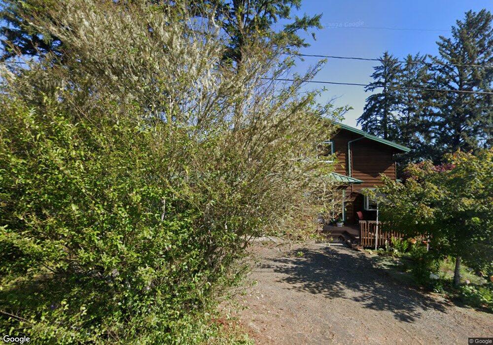
85759 Glenada Rd Florence, OR 97439
Oregon Dunes NeighborhoodEstimated Value: $614,667 - $752,000
2
Beds
2
Baths
1,673
Sq Ft
$405/Sq Ft
Est. Value
About This Home
This home is located at 85759 Glenada Rd, Florence, OR 97439 and is currently estimated at $677,167, approximately $404 per square foot. 85759 Glenada Rd is a home located in Lane County with nearby schools including Siuslaw Elementary School, Siuslaw Middle School, and Siuslaw High School.
Ownership History
Date
Name
Owned For
Owner Type
Purchase Details
Closed on
Sep 26, 2011
Sold by
Cannestra Edwina L
Bought by
Schmidt Anne C
Current Estimated Value
Purchase Details
Closed on
Apr 23, 2003
Sold by
Forrester William D
Bought by
Cannestra Edwina L
Home Financials for this Owner
Home Financials are based on the most recent Mortgage that was taken out on this home.
Original Mortgage
$228,000
Interest Rate
5.72%
Purchase Details
Closed on
Dec 26, 2002
Sold by
Forrester William D
Bought by
Forrester William D and Forrester Carolyn E
Create a Home Valuation Report for This Property
The Home Valuation Report is an in-depth analysis detailing your home's value as well as a comparison with similar homes in the area
Home Values in the Area
Average Home Value in this Area
Purchase History
| Date | Buyer | Sale Price | Title Company |
|---|---|---|---|
| Schmidt Anne C | $340,000 | First American | |
| Cannestra Edwina L | $285,000 | Western Pioneer Title Co | |
| Forrester William D | -- | Western Pioneer Title Co |
Source: Public Records
Mortgage History
| Date | Status | Borrower | Loan Amount |
|---|---|---|---|
| Previous Owner | Cannestra Edwina L | $228,000 |
Source: Public Records
Tax History Compared to Growth
Tax History
| Year | Tax Paid | Tax Assessment Tax Assessment Total Assessment is a certain percentage of the fair market value that is determined by local assessors to be the total taxable value of land and additions on the property. | Land | Improvement |
|---|---|---|---|---|
| 2024 | $3,891 | $354,602 | -- | -- |
| 2023 | $3,891 | $344,274 | $0 | $0 |
| 2022 | $3,625 | $334,247 | $0 | $0 |
| 2021 | $3,524 | $324,512 | $0 | $0 |
| 2020 | $3,421 | $315,061 | $0 | $0 |
| 2019 | $3,286 | $305,885 | $0 | $0 |
| 2018 | $3,321 | $288,326 | $0 | $0 |
| 2017 | $3,198 | $288,326 | $0 | $0 |
| 2016 | $3,107 | $279,928 | $0 | $0 |
| 2015 | $2,858 | $271,775 | $0 | $0 |
| 2014 | $2,807 | $263,859 | $0 | $0 |
Source: Public Records
Map
Nearby Homes
- 75 Harbor St Unit 304
- 211 Harbor St Unit 31
- 1080 Bay St Unit 18
- 1080 Bay St Unit 19
- 1040 Bay St Unit 14
- 289 Harbor St
- 0 Hwy 101 Unit 659685850
- 1695947 4th St
- 85339 Glenada Rd
- 0 Hemlock St Unit 24176357
- 0 Hemlock St Unit 23650308
- 01113 N Loftus Rd
- 4990 N Loftus Rd
- 5004 N Loftus Rd
- 0 Maple St Unit 7600 24079224
- 0 Maple St Unit 24040688
- 85287 Hemlock St
- 589 Ivy St
- 5170 Grand Ave Unit 19
- 679 Kingwood St
- 85747 Glenada Rd
- 85779 Glenada Rd
- 85707 Glenada Rd
- 85633 Alder St
- 85785 Glenada Rd
- 85772 Glenada Rd
- 85742 Glenada Rd
- 85784 Glenada Rd
- 85738 Glenada Rd
- 85729 Glenada Rd
- 85595 Highway 101
- 85723 Glenada Rd
- 5130 E Wilson St
- 85594 Market St
- 85577 Highway 101
- 5105 E Wilson St
- 0000 Colter St
- 0 Colter St
- 85577 Oregon Coast Hwy
- 85712 Glenada Rd