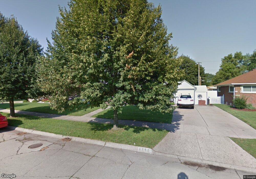
8580 Carter Ave Unit Bldg-Unit Allen Park, MI 48101
Estimated Value: $225,000 - $262,000
--
Bed
2
Baths
1,104
Sq Ft
$219/Sq Ft
Est. Value
About This Home
This home is located at 8580 Carter Ave Unit Bldg-Unit, Allen Park, MI 48101 and is currently estimated at $242,232, approximately $219 per square foot. 8580 Carter Ave Unit Bldg-Unit is a home located in Wayne County with nearby schools including Lindemann Elementary School, Allen Park Middle School, and Allen Park High School.
Ownership History
Date
Name
Owned For
Owner Type
Purchase Details
Closed on
Jun 25, 2018
Sold by
Woods David and Park Patrina
Bought by
Dubensky Mary Elizabeth
Current Estimated Value
Purchase Details
Closed on
Jun 30, 2016
Sold by
Woods Joyce B
Bought by
Woods David
Create a Home Valuation Report for This Property
The Home Valuation Report is an in-depth analysis detailing your home's value as well as a comparison with similar homes in the area
Home Values in the Area
Average Home Value in this Area
Purchase History
| Date | Buyer | Sale Price | Title Company |
|---|---|---|---|
| Dubensky Mary Elizabeth | $133,000 | Michigan Title Ins Agency In | |
| Woods David | -- | Attorney |
Source: Public Records
Tax History Compared to Growth
Tax History
| Year | Tax Paid | Tax Assessment Tax Assessment Total Assessment is a certain percentage of the fair market value that is determined by local assessors to be the total taxable value of land and additions on the property. | Land | Improvement |
|---|---|---|---|---|
| 2025 | $4,067 | $117,100 | $0 | $0 |
| 2024 | $4,067 | $108,900 | $0 | $0 |
| 2023 | $3,886 | $99,900 | $0 | $0 |
| 2022 | $4,654 | $89,800 | $0 | $0 |
| 2021 | $4,526 | $84,100 | $0 | $0 |
| 2020 | $4,471 | $77,100 | $0 | $0 |
| 2019 | $4,438 | $72,400 | $0 | $0 |
| 2018 | $3,373 | $59,600 | $0 | $0 |
| 2017 | $1,224 | $58,900 | $0 | $0 |
| 2016 | $3,108 | $56,700 | $0 | $0 |
| 2015 | $4,903 | $52,300 | $0 | $0 |
| 2013 | $4,750 | $50,000 | $0 | $0 |
| 2012 | $2,555 | $48,400 | $15,500 | $32,900 |
Source: Public Records
Map
Nearby Homes
- 8511 Allen Rd
- 8911 Manor Ave
- 8434 Quandt Ave
- 15769 Aster Ave
- 15720 Jonas Ave
- 9045 Carter Ave
- 9036 Reeck Rd
- 17439 Brody Ave
- 9299 Becker Ave
- 15213 Champaign Rd
- 15224 Champaign Rd
- 9260 Ruth Ave
- 8027 Kolb Ave
- 9347 Chatham Ave
- 15593 Thomas Ave
- 15573 Thomas Ave
- 9280 Ruth Ave
- 15246 Jonas Ave
- 15107 Jonas Ave
- 7252 Luana Ave
- 8580 Carter Ave
- 8556 Carter Ave
- 8482 Carter Ave
- 8461 Allen Rd
- 8596 Carter Ave
- 8451 Allen Rd
- 8471 Allen Rd
- 8441 Allen Rd
- 8465 Carter Ave
- 8481 Allen Rd
- 8483 Carter Ave
- 8445 Carter Ave
- 8610 Carter Ave
- 8501 Allen Rd
- 8495 Carter Ave
- 8615 Manor Ave
- 8619 Carter Ave
- 15851 Englewood Ave
- 15835 Englewood Ave
- 8622 Carter Ave