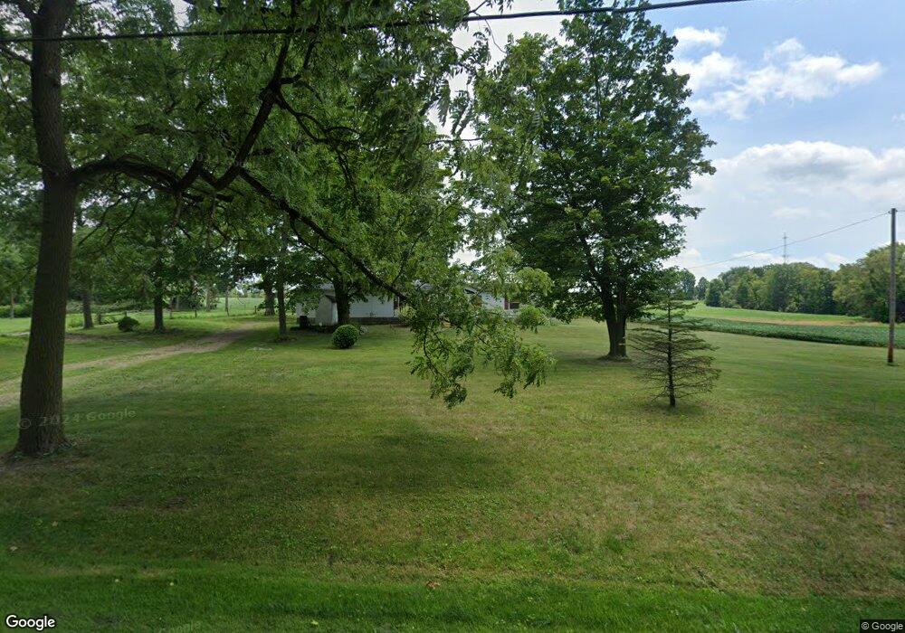
8580 Kent Ave NE Canton, OH 44721
Estimated Value: $281,000
3
Beds
2
Baths
1,352
Sq Ft
$208/Sq Ft
Est. Value
About This Home
This home is located at 8580 Kent Ave NE, Canton, OH 44721 and is currently estimated at $281,000, approximately $207 per square foot. 8580 Kent Ave NE is a home located in Stark County with nearby schools including Lake Middle/High School.
Ownership History
Date
Name
Owned For
Owner Type
Purchase Details
Closed on
May 7, 2025
Sold by
Roberto Novoa Trust and Maria Isabel Herran Trust
Bought by
Roberto Novoa Trust and Novoa
Current Estimated Value
Purchase Details
Closed on
Dec 3, 2024
Sold by
Novoa Roberto and Herran Maria Isabel
Bought by
Roberto Novoa Trust and Maria I Herran Trust
Purchase Details
Closed on
Apr 28, 2006
Sold by
Eisenbrei Hazel
Bought by
Loma Linda Family Lp
Create a Home Valuation Report for This Property
The Home Valuation Report is an in-depth analysis detailing your home's value as well as a comparison with similar homes in the area
Home Values in the Area
Average Home Value in this Area
Purchase History
| Date | Buyer | Sale Price | Title Company |
|---|---|---|---|
| Roberto Novoa Trust | -- | None Listed On Document | |
| Roberto Novoa Trust | -- | None Listed On Document | |
| Novoa Roberto | -- | None Listed On Document | |
| Loma Linda Family Lp | $600,000 | None Available |
Source: Public Records
Tax History Compared to Growth
Tax History
| Year | Tax Paid | Tax Assessment Tax Assessment Total Assessment is a certain percentage of the fair market value that is determined by local assessors to be the total taxable value of land and additions on the property. | Land | Improvement |
|---|---|---|---|---|
| 2025 | -- | $104,730 | $71,510 | $33,220 |
| 2024 | -- | $104,730 | $71,510 | $33,220 |
| 2023 | $3,131 | $65,700 | $41,230 | $24,470 |
| 2022 | $3,141 | $65,700 | $41,230 | $24,470 |
| 2021 | $3,177 | $65,700 | $41,230 | $24,470 |
| 2020 | $3,308 | $61,290 | $38,610 | $22,680 |
| 2019 | $3,281 | $61,300 | $38,620 | $22,680 |
| 2018 | $3,285 | $61,300 | $38,620 | $22,680 |
| 2017 | $2,989 | $51,780 | $30,040 | $21,740 |
| 2016 | $3,141 | $51,780 | $30,040 | $21,740 |
| 2015 | $2,904 | $50,260 | $31,570 | $18,690 |
| 2014 | $420 | $43,410 | $27,270 | $16,140 |
| 2013 | $1,210 | $43,410 | $27,270 | $16,140 |
Source: Public Records
Map
Nearby Homes
- 8994 Kent Ave NE
- 9393 Kent Ave NE
- 2231 Lovers Ln NE
- 2315 Old Elm St NE
- 7272 Ashburton Cir NW
- 8275 Rolling Hill Ave NW
- 8271 Pheasant Ave NW
- 8314 Sapphire Ave NE
- 9766 Smithdale Ave NE
- 9790 Smithdale Ave NE
- 7455 Brushmore Ave NW
- Tupelo Plan at Sparwood Farms
- Cedar Plan at Sparwood Farms
- Elder Plan at Sparwood Farms
- Aspen Plan at Sparwood Farms
- 2623 Notre Dame St NE
- 8098 Diamond Park Ave NE
- 8510 Deacon Ave NW
- 1216 Marquardt Ave NW
- 8033 Maxim Cir NE
- 8567 Kent Ave NE
- 8575 Kent Ave NE
- 8631 Kent Ave NE
- 8557 Kent Ave NE
- 8531 Kent Ave NE
- 8639 Kent Ave NE
- 8511 Kent Ave NE
- 8645 Kent Ave NE
- 8485 Kent Ave NE
- 8684 Kent Ave NE
- 8475 Kent Ave NE
- 8425 Kent Ave NE
- 8399 Kent Ave NE
- 8391 Kent Ave NE
- 8763 Kent Ave NE
- 8340 Kent Ave NE
- 8359 Kent Ave NE
- 1391 Mount Pleasant St NE
- 8349 Kent Ave NE
- 1443 Mount Pleasant St NE
