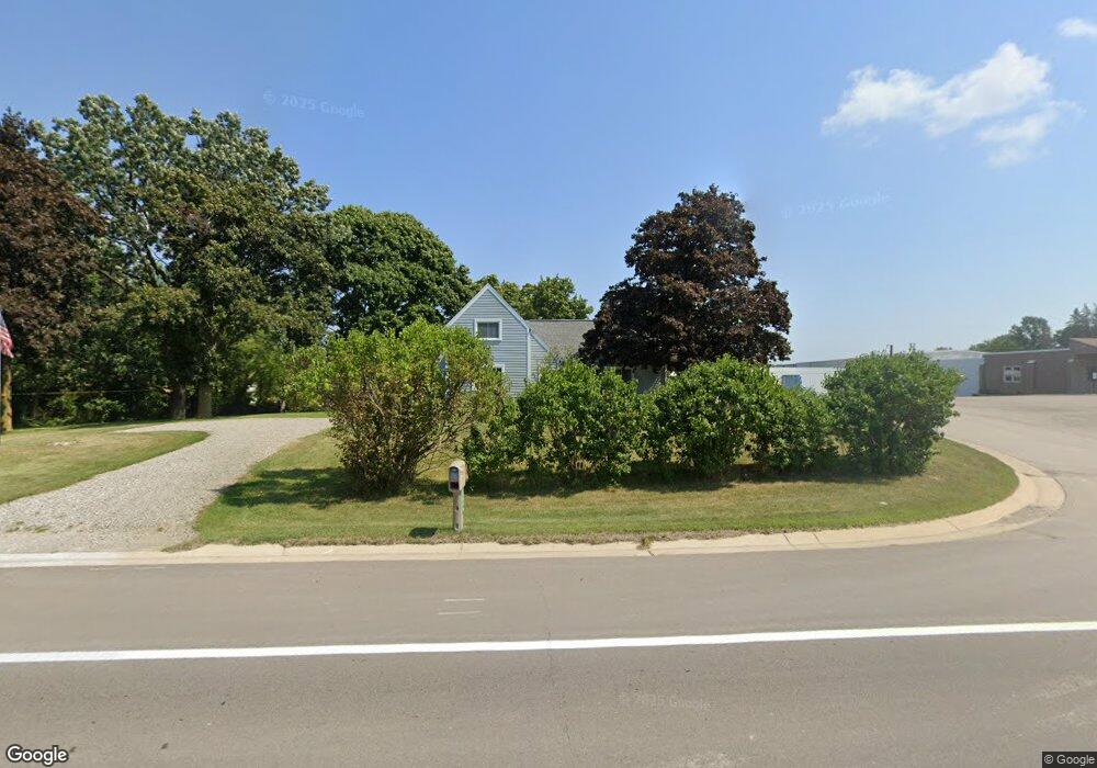
8580 M 50 Unit 8580 Monroe Rd. Onsted, MI 49265
Estimated Value: $171,000 - $249,611
3
Beds
2
Baths
1,819
Sq Ft
$121/Sq Ft
Est. Value
About This Home
This home is located at 8580 M 50 Unit 8580 Monroe Rd., Onsted, MI 49265 and is currently estimated at $220,204, approximately $121 per square foot. 8580 M 50 Unit 8580 Monroe Rd. is a home located in Lenawee County with nearby schools including Onsted Elementary School, Onsted Middle School, and Onsted Community High School.
Ownership History
Date
Name
Owned For
Owner Type
Purchase Details
Closed on
Jul 7, 2018
Sold by
Bailey Roy and Bailey Lori D
Bought by
Bailey Roy
Current Estimated Value
Purchase Details
Closed on
May 1, 2006
Sold by
Johnson Stephen L and Johnson Pamela
Bought by
Bailey Roy and Bailey Lori D
Home Financials for this Owner
Home Financials are based on the most recent Mortgage that was taken out on this home.
Original Mortgage
$82,400
Interest Rate
6.39%
Mortgage Type
New Conventional
Create a Home Valuation Report for This Property
The Home Valuation Report is an in-depth analysis detailing your home's value as well as a comparison with similar homes in the area
Home Values in the Area
Average Home Value in this Area
Purchase History
| Date | Buyer | Sale Price | Title Company |
|---|---|---|---|
| Bailey Roy | -- | -- | |
| Bailey Roy | $103,000 | Atcl |
Source: Public Records
Mortgage History
| Date | Status | Borrower | Loan Amount |
|---|---|---|---|
| Previous Owner | Bailey Roy | $82,400 | |
| Previous Owner | Bailey Roy | $20,600 |
Source: Public Records
Tax History Compared to Growth
Tax History
| Year | Tax Paid | Tax Assessment Tax Assessment Total Assessment is a certain percentage of the fair market value that is determined by local assessors to be the total taxable value of land and additions on the property. | Land | Improvement |
|---|---|---|---|---|
| 2025 | $1,366 | $74,800 | $0 | $0 |
| 2023 | $576 | $60,200 | $0 | $0 |
| 2022 | $1,243 | $55,900 | $0 | $0 |
| 2021 | $1,229 | $50,600 | $0 | $0 |
| 2020 | $1,184 | $46,600 | $0 | $0 |
| 2019 | $121,202 | $46,400 | $0 | $0 |
| 2018 | $1,101 | $46,373 | $0 | $0 |
| 2017 | $1,045 | $45,567 | $0 | $0 |
| 2016 | $1,038 | $40,459 | $0 | $0 |
| 2014 | -- | $39,848 | $0 | $0 |
Source: Public Records
Map
Nearby Homes
- 10623 Springville Hwy
- 8812 Walsh Ct
- 8810 W Stephenson Hwy
- 8443 Stephenson Rd
- Lot 2 Walsh Ct
- 8300 Blk Irish Mist
- 8315 Irish Mist
- Lot 8 Walsh Ct
- 7966 Kingsley Dr
- 112 Kilkenny Dr
- 8395 Dalton Rd
- 1193 Sand Lake Hwy
- 7191 Hickory Ln
- 7000 Surrey Dr
- 8085 Wadding Dr
- 7905 Wadding Dr
- 7831 Barron Ct
- 8000 Slee Rd
- 920 Cambridge Dr
- 7329 Norfolk Dr