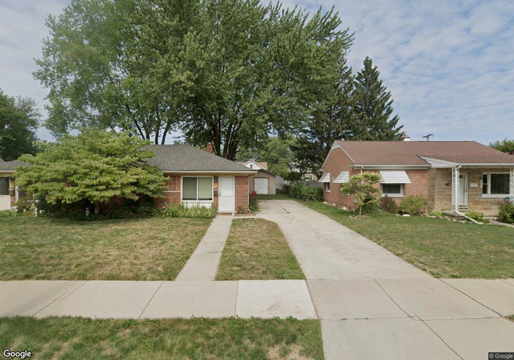
8580 Menge Center Line, MI 48015
Estimated Value: $223,000 - $292,000
4
Beds
3
Baths
1,681
Sq Ft
$152/Sq Ft
Est. Value
About This Home
This home is located at 8580 Menge, Center Line, MI 48015 and is currently estimated at $255,217, approximately $151 per square foot. 8580 Menge is a home located in Macomb County with nearby schools including Crothers Elementary School, Wolfe Middle School, and Center Line High School.
Ownership History
Date
Name
Owned For
Owner Type
Purchase Details
Closed on
Nov 11, 2013
Sold by
Roose Leslie M and Roose Leslie M
Bought by
Vicente Mark Angel G and Agustin Diory C
Current Estimated Value
Home Financials for this Owner
Home Financials are based on the most recent Mortgage that was taken out on this home.
Original Mortgage
$78,375
Outstanding Balance
$58,471
Interest Rate
4.24%
Mortgage Type
New Conventional
Estimated Equity
$196,746
Purchase Details
Closed on
Mar 13, 1995
Sold by
Michalski Ida Celia and Michalski Ralph R
Bought by
Michalski Ida Celia and Roose Leslie M
Create a Home Valuation Report for This Property
The Home Valuation Report is an in-depth analysis detailing your home's value as well as a comparison with similar homes in the area
Home Values in the Area
Average Home Value in this Area
Purchase History
| Date | Buyer | Sale Price | Title Company |
|---|---|---|---|
| Vicente Mark Angel G | $82,500 | First American Title Insuran | |
| Michalski Ida Celia | -- | None Available |
Source: Public Records
Mortgage History
| Date | Status | Borrower | Loan Amount |
|---|---|---|---|
| Open | Vicente Mark Angel G | $78,375 |
Source: Public Records
Tax History Compared to Growth
Tax History
| Year | Tax Paid | Tax Assessment Tax Assessment Total Assessment is a certain percentage of the fair market value that is determined by local assessors to be the total taxable value of land and additions on the property. | Land | Improvement |
|---|---|---|---|---|
| 2025 | $3,087 | $120,000 | $0 | $0 |
| 2024 | $2,438 | $111,400 | $0 | $0 |
| 2023 | $2,352 | $100,100 | $0 | $0 |
| 2022 | $2,914 | $87,700 | $0 | $0 |
| 2021 | $3,033 | $80,800 | $0 | $0 |
| 2020 | $2,475 | $74,800 | $0 | $0 |
| 2019 | $3,163 | $66,600 | $0 | $0 |
| 2018 | $0 | $52,920 | $0 | $0 |
| 2017 | $2,901 | $47,380 | $8,220 | $39,160 |
| 2016 | $2,895 | $47,380 | $0 | $0 |
| 2015 | -- | $42,320 | $0 | $0 |
| 2011 | -- | $50,290 | $6,430 | $43,860 |
Source: Public Records
Map
Nearby Homes
- 26431 Tom Allen Dr
- 26466 Richard Dr
- 11175 Sunburst Ave
- 8150 Menge
- 8475 Stout Ave
- 8330 Sunburst
- 8385 Helen
- 27506 Lorraine Ave
- 27524 Gail Dr
- 8134 Lillian
- 8054 Potomac
- 11245 Mae Ave
- 8174 Helen
- 26032 Falmouth Dr
- 27116 Seyburn Ave
- 8210 Hettenberger Ave
- 27390 Seyburn Ave
- 11820 Mckinley Dr
- 8147 Busko St
- 28031 Lorraine Ave