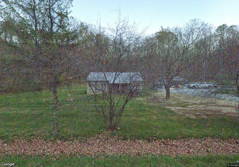
8580 State Route 41 N Bainbridge, OH 45612
Estimated Value: $47,000 - $199,000
3
Beds
2
Baths
1,120
Sq Ft
$133/Sq Ft
Est. Value
About This Home
This home is located at 8580 State Route 41 N, Bainbridge, OH 45612 and is currently estimated at $149,009, approximately $133 per square foot. 8580 State Route 41 N is a home located in Ross County with nearby schools including Paint Valley Elementary School, Paint Valley Middle School, and Paint Valley High School.
Ownership History
Date
Name
Owned For
Owner Type
Purchase Details
Closed on
Jun 18, 2015
Sold by
Meyers Michael R and Meyers Patricia A
Bought by
Shock Chadwick A
Current Estimated Value
Home Financials for this Owner
Home Financials are based on the most recent Mortgage that was taken out on this home.
Original Mortgage
$55,476
Outstanding Balance
$43,075
Interest Rate
3.82%
Mortgage Type
FHA
Estimated Equity
$105,934
Purchase Details
Closed on
May 15, 2014
Sold by
Patterson Vernon L and Patterson Rose M
Bought by
Meyers Michael R and Meyers Patricia A
Create a Home Valuation Report for This Property
The Home Valuation Report is an in-depth analysis detailing your home's value as well as a comparison with similar homes in the area
Home Values in the Area
Average Home Value in this Area
Purchase History
| Date | Buyer | Sale Price | Title Company |
|---|---|---|---|
| Shock Chadwick A | $56,500 | Arrow Title | |
| Meyers Michael R | $21,000 | Pm Title Llc |
Source: Public Records
Mortgage History
| Date | Status | Borrower | Loan Amount |
|---|---|---|---|
| Open | Shock Chadwick A | $55,476 |
Source: Public Records
Tax History Compared to Growth
Tax History
| Year | Tax Paid | Tax Assessment Tax Assessment Total Assessment is a certain percentage of the fair market value that is determined by local assessors to be the total taxable value of land and additions on the property. | Land | Improvement |
|---|---|---|---|---|
| 2024 | $1,605 | $43,980 | $3,020 | $40,960 |
| 2023 | $1,605 | $43,980 | $3,020 | $40,960 |
| 2022 | $1,693 | $43,980 | $3,020 | $40,960 |
| 2021 | $1,329 | $34,180 | $2,380 | $31,800 |
| 2020 | $1,343 | $34,180 | $2,380 | $31,800 |
| 2019 | $1,368 | $34,180 | $2,380 | $31,800 |
| 2018 | $1,282 | $31,250 | $1,880 | $29,370 |
| 2017 | $1,287 | $31,250 | $1,880 | $29,370 |
| 2016 | $1,257 | $31,250 | $1,880 | $29,370 |
| 2015 | $1,222 | $30,430 | $1,880 | $28,550 |
| 2014 | $860 | $30,430 | $1,880 | $28,550 |
| 2013 | $874 | $30,430 | $1,880 | $28,550 |
Source: Public Records
Map
Nearby Homes
- 8818 State Route 41 N
- 948 Mount Olive Rd
- 0000 Mount Olive Rd
- 213 S Benner Hill Rd
- 2470 Tong Hollow Rd
- 1153 Morton Rd
- 1314 U S 50
- 1314 US Highway 50 W
- 9581 Lower Twin Rd
- 0 Lower Twin Rd
- 301 N Maple St
- 310 W Main St
- 116 W Main St
- 316 W Main St
- 116 E 3rd St
- 217 S Quarry St
- 316 S Maple St
- 14505 St Rt 41 S
- 14703 Brier Rd
- 7885 Upper Twin Rd
- 8580 State Route 41 N
- 8550 State Route 41 N
- 8580 N Sr 41
- 8678 State Route 41 N
- 8724 State Route 41 N
- 8431 State Route 41 N
- 8483 State Route 41 N
- 8483 N St Rt 41
- 8404 State Route 41 N
- 8758 State Route 41 N
- 8762 State Route 41 N
- 8762 State Rte 41
- 8782 State Route 41 N
- 8830 State Route 41 N
- 8238 State Route 41 N
- 8896 State Route 41
- 315 Free Ln
- 690 Free Ln
- 488 Free Ln
- 36 Free Ln