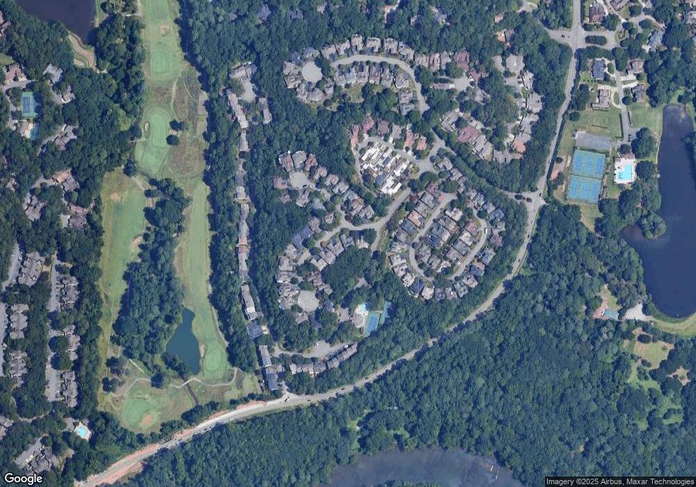
8585 Driver Cir Alpharetta, GA 30022
Rivermont NeighborhoodEstimated Value: $647,235 - $814,000
4
Beds
4
Baths
3,330
Sq Ft
$219/Sq Ft
Est. Value
About This Home
This home is located at 8585 Driver Cir, Alpharetta, GA 30022 and is currently estimated at $730,309, approximately $219 per square foot. 8585 Driver Cir is a home located in Fulton County with nearby schools including Barnwell Elementary School, Haynes Bridge Middle School, and Centennial High School.
Ownership History
Date
Name
Owned For
Owner Type
Purchase Details
Closed on
Apr 14, 2009
Sold by
Foles Lance D
Bought by
Zenas Daniel J and Pigott-Zenas Cynthia
Current Estimated Value
Home Financials for this Owner
Home Financials are based on the most recent Mortgage that was taken out on this home.
Original Mortgage
$268,000
Outstanding Balance
$170,417
Interest Rate
5.05%
Mortgage Type
New Conventional
Estimated Equity
$559,892
Purchase Details
Closed on
Jan 13, 1995
Sold by
Bowers Michael C
Bought by
Foles Polly L
Create a Home Valuation Report for This Property
The Home Valuation Report is an in-depth analysis detailing your home's value as well as a comparison with similar homes in the area
Home Values in the Area
Average Home Value in this Area
Purchase History
| Date | Buyer | Sale Price | Title Company |
|---|---|---|---|
| Zenas Daniel J | $335,000 | -- | |
| Foles Polly L | $255,000 | -- |
Source: Public Records
Mortgage History
| Date | Status | Borrower | Loan Amount |
|---|---|---|---|
| Open | Zenas Daniel J | $268,000 | |
| Closed | Foles Polly L | -- |
Source: Public Records
Tax History Compared to Growth
Tax History
| Year | Tax Paid | Tax Assessment Tax Assessment Total Assessment is a certain percentage of the fair market value that is determined by local assessors to be the total taxable value of land and additions on the property. | Land | Improvement |
|---|---|---|---|---|
| 2025 | $4,294 | $200,720 | $68,400 | $132,320 |
| 2023 | $5,821 | $206,240 | $68,400 | $137,840 |
| 2022 | $4,490 | $174,520 | $31,040 | $143,480 |
| 2021 | $4,465 | $169,440 | $30,120 | $139,320 |
| 2020 | $4,419 | $159,280 | $31,440 | $127,840 |
| 2019 | $519 | $172,240 | $34,360 | $137,880 |
| 2018 | $4,039 | $136,280 | $30,200 | $106,080 |
| 2017 | $4,225 | $136,280 | $30,200 | $106,080 |
| 2016 | $4,397 | $143,480 | $30,200 | $113,280 |
| 2015 | $4,445 | $143,480 | $30,200 | $113,280 |
| 2014 | $3,183 | $103,280 | $20,640 | $82,640 |
Source: Public Records
Map
Nearby Homes
- 0 Niblick Dr Unit 7655286
- 225 Brassy Ct
- 765 Olde Clubs Dr
- 180 Colony Ridge Dr
- 102 Hawkstone Way
- 240 Fairway Ridge Dr
- 712 Cypress Pointe St
- 703 Cypress Pointe St Unit 123
- 420 Sandwedge Ln
- 606 Cypress Pointe St
- 1106 Sandy Lane Dr Unit 206
- 1003 Sandy Lane Dr
- 917 Wentworth Ct
- 0 Spyglass Bluff Unit 7666454
- 0 Spyglass Bluff Unit 10628282
- 909 Wentworth Ct
- 530 Matterhorn Way
- 98 Holly Isles-Harvel Pond Rd
- 8575 Driver Cir
- 8595 Driver Cir
- 8565 Driver Cir
- 300 Driver Circle Ct
- 8555 Driver Cir
- 0 Driver Cir Unit 7575203
- 0 Driver Cir Unit 8498054
- 8600 Driver Cir
- 8560 Driver Cir
- 305 Driver Circle Ct
- 175 Brassy Ct
- 165 Brassy Ct
- 8545 Driver Cir
- 8550 Driver Cir
- 310 Driver Circle Ct
- 8535 Driver Cir
- 315 Driver Circle Ct
- 0 Driver Circle Ct Unit 7044488
- 0 Driver Circle Ct
- 155 Brassy Ct
