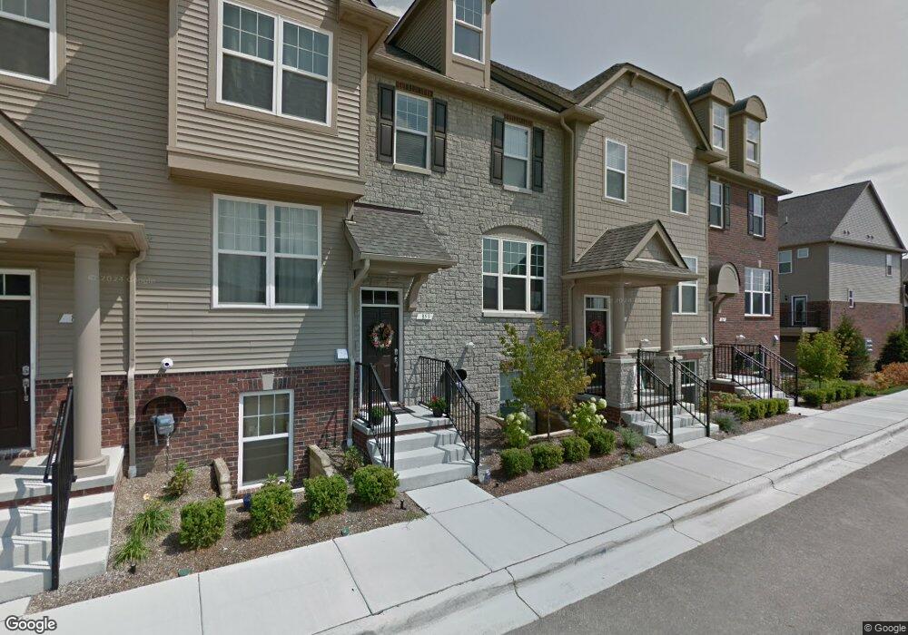
859 Barclay Cir Unit 16 Rochester Hills, MI 48307
Estimated Value: $427,000 - $451,000
3
Beds
4
Baths
1,960
Sq Ft
$223/Sq Ft
Est. Value
About This Home
This home is located at 859 Barclay Cir Unit 16, Rochester Hills, MI 48307 and is currently estimated at $437,498, approximately $223 per square foot. 859 Barclay Cir Unit 16 is a home located in Oakland County with nearby schools including Hampton Elementary School, Reuther Middle School, and Rochester High School.
Ownership History
Date
Name
Owned For
Owner Type
Purchase Details
Closed on
Sep 24, 2020
Sold by
Fanzott Gerhard and Fanzott Roswitha
Bought by
Pabba Shivanand and Gandia Shilpa
Current Estimated Value
Purchase Details
Closed on
Dec 19, 2019
Sold by
Mcdonald Byron W and Mcdonald Mary Louise
Bought by
Fanzott Gerhard and Fanzott Roswitha
Home Financials for this Owner
Home Financials are based on the most recent Mortgage that was taken out on this home.
Original Mortgage
$100,000
Interest Rate
3.6%
Mortgage Type
New Conventional
Purchase Details
Closed on
Jun 28, 2016
Sold by
Pulte Homes Of Michigan Llc
Bought by
Mcdonald Mary Louise and Mcdonald Byron W
Home Financials for this Owner
Home Financials are based on the most recent Mortgage that was taken out on this home.
Original Mortgage
$159,765
Interest Rate
3.58%
Mortgage Type
New Conventional
Create a Home Valuation Report for This Property
The Home Valuation Report is an in-depth analysis detailing your home's value as well as a comparison with similar homes in the area
Home Values in the Area
Average Home Value in this Area
Purchase History
| Date | Buyer | Sale Price | Title Company |
|---|---|---|---|
| Pabba Shivanand | $305,000 | None Available | |
| Fanzott Gerhard | $325,000 | Sterling Title Agency | |
| Mcdonald Mary Louise | $299,765 | None Available |
Source: Public Records
Mortgage History
| Date | Status | Borrower | Loan Amount |
|---|---|---|---|
| Previous Owner | Fanzott Gerhard | $100,000 | |
| Previous Owner | Mcdonald Mary Louise | $159,765 |
Source: Public Records
Tax History Compared to Growth
Tax History
| Year | Tax Paid | Tax Assessment Tax Assessment Total Assessment is a certain percentage of the fair market value that is determined by local assessors to be the total taxable value of land and additions on the property. | Land | Improvement |
|---|---|---|---|---|
| 2022 | $2,946 | $166,880 | $0 | $0 |
| 2018 | $7,463 | $151,660 | $0 | $0 |
Source: Public Records
Map
Nearby Homes
- 2653 Helmsdale Cir
- 2817 Hartwick Dr
- 2605 Helmsdale Cir
- 525 Oxford Ct
- 740 Eastbridge Ct
- 733 Hamilton Ct Unit 120
- 653 Glasgow Ct Unit 207
- 830 Dartmouth Dr
- 134 W Auburn Rd
- 372 Daylily Dr
- 2770 Hickory Lawn Rd
- 980 Briston Dr
- 3118 Hickory Lawn Rd
- 535 Tennyson Unit 48
- 513 Tennyson
- 120 Montmorency Rd
- 3285 Norton Lawn
- 2198 S Rochester Rd
- 2198 London Bridge Dr
- 309 Coldiron Dr
- 859 Barclay Cir
- 855 Barclay Cir
- 851 Barclay Cir
- 2689 Helmsdale Cir
- 2685 Helmsdale Cir
- 317 Glenhurst Blvd
- 329 Glenhurst Blvd
- 2721 Helmsdale Cir Unit 22
- 2717 Helmsdale Cir Unit Bldg-Unit
- 2717 Helmsdale Cir
- 2725 Helmsdale Cir Unit 23
- 2725 Helmsdale Cir Unit 7, 23
- 2725 Helmsdale Cir Unit 11, 23
- 2714 Helmsdale Cir
- 2710 Helmsdale Cir
- 314 Glenhurst Blvd
- 318 Glenhurst Blvd Unit Bldg-Unit
- 318 Glenhurst Blvd
- 334 Glenhurst Blvd
- 2690 Helmsdale Cir Unit 31