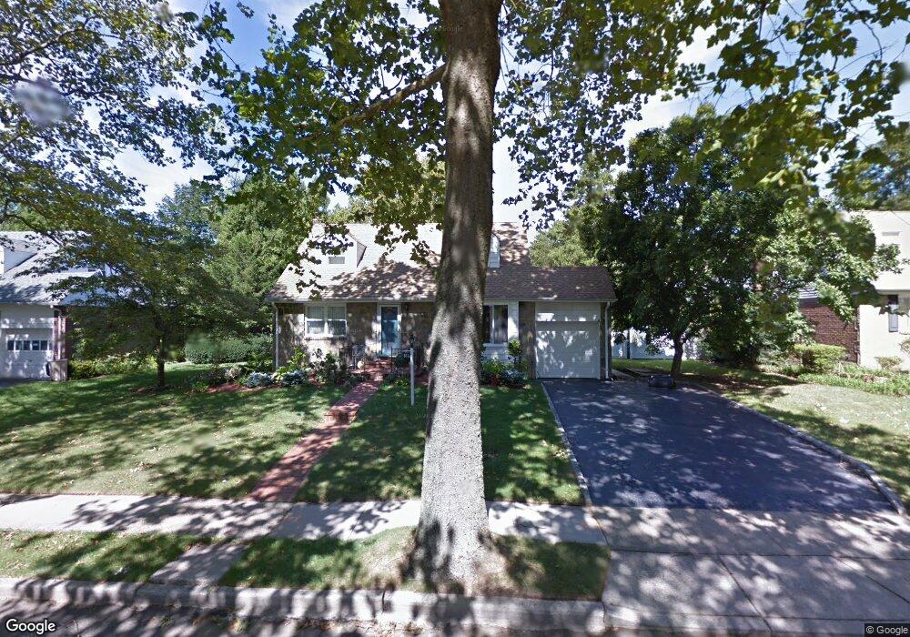
859 Duncan Dr Westbury, NY 11590
Estimated Value: $703,000 - $810,254
4
Beds
3
Baths
1,578
Sq Ft
$479/Sq Ft
Est. Value
About This Home
This home is located at 859 Duncan Dr, Westbury, NY 11590 and is currently estimated at $756,627, approximately $479 per square foot. 859 Duncan Dr is a home located in Nassau County with nearby schools including Westbury High School, Westbury Middle School, and Westbury Friends School.
Ownership History
Date
Name
Owned For
Owner Type
Purchase Details
Closed on
Dec 6, 2018
Sold by
Budram Anil and Ramanan Padmawatie
Bought by
Nandkumar Anil and Nandkumar Preeya
Current Estimated Value
Home Financials for this Owner
Home Financials are based on the most recent Mortgage that was taken out on this home.
Original Mortgage
$380,000
Outstanding Balance
$335,456
Interest Rate
4.9%
Mortgage Type
Adjustable Rate Mortgage/ARM
Estimated Equity
$421,171
Purchase Details
Closed on
Feb 21, 2012
Sold by
Marshall Bryan and Marshall Robin
Bought by
Budram Anil and Ramanan Padmawatie
Home Financials for this Owner
Home Financials are based on the most recent Mortgage that was taken out on this home.
Original Mortgage
$290,880
Interest Rate
3.99%
Mortgage Type
FHA
Purchase Details
Closed on
Apr 4, 2003
Sold by
Schlindra Lilli
Bought by
Marshall Bryan
Create a Home Valuation Report for This Property
The Home Valuation Report is an in-depth analysis detailing your home's value as well as a comparison with similar homes in the area
Home Values in the Area
Average Home Value in this Area
Purchase History
| Date | Buyer | Sale Price | Title Company |
|---|---|---|---|
| Nandkumar Anil | $475,000 | None Available | |
| Budram Anil | $320,000 | -- | |
| Marshall Bryan | $390,000 | -- |
Source: Public Records
Mortgage History
| Date | Status | Borrower | Loan Amount |
|---|---|---|---|
| Open | Nandkumar Anil | $380,000 | |
| Previous Owner | Budram Anil | $290,880 |
Source: Public Records
Tax History Compared to Growth
Tax History
| Year | Tax Paid | Tax Assessment Tax Assessment Total Assessment is a certain percentage of the fair market value that is determined by local assessors to be the total taxable value of land and additions on the property. | Land | Improvement |
|---|---|---|---|---|
| 2025 | $13,832 | $475 | $254 | $221 |
| 2024 | $2,730 | $475 | $254 | $221 |
| 2023 | $13,420 | $475 | $254 | $221 |
| 2022 | $13,420 | $475 | $254 | $221 |
| 2021 | $13,339 | $456 | $244 | $212 |
| 2020 | $12,798 | $611 | $512 | $99 |
| 2019 | $8,867 | $608 | $512 | $96 |
| 2018 | $8,867 | $608 | $0 | $0 |
| 2017 | $6,734 | $608 | $512 | $96 |
| 2016 | $8,596 | $608 | $410 | $198 |
| 2015 | $1,788 | $608 | $410 | $198 |
| 2014 | $1,788 | $608 | $410 | $198 |
| 2013 | $1,979 | $712 | $512 | $200 |
Source: Public Records
Map
Nearby Homes
- 64 Jane Ct
- 830 Jericho Turnpike
- 58 Sudbury Ln
- 827 Eastfield Rd
- 49 Middlecamp Rd
- 101 Hillary Ln
- 806 Pepperidge Rd
- 809 Eastfield Rd
- 11 Parkwood Rd
- 922 Brush Hollow Rd
- 23 Glen Rd
- 5 Orient Ct
- 7 Mindy Ln
- 39 4th Ave
- 43 Briarcliff Rd
- 26 Saint Andrews Ct
- 508 Alicia Dr
- 635 Rockland St
- 360 Grand St E
- 7 Meadowood Dr