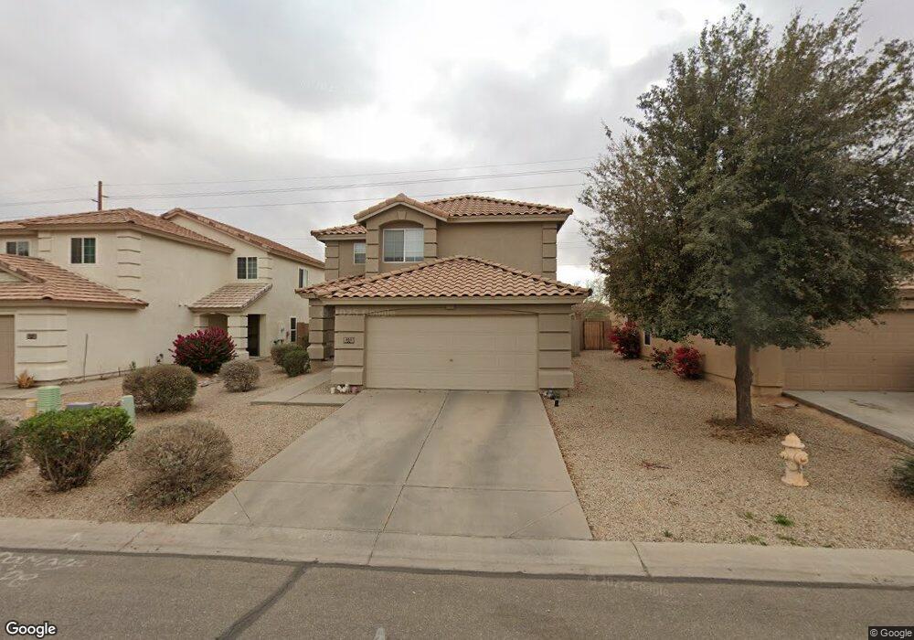
859 E Mayfield Cir San Tan Valley, AZ 85143
Estimated Value: $268,975 - $324,000
--
Bed
--
Bath
1,389
Sq Ft
$220/Sq Ft
Est. Value
About This Home
This home is located at 859 E Mayfield Cir, San Tan Valley, AZ 85143 and is currently estimated at $305,494, approximately $219 per square foot. 859 E Mayfield Cir is a home located in Pinal County with nearby schools including Skyline Ranch Elementary School, Poston Butte High School, and Champion Schools San Tan Valley.
Ownership History
Date
Name
Owned For
Owner Type
Purchase Details
Closed on
Jan 16, 2004
Sold by
Hancock & Mth Communities Inc
Bought by
Wilbanks Sammual and Wilbanks Jennifer
Current Estimated Value
Home Financials for this Owner
Home Financials are based on the most recent Mortgage that was taken out on this home.
Original Mortgage
$115,293
Outstanding Balance
$53,768
Interest Rate
5.86%
Mortgage Type
FHA
Estimated Equity
$251,726
Create a Home Valuation Report for This Property
The Home Valuation Report is an in-depth analysis detailing your home's value as well as a comparison with similar homes in the area
Home Values in the Area
Average Home Value in this Area
Purchase History
| Date | Buyer | Sale Price | Title Company |
|---|---|---|---|
| Wilbanks Sammual | $117,104 | Stewart Title & Trust | |
| Hancock&Mth Communities Inc | -- | Stewart Title & Trust |
Source: Public Records
Mortgage History
| Date | Status | Borrower | Loan Amount |
|---|---|---|---|
| Open | Wilbanks Sammual | $115,293 |
Source: Public Records
Tax History Compared to Growth
Tax History
| Year | Tax Paid | Tax Assessment Tax Assessment Total Assessment is a certain percentage of the fair market value that is determined by local assessors to be the total taxable value of land and additions on the property. | Land | Improvement |
|---|---|---|---|---|
| 2025 | $864 | $20,356 | -- | -- |
| 2024 | $852 | $25,830 | -- | -- |
| 2023 | $866 | $20,311 | $5,227 | $15,084 |
| 2022 | $852 | $12,626 | $1,250 | $11,376 |
| 2021 | $947 | $11,506 | $0 | $0 |
| 2020 | $852 | $11,097 | $0 | $0 |
| 2019 | $853 | $10,521 | $0 | $0 |
| 2018 | $817 | $9,326 | $0 | $0 |
| 2017 | $768 | $9,317 | $0 | $0 |
| 2016 | $779 | $9,270 | $1,250 | $8,020 |
| 2014 | $761 | $6,237 | $1,000 | $5,237 |
Source: Public Records
Map
Nearby Homes
- 1046 E Silversmith Trail Unit 4A
- 31339 N Blackfoot Dr
- 31390 N Cactus Dr
- 809 E Cowboy Cove Trail
- 1190 E Silversmith Trail
- 1135 E Desert Holly Dr
- 941 E Desert Moon Trail
- 1187 E Cowboy Cove Trail
- 29820 N Red Sand Way
- 2933 E Mecklenburg Way
- 1230 E Desert Moon Trail
- 31446 N Candlewood Dr
- 31689 N Blackfoot Dr
- 1492 E Poncho Ln
- 787 E Rosebud Dr
- 1212 E Renegade Trail
- 738 E Rosebud Dr
- 1751 E Cowboy Cove Trail Unit 4F
- 30332 N Desert Willow Blvd Unit 3A
- 1417 E Rosebud Dr Unit 2
- 873 E Mayfield Cir
- 845 E Mayfield Cir
- 885 E Mayfield Cir
- 833 E Mayfield Cir
- 856 E Mayfield Cir
- 856R E Mayfield Cir
- 815 E Mayfield Cir
- 872 E Mayfield Cir
- 913 E Mayfield Cir
- 886 E Mayfield Cir
- 31168 N Blackfoot Dr
- 912 E Mayfield Cir
- 927 E Mayfield Cir
- 31178 N Blackfoot Dr
- 821 E Lakeview Dr
- 833 E Lakeview Dr
- 926 E Mayfield Cir
- 864 E Silversmith Trail
- 878 E Silversmith Trail
- 845 E Lakeview Dr