859 Ed Youmans Rd Swainsboro, GA 30401
Estimated Value: $90,000 - $250,000
3
Beds
1
Bath
1,886
Sq Ft
$90/Sq Ft
Est. Value
About This Home
This home is located at 859 Ed Youmans Rd, Swainsboro, GA 30401 and is currently estimated at $169,213, approximately $89 per square foot. 859 Ed Youmans Rd is a home with nearby schools including Swainsboro Primary School, Swainsboro Elementary School, and Swainsboro Middle School.
Ownership History
Date
Name
Owned For
Owner Type
Purchase Details
Closed on
Apr 29, 2009
Sold by
Purvis Dwayne
Bought by
Kirby Sharon
Current Estimated Value
Purchase Details
Closed on
Jun 19, 2007
Sold by
Kirby Sharon R
Bought by
Purvis Dwayne
Purchase Details
Closed on
Aug 12, 2005
Sold by
Kirby Sharon
Bought by
Kirby Sharon
Purchase Details
Closed on
Jul 1, 2005
Sold by
Cardinal Land Co Llc
Bought by
Mckenzie Leon L and Mckenzie Donna F
Purchase Details
Closed on
Jan 9, 1964
Sold by
Moore Willie
Bought by
Moore Moore G and Moore H
Create a Home Valuation Report for This Property
The Home Valuation Report is an in-depth analysis detailing your home's value as well as a comparison with similar homes in the area
Home Values in the Area
Average Home Value in this Area
Purchase History
| Date | Buyer | Sale Price | Title Company |
|---|---|---|---|
| Kirby Sharon | -- | -- | |
| Purvis Dwayne | -- | -- | |
| Kirby Sharon | -- | -- | |
| Mckenzie Leon L | $32,398 | -- | |
| Moore Moore G | -- | -- |
Source: Public Records
Tax History Compared to Growth
Tax History
| Year | Tax Paid | Tax Assessment Tax Assessment Total Assessment is a certain percentage of the fair market value that is determined by local assessors to be the total taxable value of land and additions on the property. | Land | Improvement |
|---|---|---|---|---|
| 2024 | $1,656 | $70,335 | $18,989 | $51,346 |
| 2023 | $1,543 | $62,762 | $14,920 | $47,842 |
| 2022 | $1,388 | $59,242 | $14,920 | $44,322 |
| 2021 | $1,347 | $55,686 | $13,564 | $42,122 |
| 2020 | $1,486 | $60,930 | $16,720 | $44,210 |
| 2019 | $1,514 | $61,062 | $16,720 | $44,342 |
| 2018 | $1,764 | $61,326 | $16,720 | $44,606 |
| 2017 | $1,701 | $58,977 | $19,690 | $39,287 |
| 2016 | $1,650 | $57,230 | $19,238 | $37,992 |
| 2015 | -- | $57,230 | $19,238 | $37,992 |
| 2014 | -- | $55,844 | $19,238 | $36,606 |
| 2013 | -- | $0 | $0 | $0 |
Source: Public Records
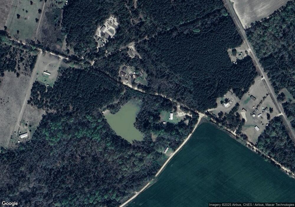
Map
Nearby Homes
- 0 Highway 1 Unit 160605
- 0 Highway 1 Unit 155239
- 22 Meadowlark Ln
- 81 Island Dr
- 2 Condor Rd
- 1 Condor Rd
- 3 Condor Rd
- 0 S Us 1 Hwy
- 187 Georgia 46
- 183 Gobbler Ln
- 38 Georgia 46
- 0 S Old Reidsville Rd Unit 10556290
- 615 Railroad Ave
- 14936 Ga Highway 86
- 0 Griffin Ferry Rd Unit SA336141
- 0 Griffin Ferry Rd Unit 10439452
- S S Old Reidsville Rd
- 163 Egret Place
- 217 Mimosa Dr
- 120 Essex Rd
- 879 Ed Youmans Rd
- 832 Ed Youmans Rd
- 831 Ed Youmans Rd
- 1262 New Hope Church Rd
- 109 Bluegill Ln
- 1270 New Hope Church Rd
- 189 Blue Gill Ln
- 814 Ed Youmans Rd
- 1326 New Hope Church Rd
- 1106 New Hope Church Rd
- 762 Ed Youmans Rd
- 0 Highway 1 Unit 155267
- 721 Ed Youmans Rd
- 1145 New Hope Church Rd
- 1387 Edenfield Rd
- 0000 Lombard Rd
- 687 Ed Youmans Rd
- 688 Ed Youmans Rd