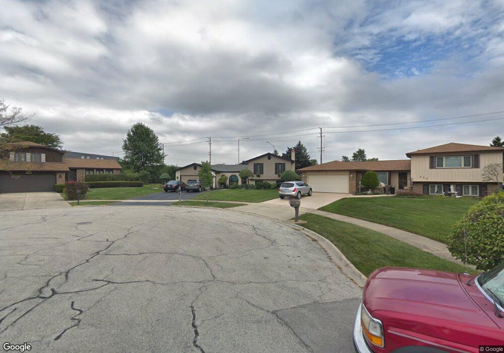
859 Kings Point Dr E Addison, IL 60101
Estimated Value: $453,000 - $495,000
4
Beds
3
Baths
2,409
Sq Ft
$197/Sq Ft
Est. Value
About This Home
This home is located at 859 Kings Point Dr E, Addison, IL 60101 and is currently estimated at $475,401, approximately $197 per square foot. 859 Kings Point Dr E is a home located in DuPage County with nearby schools including Stone Elementary School, Indian Trail Jr High School, and Addison Trail High School.
Ownership History
Date
Name
Owned For
Owner Type
Purchase Details
Closed on
Jul 20, 2006
Sold by
Dantonio Francine
Bought by
Addante Henry and Addante Cheryl
Current Estimated Value
Home Financials for this Owner
Home Financials are based on the most recent Mortgage that was taken out on this home.
Original Mortgage
$253,750
Outstanding Balance
$151,310
Interest Rate
6.73%
Mortgage Type
FHA
Estimated Equity
$324,091
Purchase Details
Closed on
May 24, 2002
Sold by
Rutkowski Krystyna
Bought by
Dantonio Francine
Home Financials for this Owner
Home Financials are based on the most recent Mortgage that was taken out on this home.
Original Mortgage
$80,000
Interest Rate
6.5%
Purchase Details
Closed on
Mar 10, 1997
Sold by
Rutkowski Tadeusz and Rutkowski Krystyna
Bought by
Rutkowski Krystyna
Home Financials for this Owner
Home Financials are based on the most recent Mortgage that was taken out on this home.
Original Mortgage
$144,500
Interest Rate
7.73%
Create a Home Valuation Report for This Property
The Home Valuation Report is an in-depth analysis detailing your home's value as well as a comparison with similar homes in the area
Home Values in the Area
Average Home Value in this Area
Purchase History
| Date | Buyer | Sale Price | Title Company |
|---|---|---|---|
| Addante Henry | $360,000 | Atg | |
| Dantonio Francine | $263,000 | -- | |
| Rutkowski Krystyna | -- | -- |
Source: Public Records
Mortgage History
| Date | Status | Borrower | Loan Amount |
|---|---|---|---|
| Open | Addante Henry | $253,750 | |
| Previous Owner | Dantonio Francine | $80,000 | |
| Previous Owner | Rutkowski Krystyna | $144,500 |
Source: Public Records
Tax History
| Year | Tax Paid | Tax Assessment Tax Assessment Total Assessment is a certain percentage of the fair market value that is determined by local assessors to be the total taxable value of land and additions on the property. | Land | Improvement |
|---|---|---|---|---|
| 2024 | $9,379 | $141,768 | $38,491 | $103,277 |
| 2023 | $9,564 | $138,600 | $35,200 | $103,400 |
| 2022 | $9,323 | $132,470 | $34,980 | $97,490 |
| 2021 | $8,862 | $125,860 | $33,230 | $92,630 |
| 2020 | $8,784 | $122,790 | $32,420 | $90,370 |
| 2019 | $8,750 | $117,990 | $31,150 | $86,840 |
| 2018 | $8,343 | $108,410 | $28,620 | $79,790 |
| 2017 | $7,883 | $100,480 | $26,530 | $73,950 |
| 2016 | $7,678 | $92,990 | $24,550 | $68,440 |
| 2015 | $7,575 | $86,780 | $22,910 | $63,870 |
| 2014 | $7,087 | $80,980 | $22,070 | $58,910 |
| 2013 | $7,044 | $83,750 | $22,820 | $60,930 |
Source: Public Records
Map
Nearby Homes
- 940 N Rohlwing Rd Unit 201A
- 953 N Rohlwing Rd Unit GB
- 823 N Harrow Ct
- 1770 W Windmill Ct
- 1651 W Goldengate Dr
- 865 N Tamarac Blvd
- 881 N Swift Rd Unit 206
- 941 N Swift Rd Unit 302
- 1354 W Byron Ave Unit D
- 1210 N Foxdale Dr Unit 109
- 551 N Plamondon Dr
- 1200 N Foxdale Dr Unit 205
- 1200 N Foxdale Dr Unit 100
- 5N210 Central Rd
- 1306 W Byron Ave
- 1259 W Lake St Unit 203
- 1227 N Ashley Ln
- 1113 N Itasca Rd
- 1137 N Itasca Rd
- 1130 N Thatcher Ln
- 1802 Kings Point Dr N
- 855 Kings Point Dr E
- 1806 Kings Point Dr N
- 851 Kings Point Dr E
- 1798 W Goldengate Ct
- 847 Kings Point Dr E
- 1810 Kings Point Dr N
- 1796 W Goldengate Ct
- 850 Kings Point Dr E
- 1811 Kings Point Dr N
- 1814 Kings Point Dr N
- 843 Kings Point Dr E
- 846 Kings Point Dr E
- 1794 W Goldengate Ct
- 900 N Rohlwing Rd
- 1797 W Goldengate Ct
- 1818 Kings Point Dr N
- 847 N Cambridge Row
- 839 Kings Point Dr E
- 842 Kings Point Dr E
Your Personal Tour Guide
Ask me questions while you tour the home.