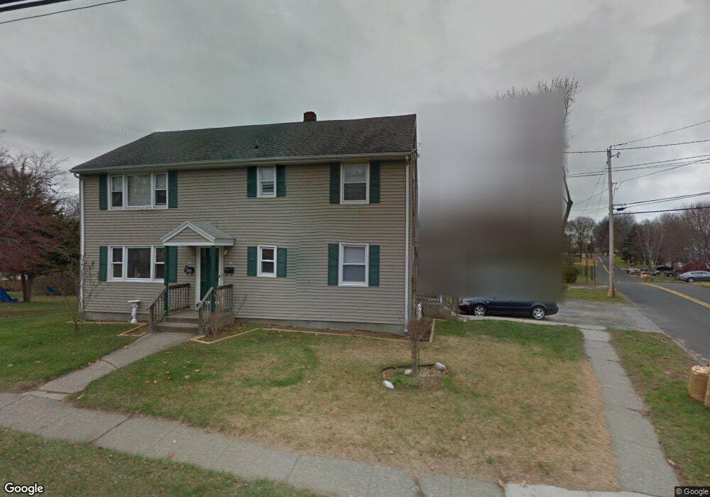
859 Milford Point Rd Milford, CT 06460
Devon NeighborhoodEstimated Value: $533,010 - $742,000
5
Beds
2
Baths
2,288
Sq Ft
$265/Sq Ft
Est. Value
About This Home
This home is located at 859 Milford Point Rd, Milford, CT 06460 and is currently estimated at $606,503, approximately $265 per square foot. 859 Milford Point Rd is a home located in New Haven County with nearby schools including Pumpkin Delight School, West Shore Middle School, and Jonathan Law High School.
Ownership History
Date
Name
Owned For
Owner Type
Purchase Details
Closed on
May 14, 1999
Sold by
Ochman Tr Walter C and Samorajczyk Carrie
Bought by
Annunziato Anthony and Kottage James
Current Estimated Value
Home Financials for this Owner
Home Financials are based on the most recent Mortgage that was taken out on this home.
Original Mortgage
$150,500
Outstanding Balance
$40,339
Interest Rate
7.49%
Estimated Equity
$566,164
Create a Home Valuation Report for This Property
The Home Valuation Report is an in-depth analysis detailing your home's value as well as a comparison with similar homes in the area
Home Values in the Area
Average Home Value in this Area
Purchase History
| Date | Buyer | Sale Price | Title Company |
|---|---|---|---|
| Annunziato Anthony | $215,000 | -- | |
| Annunziato Anthony | $215,000 | -- |
Source: Public Records
Mortgage History
| Date | Status | Borrower | Loan Amount |
|---|---|---|---|
| Open | Annunziato Anthony | $150,500 | |
| Closed | Annunziato Anthony | $150,500 | |
| Closed | Annunziato Anthony | $21,500 |
Source: Public Records
Tax History Compared to Growth
Tax History
| Year | Tax Paid | Tax Assessment Tax Assessment Total Assessment is a certain percentage of the fair market value that is determined by local assessors to be the total taxable value of land and additions on the property. | Land | Improvement |
|---|---|---|---|---|
| 2025 | $7,833 | $265,090 | $95,630 | $169,460 |
| 2024 | $7,725 | $265,090 | $95,630 | $169,460 |
| 2023 | $7,202 | $265,090 | $95,630 | $169,460 |
| 2022 | $7,065 | $265,090 | $95,630 | $169,460 |
| 2021 | $5,938 | $214,760 | $56,840 | $157,920 |
| 2020 | $5,945 | $214,760 | $56,840 | $157,920 |
| 2019 | $5,951 | $214,760 | $56,840 | $157,920 |
| 2018 | $5,957 | $214,760 | $56,840 | $157,920 |
| 2017 | $5,968 | $214,760 | $56,840 | $157,920 |
| 2016 | $5,979 | $214,760 | $56,840 | $157,920 |
| 2015 | $5,988 | $214,760 | $56,840 | $157,920 |
| 2014 | $5,846 | $214,760 | $56,840 | $157,920 |
Source: Public Records
Map
Nearby Homes
- 20 York St
- 0 Saco St
- 775 Milford Point Rd
- 47 Peak Ave
- 15 Pickett St
- 25 Lucille Dr
- 151 Naugatuck Ave
- 196 Monroe St
- 67 Lincoln Ave
- 98 Naugatuck Ave
- 96 Naugatuck Ave
- 85 Viscount Dr Unit 1C
- 85 Viscount Dr Unit 2F
- 85 Viscount Dr Unit B12
- 101 E Broadway Unit D
- 47 Beach Shore Dr Unit 47
- 49 Overlook Dr
- 18 Dewey Ave
- 63 Stowe Ave
- 58 Laurel Ave
- 10 Boothbay St
- 869 Milford Point Rd
- 9 Boothbay St
- 12 Boothbay St
- 1 Boothbay St
- 873 Milford Point Rd
- 861 Milford Point Rd
- 14 Boothbay St
- 856 Milford Point Rd
- 879 Milford Point Rd
- 835 Milford Point Rd
- 843 Milford Point Rd
- 846 Milford Point Rd
- 883 Milford Point Rd
- 21 Boothbay St
- 259 Meadows End Rd
- 31 Tibbals St
- 25 Tibbals St
- 884 Milford Point Rd
- 21 Casco St