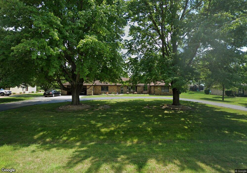
859 Rustic Ln Whiteland, IN 46184
Estimated Value: $309,000 - $354,131
3
Beds
3
Baths
2,156
Sq Ft
$153/Sq Ft
Est. Value
About This Home
This home is located at 859 Rustic Ln, Whiteland, IN 46184 and is currently estimated at $329,033, approximately $152 per square foot. 859 Rustic Ln is a home located in Johnson County with nearby schools including Pleasant Crossing Elementary School, Clark-Pleasant Middle School, and Whiteland Community High School.
Ownership History
Date
Name
Owned For
Owner Type
Purchase Details
Closed on
Jun 4, 2008
Sold by
Laugle Jack W and Laugle Sandra L
Bought by
Waggoner Terry J and Waggoner Amie D
Current Estimated Value
Home Financials for this Owner
Home Financials are based on the most recent Mortgage that was taken out on this home.
Original Mortgage
$218,250
Outstanding Balance
$139,979
Interest Rate
6.04%
Estimated Equity
$189,054
Create a Home Valuation Report for This Property
The Home Valuation Report is an in-depth analysis detailing your home's value as well as a comparison with similar homes in the area
Home Values in the Area
Average Home Value in this Area
Purchase History
| Date | Buyer | Sale Price | Title Company |
|---|---|---|---|
| Waggoner Terry J | -- | None Available |
Source: Public Records
Mortgage History
| Date | Status | Borrower | Loan Amount |
|---|---|---|---|
| Open | Waggoner Terry J | $218,250 |
Source: Public Records
Tax History
| Year | Tax Paid | Tax Assessment Tax Assessment Total Assessment is a certain percentage of the fair market value that is determined by local assessors to be the total taxable value of land and additions on the property. | Land | Improvement |
|---|---|---|---|---|
| 2025 | $2,738 | $368,100 | $41,000 | $327,100 |
| 2024 | $2,670 | $292,600 | $41,000 | $251,600 |
| 2023 | $3,219 | $301,000 | $41,000 | $260,000 |
| 2022 | $3,362 | $293,000 | $31,500 | $261,500 |
| 2021 | $2,790 | $241,000 | $31,500 | $209,500 |
| 2020 | $2,565 | $216,400 | $28,600 | $187,800 |
| 2019 | $2,352 | $199,600 | $26,700 | $172,900 |
| 2018 | $2,496 | $206,200 | $26,700 | $179,500 |
| 2017 | $2,417 | $199,400 | $26,700 | $172,700 |
| 2016 | $2,382 | $196,300 | $26,700 | $169,600 |
| 2014 | $2,525 | $196,100 | $26,400 | $169,700 |
| 2013 | $2,525 | $199,900 | $26,400 | $173,500 |
Source: Public Records
Map
Nearby Homes
- 5861 N 75 W
- 731 W 600 N
- 346 Switchgrass Ln
- 1052 Hilltop Commons Blvd
- 126 Tracy Ridge Blvd
- 3258 Hemlock St
- 821 Princeton Dr
- 143 Tracy Ridge Blvd
- 1062 Berwyn Rd
- 3088 Limber Pine Dr
- 451 Mooreland Dr
- 138 Crestwood Dr
- 217 Crestwood Dr
- 153 Parkview Dr
- 250 Southlane Dr
- 239 Shelton Place
- 122 Bel Aire Dr
- 135 Bradford Place
- 0 E 700 N Unit MBR22036500
- 2914 Branch St
Your Personal Tour Guide
Ask me questions while you tour the home.