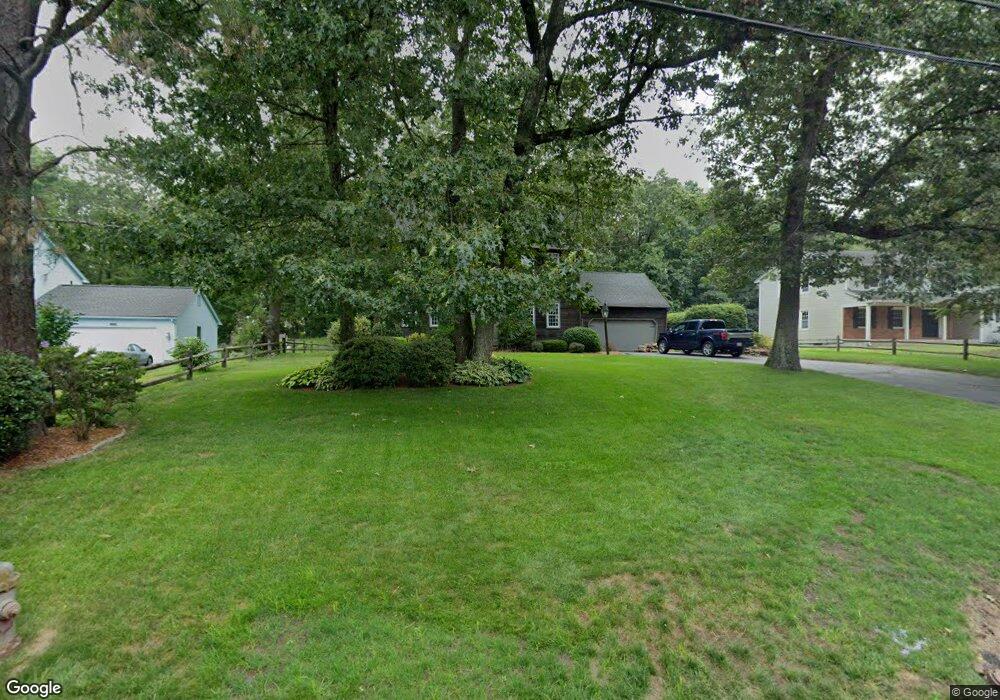
859 Shaker Rd Longmeadow, MA 01106
Estimated Value: $511,000 - $691,000
4
Beds
3
Baths
2,304
Sq Ft
$251/Sq Ft
Est. Value
About This Home
This home is located at 859 Shaker Rd, Longmeadow, MA 01106 and is currently estimated at $579,318, approximately $251 per square foot. 859 Shaker Rd is a home located in Hampden County with nearby schools including Wolf Swamp Road School, Glenbrook Middle School, and Longmeadow High School.
Ownership History
Date
Name
Owned For
Owner Type
Purchase Details
Closed on
Dec 9, 1993
Sold by
Cowen Robin G
Bought by
Frechette Michael L and Frechette Robin M
Current Estimated Value
Home Financials for this Owner
Home Financials are based on the most recent Mortgage that was taken out on this home.
Original Mortgage
$170,100
Interest Rate
6.78%
Mortgage Type
Purchase Money Mortgage
Create a Home Valuation Report for This Property
The Home Valuation Report is an in-depth analysis detailing your home's value as well as a comparison with similar homes in the area
Home Values in the Area
Average Home Value in this Area
Purchase History
| Date | Buyer | Sale Price | Title Company |
|---|---|---|---|
| Frechette Michael L | $189,000 | -- |
Source: Public Records
Mortgage History
| Date | Status | Borrower | Loan Amount |
|---|---|---|---|
| Closed | Frechette Michael L | $170,100 | |
| Previous Owner | Frechette Michael L | $15,000 |
Source: Public Records
Tax History
| Year | Tax Paid | Tax Assessment Tax Assessment Total Assessment is a certain percentage of the fair market value that is determined by local assessors to be the total taxable value of land and additions on the property. | Land | Improvement |
|---|---|---|---|---|
| 2025 | $10,680 | $505,700 | $156,600 | $349,100 |
| 2024 | $10,458 | $505,700 | $156,600 | $349,100 |
| 2023 | $9,938 | $433,600 | $126,000 | $307,600 |
| 2022 | $9,467 | $384,200 | $126,000 | $258,200 |
| 2021 | $9,300 | $375,900 | $127,600 | $248,300 |
| 2020 | $8,798 | $363,400 | $120,000 | $243,400 |
| 2019 | $8,403 | $348,800 | $120,000 | $228,800 |
| 2018 | $8,010 | $329,100 | $145,600 | $183,500 |
| 2017 | $7,817 | $331,500 | $145,600 | $185,900 |
| 2016 | $7,754 | $318,700 | $144,200 | $174,500 |
| 2015 | $7,495 | $317,300 | $142,800 | $174,500 |
Source: Public Records
Map
Nearby Homes
- 49 Yarmouth St
- 357 N Maple St
- 53 Meadowlark Dr
- 208 Birch Rd
- 63 Meadowlark Dr
- 449 The Meadows
- 64 Brookwood Dr
- 9 Metacomet Rd
- 68 Hazardville Rd
- 63 Dartmoor
- 3 Magnolia Dr
- 184 Cambridge Cir
- 302 Ashmead Commons Unit 302
- 357 Maple Rd
- 56 Liberty Ln
- 46 Liberty Ln
- 43 Liberty Ln
- 41 Liberty Ln
- 39 Liberty Ln
- 54 Liberty Ln
- 867 Shaker Rd
- 849 Shaker Rd
- 164 Sheffield Ave
- 877 Shaker Rd
- 839 Shaker Rd
- 156 Sheffield Ave Unit 1
- 156 Sheffield Ave
- 174 Sheffield Ave
- 69 Eastland Rd
- 144 Sheffield Ave
- 186 Sheffield Ave
- 844 Shaker Rd
- 5 Vance St
- 874 Shaker Rd
- 834 Shaker Rd
- 196 Sheffield Ave
- 33 Vance St
- 888 Shaker Rd
- 55 Eastland Rd
- 54 Eastland Rd
Your Personal Tour Guide
Ask me questions while you tour the home.