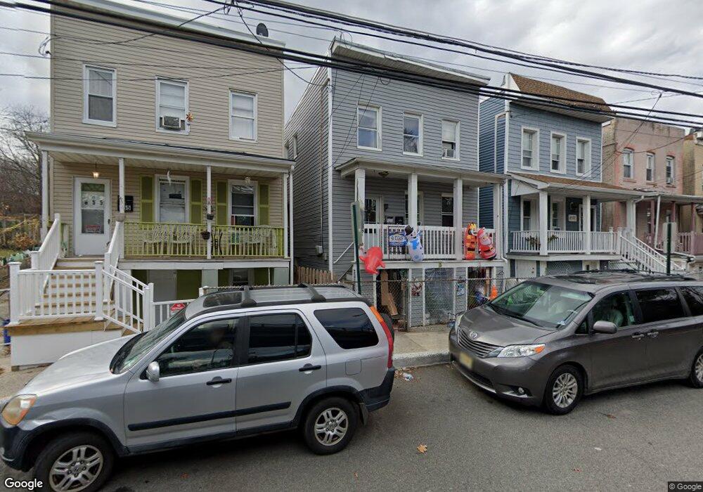
859 State St Perth Amboy, NJ 08861
Maurer NeighborhoodEstimated Value: $519,244 - $583,000
--
Bed
--
Bath
2,279
Sq Ft
$240/Sq Ft
Est. Value
About This Home
This home is located at 859 State St, Perth Amboy, NJ 08861 and is currently estimated at $546,061, approximately $239 per square foot. 859 State St is a home located in Middlesex County with nearby schools including Perth Amboy High School, Academy for Urban Leadership Charter School, and Assumption Catholic School.
Ownership History
Date
Name
Owned For
Owner Type
Purchase Details
Closed on
Jul 9, 2009
Sold by
Seelamsetty Prabhakar
Bought by
Bravo Jorge and Minacapelli Maria Del
Current Estimated Value
Home Financials for this Owner
Home Financials are based on the most recent Mortgage that was taken out on this home.
Original Mortgage
$189,504
Outstanding Balance
$125,368
Interest Rate
5.58%
Mortgage Type
FHA
Estimated Equity
$420,693
Purchase Details
Closed on
Sep 10, 2008
Sold by
Morillo Yesenia
Bought by
Seelamsetty Prabhakar
Purchase Details
Closed on
Dec 16, 2005
Sold by
Mendez Felipe
Bought by
Morillo Yesenia
Home Financials for this Owner
Home Financials are based on the most recent Mortgage that was taken out on this home.
Original Mortgage
$247,000
Interest Rate
6.28%
Create a Home Valuation Report for This Property
The Home Valuation Report is an in-depth analysis detailing your home's value as well as a comparison with similar homes in the area
Home Values in the Area
Average Home Value in this Area
Purchase History
| Date | Buyer | Sale Price | Title Company |
|---|---|---|---|
| Bravo Jorge | $193,000 | None Available | |
| Seelamsetty Prabhakar | $136,000 | None Available | |
| Morillo Yesenia | $260,000 | -- |
Source: Public Records
Mortgage History
| Date | Status | Borrower | Loan Amount |
|---|---|---|---|
| Open | Bravo Jorge | $189,504 | |
| Previous Owner | Morillo Yesenia | $247,000 |
Source: Public Records
Tax History Compared to Growth
Tax History
| Year | Tax Paid | Tax Assessment Tax Assessment Total Assessment is a certain percentage of the fair market value that is determined by local assessors to be the total taxable value of land and additions on the property. | Land | Improvement |
|---|---|---|---|---|
| 2025 | $7,980 | $264,500 | $61,100 | $203,400 |
| 2024 | $7,964 | $264,500 | $61,100 | $203,400 |
| 2023 | $7,964 | $264,500 | $61,100 | $203,400 |
| 2022 | $7,869 | $264,500 | $61,100 | $203,400 |
| 2021 | $7,879 | $264,500 | $61,100 | $203,400 |
| 2020 | $7,877 | $264,500 | $61,100 | $203,400 |
| 2019 | $7,906 | $264,500 | $61,100 | $203,400 |
| 2018 | $7,683 | $259,300 | $61,100 | $198,200 |
| 2017 | $7,668 | $259,300 | $61,100 | $198,200 |
| 2016 | $7,468 | $259,300 | $61,100 | $198,200 |
| 2015 | $7,520 | $259,300 | $61,100 | $198,200 |
| 2014 | $7,566 | $259,300 | $61,100 | $198,200 |
Source: Public Records
Map
Nearby Homes
- 278 Alpine St
- 335 Alpine St
- 168 Lynd St
- 381 Keene St
- 680 Charles St
- 676 Johnstone St
- 434 Lawrence St Unit 19
- 435 Ashley St
- 212 Hall Ave
- 270 Hall Ave
- 646 Johnstone St
- 816 Harbortown Blvd
- 794 Harbortown Blvd
- 514 S Park Dr
- 519 W Side Ave
- 649 Cornell St
- 522 Johnstone St
- 500 Great Beds Ct
- 537 Harding Ave
- 752 Donald Ave