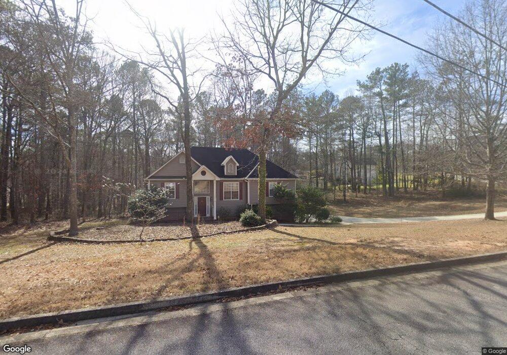
8593 Kencrest Dr Unit 17 Winston, GA 30187
Bill Arp NeighborhoodEstimated Value: $297,564 - $443,000
4
Beds
3
Baths
2,362
Sq Ft
$151/Sq Ft
Est. Value
About This Home
This home is located at 8593 Kencrest Dr Unit 17, Winston, GA 30187 and is currently estimated at $356,391, approximately $150 per square foot. 8593 Kencrest Dr Unit 17 is a home located in Douglas County with nearby schools including Mason Creek Elementary School, Mason Creek Middle School, and Alexander High School.
Ownership History
Date
Name
Owned For
Owner Type
Purchase Details
Closed on
Jan 30, 2014
Sold by
Mccrary Michael W
Bought by
Wilson Carl Collin
Current Estimated Value
Home Financials for this Owner
Home Financials are based on the most recent Mortgage that was taken out on this home.
Original Mortgage
$90,000
Outstanding Balance
$68,584
Interest Rate
4.56%
Mortgage Type
New Conventional
Estimated Equity
$287,807
Purchase Details
Closed on
Jun 20, 2011
Sold by
Mccrary Michael W
Bought by
Mccrary Michael W and Mccrary Rhoanda P
Purchase Details
Closed on
Jul 20, 1995
Sold by
Heritage Homes
Bought by
Rowell David G Valerie P
Create a Home Valuation Report for This Property
The Home Valuation Report is an in-depth analysis detailing your home's value as well as a comparison with similar homes in the area
Home Values in the Area
Average Home Value in this Area
Purchase History
| Date | Buyer | Sale Price | Title Company |
|---|---|---|---|
| Wilson Carl Collin | $143,000 | -- | |
| Mccrary Michael W | -- | -- | |
| Rowell David G Valerie P | $114,400 | -- |
Source: Public Records
Mortgage History
| Date | Status | Borrower | Loan Amount |
|---|---|---|---|
| Open | Wilson Carl Collin | $90,000 | |
| Closed | Rowell David G Valerie P | $0 |
Source: Public Records
Tax History Compared to Growth
Tax History
| Year | Tax Paid | Tax Assessment Tax Assessment Total Assessment is a certain percentage of the fair market value that is determined by local assessors to be the total taxable value of land and additions on the property. | Land | Improvement |
|---|---|---|---|---|
| 2024 | $630 | $115,600 | $23,760 | $91,840 |
| 2023 | $630 | $99,440 | $19,600 | $79,840 |
| 2022 | $2,603 | $99,440 | $19,600 | $79,840 |
| 2021 | $2,060 | $72,080 | $12,240 | $59,840 |
| 2020 | $2,090 | $72,080 | $12,240 | $59,840 |
| 2019 | $1,957 | $70,440 | $12,240 | $58,200 |
| 2018 | $1,919 | $68,120 | $12,240 | $55,880 |
| 2017 | $1,808 | $61,440 | $12,240 | $49,200 |
| 2016 | $1,808 | $60,200 | $12,480 | $47,720 |
| 2015 | $1,779 | $57,200 | $12,182 | $45,018 |
| 2014 | $1,718 | $52,840 | $12,000 | $40,840 |
| 2013 | -- | $52,280 | $12,000 | $40,280 |
Source: Public Records
Map
Nearby Homes
- 4289 Post Rd
- 4625 Post Rd
- 8636 E Union Hill Rd
- 8390 E Union Hill Rd
- 4064 Post Rd
- 4920 Carson Ct
- 0 River Bend Ct Unit 7592749
- 0 River Bend Ct Unit 10537499
- 4185 Pool Rd
- 4020 Gold Springs Pass
- 4941 N Helton Rd
- 8340 Nolandwood Ln
- 9270 Ephesus Church Rd
- 8839 Watkins Mill Rd
- 3940 Clinton Ct
- 3974 Johnston Rd
- 7946 Lambert Rd
- 8228 River Pointe Overlook
- 8593 Kencrest Dr
- 8605 Kencrest Dr
- 8577 Kencrest Dr
- 8598 Kencrest Dr
- 8590 Kencrest Dr
- 8584 Foxridge Dr
- 8606 Foxridge Dr
- 0 Foxridge Dr Unit 7341143
- 0 Foxridge Dr Unit 8447271
- 0 Foxridge Dr Unit 7237840
- 0 Foxridge Dr
- 8582 Kencrest Dr
- 8561 Kencrest Dr
- 8595 Foxridge Dr
- 8587 Foxridge Dr
- 8574 Kencrest Dr
- 8614 Foxridge Dr Unit 3
- 8614 Foxridge Dr
- 8603 Foxridge Dr
- 8566 Kencrest Dr