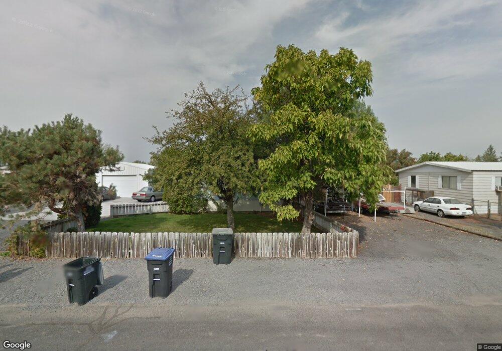
8596 Charles Rd NE Moses Lake, WA 98837
Estimated Value: $283,067 - $348,000
3
Beds
2
Baths
1,716
Sq Ft
$182/Sq Ft
Est. Value
About This Home
This home is located at 8596 Charles Rd NE, Moses Lake, WA 98837 and is currently estimated at $312,267, approximately $181 per square foot. 8596 Charles Rd NE is a home located in Grant County with nearby schools including Larson Heights Elementary School, Endeavor Middle School, and Moses Lake High School.
Ownership History
Date
Name
Owned For
Owner Type
Purchase Details
Closed on
Mar 18, 2015
Sold by
Mccuistion Craig S
Bought by
Soper Bruce A and Cahoon Alice
Current Estimated Value
Home Financials for this Owner
Home Financials are based on the most recent Mortgage that was taken out on this home.
Original Mortgage
$119,790
Outstanding Balance
$91,716
Interest Rate
3.75%
Mortgage Type
FHA
Estimated Equity
$220,551
Create a Home Valuation Report for This Property
The Home Valuation Report is an in-depth analysis detailing your home's value as well as a comparison with similar homes in the area
Home Values in the Area
Average Home Value in this Area
Purchase History
| Date | Buyer | Sale Price | Title Company |
|---|---|---|---|
| Soper Bruce A | $122,000 | Stewart Title |
Source: Public Records
Mortgage History
| Date | Status | Borrower | Loan Amount |
|---|---|---|---|
| Open | Soper Bruce A | $119,790 |
Source: Public Records
Tax History Compared to Growth
Tax History
| Year | Tax Paid | Tax Assessment Tax Assessment Total Assessment is a certain percentage of the fair market value that is determined by local assessors to be the total taxable value of land and additions on the property. | Land | Improvement |
|---|---|---|---|---|
| 2025 | $2,973 | $292,176 | -- | -- |
| 2024 | $2,473 | $207,720 | $25,000 | $182,720 |
| 2023 | $2,176 | $179,800 | $25,000 | $154,800 |
| 2022 | $2,182 | $179,800 | $25,000 | $154,800 |
| 2021 | $1,867 | $179,800 | $25,000 | $154,800 |
| 2020 | $1,865 | $147,375 | $25,000 | $122,375 |
| 2019 | $1,410 | $92,270 | $18,000 | $74,270 |
| 2018 | $1,284 | $77,035 | $18,000 | $59,035 |
| 2017 | $1,410 | $89,955 | $18,000 | $71,955 |
| 2016 | $1,577 | $100,360 | $18,000 | $82,360 |
| 2013 | -- | $95,275 | $18,000 | $77,275 |
Source: Public Records
Map
Nearby Homes
- 8558 Arlene Rd NE
- 8653 Harris Rd NE
- 4886 Ray Rd NE
- 0 Harris Road Ne & Ray Rd NE Unit NWM2453754
- 0 TBD Broad St NE
- 4815 Airway Dr NE Unit 86
- 4815 Airway Dr NE Unit 72
- 4815 Airway Dr NE Unit 12
- 2043 N Oak Rd
- 4397 Jackie Dr NE
- 1019 Redwood Rd
- 1105 Redwood Rd
- 1102 Redwood Rd
- 1030 Redwood Rd
- 1958 Hickory Rd
- 1113 Redwood Rd
- 1903 Hickory Rd
- 0 NNA Road I NE
- 428 Biggs Rd Unit 430
- 2039 Oak Rd
- 8576 Charles Rd NE
- 8616 Charles Rd NE
- 0 L21 Charles Rd NE
- 8597 Vince Rd NE
- 8577 Vince Rd NE
- 8597 Charles Rd NE
- 8558 Charles Rd NE
- 8635 Vince Rd NE
- 8635 Charles Rd NE
- 8654 Charles Rd NE
- 8653 Vince Rd NE
- 8596 Vince Rd NE
- 8539 Vince Rd NE
- 8596 Arlene Rd NE
- 8653 Charles Rd NE
- 8539 Charles Rd NE
- 8558 Vince Rd NE
- 8634 Arlene Rd NE
- 8520 Charles Rd NE