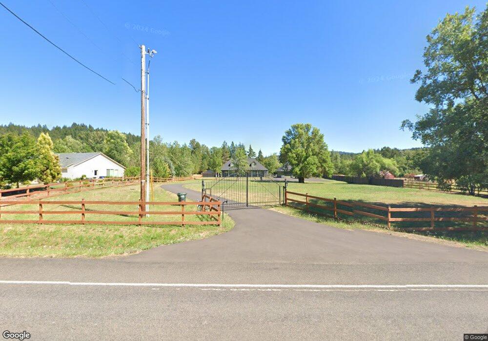
85965 Lorane Hwy Eugene, OR 97405
Estimated Value: $719,000 - $878,621
3
Beds
3
Baths
2,676
Sq Ft
$302/Sq Ft
Est. Value
About This Home
This home is located at 85965 Lorane Hwy, Eugene, OR 97405 and is currently estimated at $807,655, approximately $301 per square foot. 85965 Lorane Hwy is a home located in Lane County with nearby schools including Twin Oaks Elementary School, Kennedy Middle School, and Churchill High School.
Ownership History
Date
Name
Owned For
Owner Type
Purchase Details
Closed on
Nov 12, 2021
Sold by
Peterson Jason D and Peterson Trisha L
Bought by
Peterson Jason and Peterson Trisha
Current Estimated Value
Purchase Details
Closed on
Oct 7, 2010
Sold by
Deutsche Bank National Trust
Bought by
Peterson Jason D and Peterson Trisha L
Home Financials for this Owner
Home Financials are based on the most recent Mortgage that was taken out on this home.
Original Mortgage
$313,208
Outstanding Balance
$207,897
Interest Rate
4.62%
Mortgage Type
FHA
Estimated Equity
$599,758
Purchase Details
Closed on
Apr 7, 2010
Sold by
Anderson Amy M
Bought by
Deutsche Bank National Trust Company
Purchase Details
Closed on
Oct 3, 2001
Sold by
Beauchamp Charles A and Beauchamp Jane
Bought by
Anderson Amy M
Create a Home Valuation Report for This Property
The Home Valuation Report is an in-depth analysis detailing your home's value as well as a comparison with similar homes in the area
Purchase History
| Date | Buyer | Sale Price | Title Company |
|---|---|---|---|
| Peterson Jason | -- | None Available | |
| Peterson Jason D | $245,000 | First American Title | |
| Deutsche Bank National Trust Company | $351,740 | First American Title | |
| Anderson Amy M | $45,000 | Western Pioneer Title Co |
Source: Public Records
Mortgage History
| Date | Status | Borrower | Loan Amount |
|---|---|---|---|
| Open | Peterson Jason D | $313,208 |
Source: Public Records
Tax History
| Year | Tax Paid | Tax Assessment Tax Assessment Total Assessment is a certain percentage of the fair market value that is determined by local assessors to be the total taxable value of land and additions on the property. | Land | Improvement |
|---|---|---|---|---|
| 2025 | $6,928 | $500,251 | -- | -- |
| 2024 | $6,870 | $485,681 | -- | -- |
| 2023 | $6,870 | $471,535 | $0 | $0 |
| 2022 | $6,462 | $457,801 | $0 | $0 |
| 2021 | $5,817 | $444,467 | $0 | $0 |
| 2020 | $5,897 | $431,522 | $0 | $0 |
| 2019 | $5,683 | $418,954 | $0 | $0 |
| 2018 | $5,249 | $394,905 | $0 | $0 |
| 2017 | $4,885 | $394,905 | $0 | $0 |
| 2016 | $4,603 | $383,403 | $0 | $0 |
| 2015 | $4,556 | $372,236 | $0 | $0 |
| 2014 | $4,415 | $361,394 | $0 | $0 |
Source: Public Records
Map
Nearby Homes
- 86182 Lorane Hwy
- 2191 Lorane Hwy
- 86134 Lorane Hwy
- 86404 Bailey Hill Rd
- 0 Lorane Hwy Unit 1-3-5-A
- 85168 Strayer Place
- 3237 Timberline Dr
- 3490 Southview Dr
- 29652 Lusk Rd
- 3085 Summit Sky Blvd
- 3368 Bentley Ave
- 3362 Bentley Ave
- 3147 Tanner Park Dr
- 0 Brighton Ave Unit 446 19051229
- 3825 Brighton Ave
- 3343 Bentley Ave
- 0 Eagle View Dr Unit 3 773016563
- 29530 Hodsdonsdale Ln
- 0 W 40th Ave Unit 3 639571582
- 29625 Gimpl Hill Rd
- 85969 Lorane Hwy
- 85951 Lorane Hwy
- 85975 Lorane Hwy
- 85949 Lorane Hwy
- 85933 Lorane Hwy
- 85882 Mcbeth Rd
- 85987 Lorane Hwy
- 1 Mcbeth Rd
- 85993 Lorane Hwy
- 85942 Mcbeth Rd
- 85818 Mcbeth Rd
- 86000 Lorane Hwy
- 85997 Lorane Hwy
- 85913 Lorane Hwy
- 86031 Lorane Hwy
- 85895 Lorane Hwy
- 85900 Lorane Hwy
- 86026 Lorane Hwy
- 85760 Mcbeth Rd
- 85726 Svarverud Rd
Your Personal Tour Guide
Ask me questions while you tour the home.