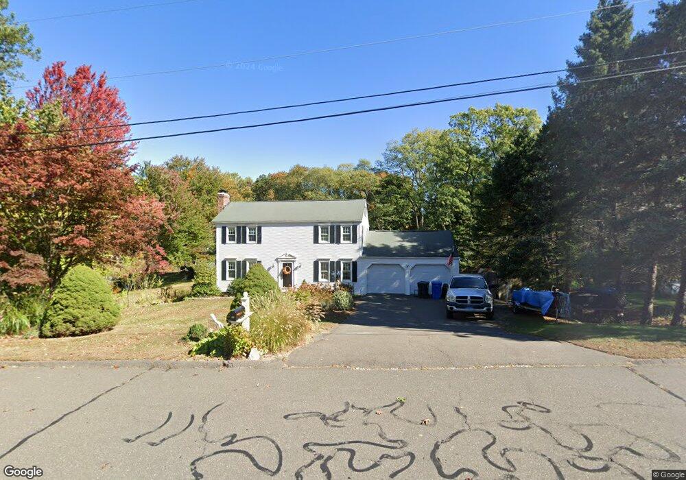
86 Apple Rd Bristol, CT 06010
North Bristol NeighborhoodEstimated Value: $415,849 - $589,000
4
Beds
4
Baths
1,702
Sq Ft
$283/Sq Ft
Est. Value
About This Home
This home is located at 86 Apple Rd, Bristol, CT 06010 and is currently estimated at $480,962, approximately $282 per square foot. 86 Apple Rd is a home located in Hartford County with nearby schools including West Bristol Sch, Bristol Central High School, and St. Joseph School.
Ownership History
Date
Name
Owned For
Owner Type
Purchase Details
Closed on
Sep 9, 2022
Sold by
Manning Deborah M
Bought by
Manning Family Irt
Current Estimated Value
Purchase Details
Closed on
Dec 1, 1999
Sold by
Siomades Thomas and Siomades Lorraine
Bought by
Manning Deborah H
Purchase Details
Closed on
Jun 23, 1992
Sold by
Guite Lisa M and Guite Jeffrey D
Bought by
Siomades Thomas and Siomades Lorianne
Create a Home Valuation Report for This Property
The Home Valuation Report is an in-depth analysis detailing your home's value as well as a comparison with similar homes in the area
Home Values in the Area
Average Home Value in this Area
Purchase History
| Date | Buyer | Sale Price | Title Company |
|---|---|---|---|
| Manning Family Irt | -- | None Available | |
| Manning Deborah H | $217,000 | -- | |
| Siomades Thomas | $172,300 | -- |
Source: Public Records
Mortgage History
| Date | Status | Borrower | Loan Amount |
|---|---|---|---|
| Previous Owner | Siomades Thomas | $200,000 | |
| Previous Owner | Siomades Thomas | $100,000 | |
| Previous Owner | Siomades Thomas | $75,000 |
Source: Public Records
Tax History
| Year | Tax Paid | Tax Assessment Tax Assessment Total Assessment is a certain percentage of the fair market value that is determined by local assessors to be the total taxable value of land and additions on the property. | Land | Improvement |
|---|---|---|---|---|
| 2025 | $7,884 | $233,590 | $55,510 | $178,080 |
| 2024 | $7,360 | $231,070 | $55,510 | $175,560 |
| 2023 | $7,013 | $231,070 | $55,510 | $175,560 |
| 2022 | $6,392 | $166,670 | $43,400 | $123,270 |
| 2021 | $6,392 | $166,670 | $43,400 | $123,270 |
| 2020 | $6,392 | $166,670 | $43,400 | $123,270 |
| 2019 | $6,342 | $166,670 | $43,400 | $123,270 |
| 2018 | $6,147 | $166,670 | $43,400 | $123,270 |
| 2017 | $6,315 | $175,280 | $59,010 | $116,270 |
| 2016 | $6,315 | $175,280 | $59,010 | $116,270 |
| 2015 | $6,066 | $175,280 | $59,010 | $116,270 |
| 2014 | $6,066 | $175,280 | $59,010 | $116,270 |
Source: Public Records
Map
Nearby Homes
- 0 Hart St Unit 170255530
- 38 Eastwood Rd
- 209 Ashley Rd
- 62 (Lot 13-1) James P Casey Rd
- 454 Maple Ave
- 19 Woodside Way
- 354 Maple Ave
- 83 Lardner Rd
- 35 Lardner Rd
- 380 Burlington Ave
- 439 James P Casey Rd
- 35 James P Casey Rd
- 4 Southdown Dr
- 68 Hart St
- 0 Fairlawn St
- 40 Matthews St Unit 30
- 15 Bittersweet Ln
- 135 Jerome Ave
- 1 Hickory St
- 63 Jerome Ave
Your Personal Tour Guide
Ask me questions while you tour the home.