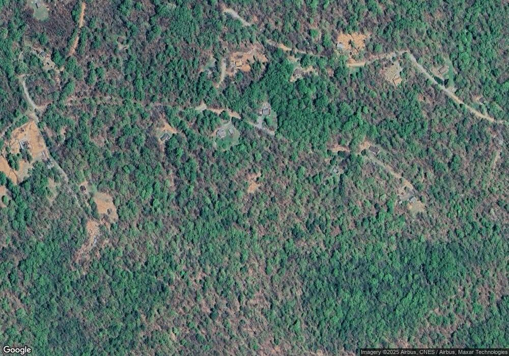
86 Bluebird Dr Stanardsville, VA 22973
Estimated Value: $151,564 - $233,000
2
Beds
1
Bath
560
Sq Ft
$323/Sq Ft
Est. Value
About This Home
This home is located at 86 Bluebird Dr, Stanardsville, VA 22973 and is currently estimated at $180,855, approximately $322 per square foot. 86 Bluebird Dr is a home located in Greene County with nearby schools including William Monroe High School.
Ownership History
Date
Name
Owned For
Owner Type
Purchase Details
Closed on
May 9, 2019
Sold by
Kenneth And Cheryl Kaminski Living Trust
Bought by
Santulli Joellen R and Santulli Zachary S
Current Estimated Value
Home Financials for this Owner
Home Financials are based on the most recent Mortgage that was taken out on this home.
Original Mortgage
$56,800
Outstanding Balance
$49,735
Interest Rate
4%
Mortgage Type
New Conventional
Estimated Equity
$131,120
Purchase Details
Closed on
Dec 7, 2002
Sold by
Kaminski Charles F
Bought by
Kaminski Kenneth R
Create a Home Valuation Report for This Property
The Home Valuation Report is an in-depth analysis detailing your home's value as well as a comparison with similar homes in the area
Home Values in the Area
Average Home Value in this Area
Purchase History
| Date | Buyer | Sale Price | Title Company |
|---|---|---|---|
| Santulli Joellen R | $71,000 | Old Republic Natl Ttl Ins Co | |
| Kaminski Kenneth R | $250 | Blue Ridge Title & Setmnt Co |
Source: Public Records
Mortgage History
| Date | Status | Borrower | Loan Amount |
|---|---|---|---|
| Open | Santulli Joellen R | $56,800 |
Source: Public Records
Tax History Compared to Growth
Tax History
| Year | Tax Paid | Tax Assessment Tax Assessment Total Assessment is a certain percentage of the fair market value that is determined by local assessors to be the total taxable value of land and additions on the property. | Land | Improvement |
|---|---|---|---|---|
| 2025 | $469 | $68,000 | $18,700 | $49,300 |
| 2024 | $469 | $66,000 | $18,700 | $47,300 |
| 2023 | $482 | $66,000 | $18,700 | $47,300 |
| 2022 | $452 | $55,100 | $18,700 | $36,400 |
| 2021 | $449 | $54,700 | $18,700 | $36,000 |
| 2020 | $419 | $51,100 | $18,700 | $32,400 |
| 2019 | $419 | $51,100 | $18,700 | $32,400 |
| 2018 | $382 | $49,300 | $18,700 | $30,600 |
| 2017 | $382 | $49,300 | $18,700 | $30,600 |
| 2016 | $398 | $51,300 | $23,300 | $28,000 |
| 2015 | $385 | $51,300 | $23,300 | $28,000 |
| 2014 | $448 | $62,200 | $31,100 | $31,100 |
| 2013 | -- | $62,200 | $31,100 | $31,100 |
Source: Public Records
Map
Nearby Homes
- 492 Red Bird Dr
- 415 Pine Hill Dr
- 392 Pocosan Mountain Rd
- 0 Mae Dr
- 1022 Turkey Ridge Rd
- 1194 Greene Acres Rd N
- 4345 Spotswood Trail
- TBD Marcs Place
- 114 Sunrise View
- 336 Bear Run Rd
- Lot 14 Bartholomew Place
- 13 Bartholomew Place
- Lot 12 Bartholomew Place
- TBD Stone Brook Dr
- 536 Redbud Dr
- 0 Octonia Rd Unit 670773
- Lot 21 Yates Cir
- 34 Bluebird Dr
- 67 Bluebird Dr
- 168 Bluebird Dr
- TBD Red Bird Dr
- 44-45 Red Bird Dr
- Lot 53 Red Bird Dr
- Lot 44 Red Bird Dr
- Lot 45 Red Bird Dr
- 1185 Red Bird Dr
- 1112 Red Bird Dr
- 925 Red Bird Dr
- 1083 Red Bird Dr
- 199 Bluebird Dr
- 916 Red Bird Dr
- 256 Bluebird Dr
- 878 Red Bird Dr
- 1262 Red Bird Dr
- 1337 Red Bird Dr
- 255 Bluebird Dr
- 817 Red Bird Dr
